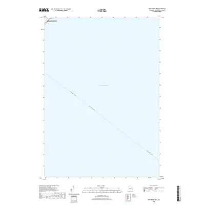
2018 Map of Two Rivers OE S
USGS Topo · Published 2018About this map
Lake Michigan dominates this coastal survey, where the open water is defined by the historical transit of the Lake Michigan Car Ferry. This maritime route connects the Wisconsin shoreline to eastern ports, reflecting a long-standing Great Lakes tradition of transporting rail cars and automobiles across the water to bypass land-based congestion. Along the northwestern edge, the city of Manitowoc appears as the primary land-based point of interest. This particular sheet captures the industrial and logistical character of the lakefront, focusing on the interface between the urban grid and the expansive maritime environment during the late 2010s.
Find a feature on this map
3 named features on this map. Tap any name to fly to it.
Don’t see what you’re looking for? This feature index may not catch every label — zoom into the map to look around manually.
Map Details
Editions of this 2018 Two Rivers OE S Map
This is the sole edition of this map. No revisions or reprints were ever made.
Other maps of this area

1954 · Manitowoc
USGS Topo · 1:62,500

1954 · Cleveland
USGS Topo · 1:24,000

1954 · Sheboygan North
USGS Topo · 1:62,500

1954 · Manitowoc
USGS Topo · 1:24,000

1954 · Milwaukee
USGS Topo · 1:250,000

1954 · Manitowoc
USGS Topo · 1:250,000

1958 · Manitowoc
USGS Topo · 1:250,000

1958 · Milwaukee
USGS Topo · 1:250,000
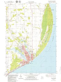
1978 · Two Rivers
USGS Topo · 1:24,000
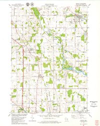
1978 · Mishicot
USGS Topo · 1:24,000