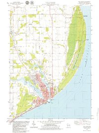
1978 Map of Two Rivers
USGS Topo · Published 1979About this map
The confluence of the East Twin River and West Twin River at Two Rivers anchors this late-1970s coastal survey. The city's industrial and maritime foundations are evident in the dense street grid near the U S Coast Guard Station and the Chicago and North Western rail line that skirts the shoreline. North of the city, the landscape transitions into a mix of rural farmsteads, exemplified by the Englebert Farms Landing Strip, and expansive conservation lands. The eastern edge is defined by the sweeping arc of Lake Michigan, where the Point Beach State Forest and Rahr Memorial School Forest preserve the lakefront. Local genealogy is well-represented through numerous burial grounds such as Saxonburg Cem, Forest View Cem, and the Tannery Cem, alongside neighborhood institutions like Sacred Heart Sch and Koenig Sch.
Find a feature on this map
63 named features on this map. Tap any name to fly to it.
Don’t see what you’re looking for? This feature index may not catch every label — zoom into the map to look around manually.
Map Details
Editions of this 1978 Two Rivers Map
This is the sole edition of this map. No revisions or reprints were ever made.
Other maps of this area

1954 · Kewaunee
USGS Topo · 1:62,500

1954 · Manitowoc
USGS Topo · 1:62,500

1954 · Manitowoc
USGS Topo · 1:24,000

1954 · Manitowoc
USGS Topo · 1:250,000

1958 · Manitowoc
USGS Topo · 1:250,000
1978 · Larrabee
USGS Topo · 1:24,000
1978 · Mishicot
USGS Topo · 1:24,000
1978 · Two Creeks
USGS Topo · 1:24,000
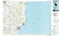
1984 · Manitowoc
USGS Topo · 1:100,000
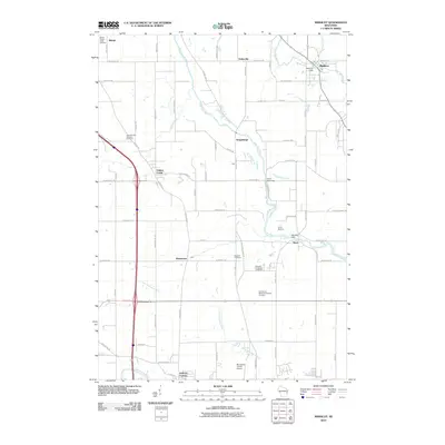
2010 · Mishicot
USGS Topo · 1:24,000