2020s Maps of Schleswig, Wisconsin
Explore 2 historic maps of Schleswig from the 2020s. These maps offer a rare glimpse into what life looked like during the 2020s — showing old roads, neighborhoods, homes, and landmarks that have changed or disappeared over time.
Whether you're researching your family's past, planning a metal detecting trip, or studying how Schleswig's landscape evolved across the 2020s, these high-resolution maps are a powerful tool for exploring the history of this region.
- Focus on a specific era: All maps on this page are from the 2020s, giving you a focused view of this time period.
- See what’s changed: Compare century-old streets, trails, and buildings to today's modern landscape using overlays and satellite layers.
- Research with precision: Use these maps for genealogy, historical research, land use analysis, or educational projects.
- View, download, or print: Maps are fully viewable online in high resolution, and can be downloaded or printed for your own records.
Start exploring Schleswig's history through authentic maps from the 2020s. This is your window into the past.
Schleswig, WI maps
(2)- 2022 Map of School Hill, 2022 Print
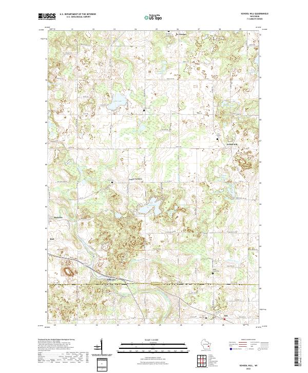 2022 School Hill2022 Print · USGSThe glacial landscapes of eastern Wisconsin are captured here in the early twenty-first century, showing the rural communities of St. Nazianz and School Hill. Genealogists can locate family plots at Holy Trinity Cem and Union Cem or trace the Ice Age National Scenic Trl through the lake district.
 - 2022 Map of Kiel, 2022 Print
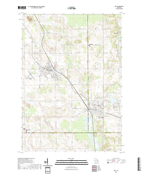 2022 Kiel2022 Print · USGSThe manufacturing and farming corridor of Calumet and Manitowoc counties comes into focus in the early 2020s. Researchers can trace family history at Holy Rosary Cem, explore the rural hamlet of Steinthal, or follow the Sheboygan River through Kiel.
End of results
Showing maps 1-2 of 2
Top cities near Schleswig
- Sheboygan historical maps
- Manitowoc historical maps
- Plymouth historical maps
- Town of Sheboygan historical maps
- Sheboygan Falls historical maps
- Chilton historical maps
See more
Top neighborhoods of Schleswig
- Louis Corners historical maps
- Millhome historical maps
- Rockville historical maps
- Meggers historical maps
Frequently asked questions
- What are the different types of historical maps available for Schleswig?
- What is the oldest map of Schleswig?
- Where can I purchase historical maps of Schleswig for my home or office?
- Where can I download high-res historical maps of Schleswig?
- Are there historical topographic maps available for Schleswig?
- Is there historical aerial imagery available for Schleswig?
- Where are historical maps of Schleswig sourced from?