2000s (21st Century) Maps of Marinette County, Wisconsin
Explore 76 historic maps of Marinette County from the 2000s (21st Century). These maps offer a rare glimpse into what life looked like during the 2000s — showing old roads, neighborhoods, homes, and landmarks that have changed or disappeared over time.
Whether you're researching your family's past, planning a metal detecting trip, or studying how Marinette County's landscape evolved across the 2000s, these high-resolution maps are a powerful tool for exploring the history of this region.
- Focus on a specific era: All maps on this page are from the 2000s, giving you a focused view of this time period.
- See what’s changed: Compare century-old streets, trails, and buildings to today's modern landscape using overlays and satellite layers.
- Research with precision: Use these maps for genealogy, historical research, land use analysis, or educational projects.
- View, download, or print: Maps are fully viewable online in high resolution, and can be downloaded or printed for your own records.
Start exploring Marinette County's history through authentic maps from the 2000s. This is your window into the past.
Marinette County, WI maps
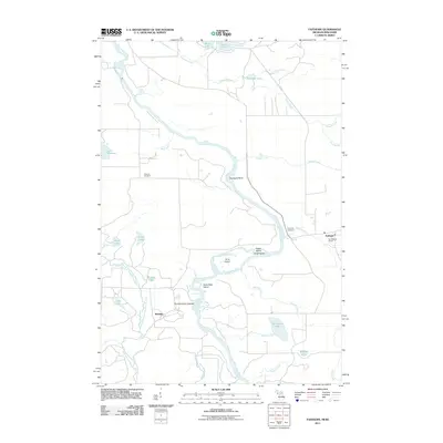
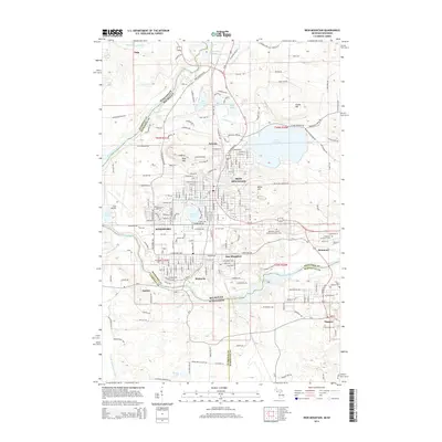
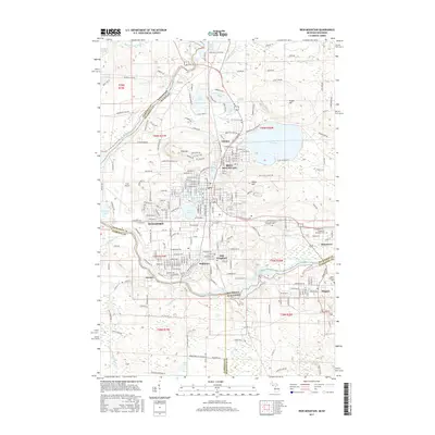
(76)- 2011 Map of Iron Mountain, 2011 Print
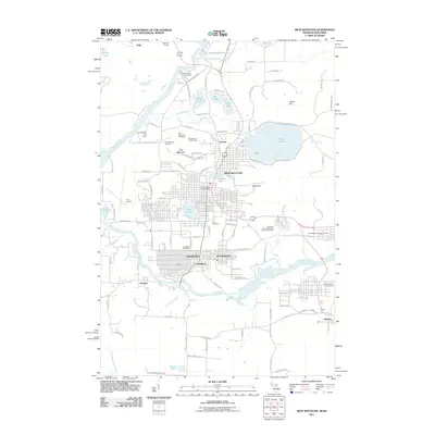 2011 Iron Mountain2011 Print · USGSCovers Marinette County, including Iron Mountain, Kingsford, and other nearby areas
 - 2011 Map of Vulcan, 2011 Print
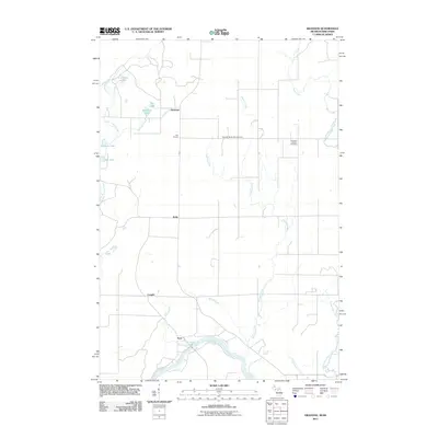
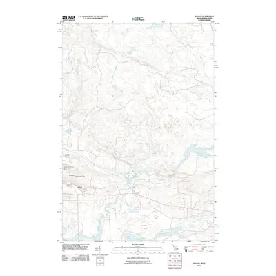 2011 Vulcan2011 Print · USGSCovers Marinette County, including Waucedah Township, Loretto, and other nearby areas
 - 2011 Map of Chappee Rapids, 2011 Print
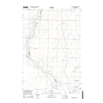
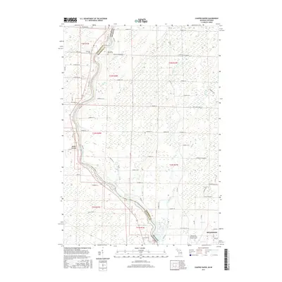
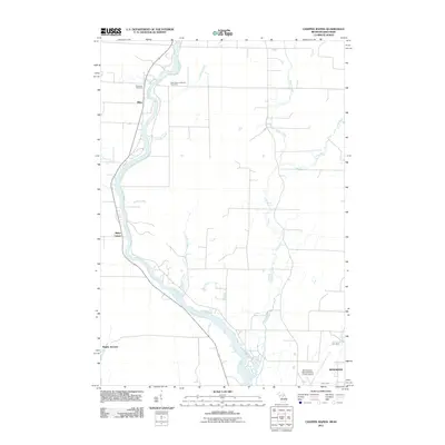 2011 Chappee Rapids2011 Print · USGSCovers Marinette County, including Menominee, Porterfield, and other nearby areas
 - 2011 Map of Bear Point, 2011 Print
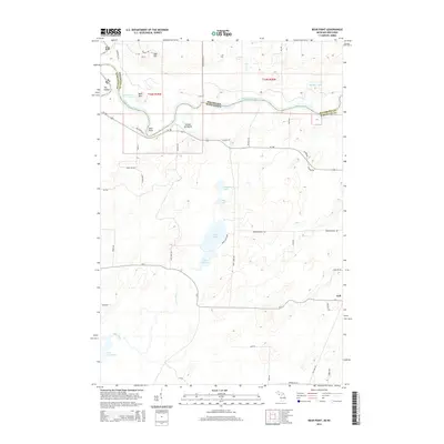
 2011 Bear Point2011 Print · USGSCovers Marinette County, including Porterfield, Wagner, and other nearby areas
 - 2011 Map of Faithorn, 2011 Print
 2011 Faithorn2011 Print · USGSCovers Marinette County, including Pembine, Faithorn, and other nearby areas
 - 2011 Map of Swanson, 2011 Print
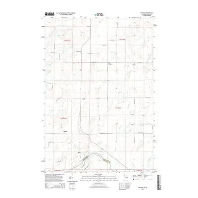
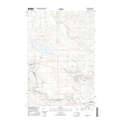
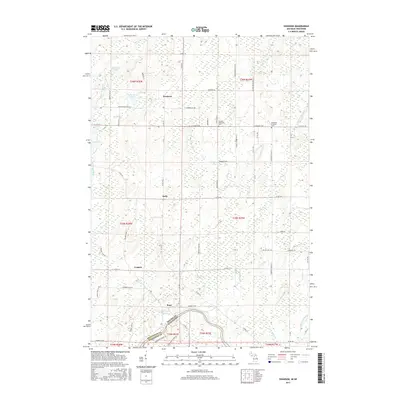
 2011 Swanson2011 Print · USGSCovers Marinette County, including Wagner, Lake Township, and other nearby areas
 - 2011 Map of Norway, 2011 Print
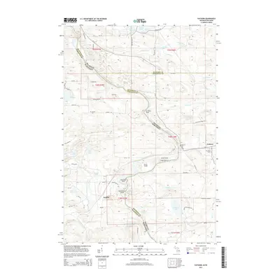
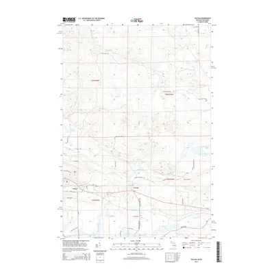
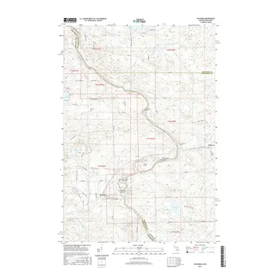
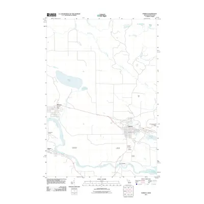 2011 Norway2011 Print · USGSCovers Marinette County, including Norway, Niagara, and other nearby areas
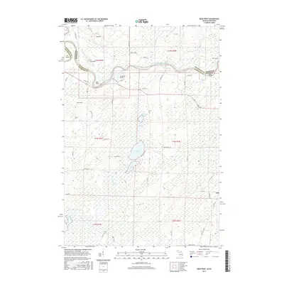
 - 2011 Map of Resort Lake, 2011 Print
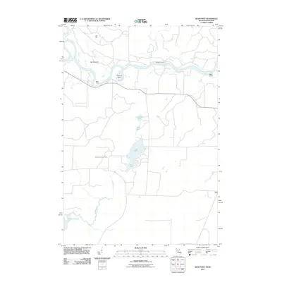
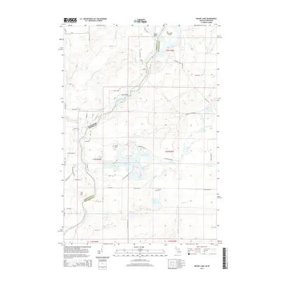
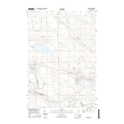
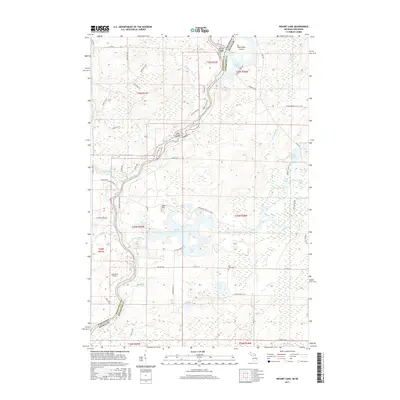
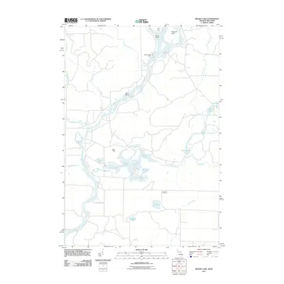 2011 Resort Lake2011 Print · USGSCovers Marinette County, including Amberg, Lake Township, and other nearby areas
 - 2014 Map of Iron Mountain, 2014 Print
 2014 Iron Mountain2014 Print · USGSCovers Marinette County, including Iron Mountain, Kingsford, and other nearby areas
 - 2014 Map of Resort Lake, 2014 Print
 2014 Resort Lake2014 Print · USGSCovers Marinette County, including Amberg, Lake Township, and other nearby areas
 - 2014 Map of Faithorn, 2014 Print
 2014 Faithorn2014 Print · USGSCovers Marinette County, including Pembine, Faithorn, and other nearby areas
 - 2014 Map of Chappee Rapids, 2014 Print
 2014 Chappee Rapids2014 Print · USGSCovers Marinette County, including Menominee, Porterfield, and other nearby areas
 - 2014 Map of Vulcan, 2014 Print
 2014 Vulcan2014 Print · USGSCovers Marinette County, including Waucedah Township, Loretto, and other nearby areas
 - 2014 Map of Bear Point, 2014 Print
 2014 Bear Point2014 Print · USGSCovers Marinette County, including Porterfield, Wagner, and other nearby areas
 - 2014 Map of Norway, 2014 Print
 2014 Norway2014 Print · USGSCovers Marinette County, including Norway, Niagara, and other nearby areas
 - 2014 Map of Swanson, 2014 Print
 2014 Swanson2014 Print · USGSCovers Marinette County, including Wagner, Lake Township, and other nearby areas
 - 2017 Map of Resort Lake, 2017 Print
 2017 Resort Lake2017 Print · USGSCovers Marinette County, including Amberg, Lake Township, and other nearby areas
 - 2017 Map of Chappee Rapids, 2017 Print
 2017 Chappee Rapids2017 Print · USGSCovers Marinette County, including Menominee, Porterfield, and other nearby areas
 - 2017 Map of Norway, 2017 Print
 2017 Norway2017 Print · USGSCovers Marinette County, including Norway, Niagara, and other nearby areas
 - 2017 Map of Faithorn, 2017 Print
 2017 Faithorn2017 Print · USGSCovers Marinette County, including Pembine, Faithorn, and other nearby areas
 - 2017 Map of Iron Mountain, 2017 Print
 2017 Iron Mountain2017 Print · USGSCovers Marinette County, including Iron Mountain, Kingsford, and other nearby areas
 - 2017 Map of Bear Point, 2017 Print
 2017 Bear Point2017 Print · USGSCovers Marinette County, including Porterfield, Wagner, and other nearby areas
 - 2017 Map of Swanson, 2017 Print
 2017 Swanson2017 Print · USGSCovers Marinette County, including Wagner, Lake Township, and other nearby areas
 - 2017 Map of Vulcan, 2017 Print
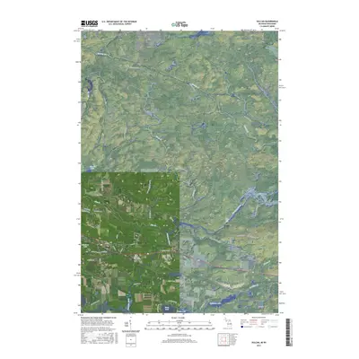 2017 Vulcan2017 Print · USGSCovers Marinette County, including Waucedah Township, Loretto, and other nearby areas
 - 2018 Map of Green Bay (All Water), 2018 Print
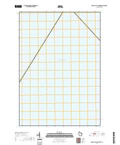 2018 Green Bay (All Water)2018 Print · USGSThe maritime intersection of Marinette and Door counties is captured in this late 2010s survey of open water. Local historians can trace the exact diagonal boundary line between Marinette Co and Door Co as it spans Green Bay and Lake Michigan.
Showing maps 1-25 of 76
Top cities of Marinette County
- Marinette historical maps
- Peshtigo historical maps
- Peshtigo historical maps
- Porterfield historical maps
- Niagara historical maps
- Dunbar historical maps
See more
Frequently asked questions
- What are the different types of historical maps available for Marinette County?
- What is the oldest map of Marinette County?
- Where can I purchase historical maps of Marinette County for my home or office?
- Where can I download high-res historical maps of Marinette County?
- Are there historical topographic maps available for Marinette County?
- Is there historical aerial imagery available for Marinette County?
- Where are historical maps of Marinette County sourced from?