Old Maps of Grover, Wisconsin
Explore 47 old maps of Grover, spanning from 1939 to today. These high-resolution historic maps reveal how streets, neighborhoods, landmarks, and natural features evolved over time — perfect for genealogy, metal detecting, research, and local history exploration.
What you can do with these maps:
- See how Grover changed over time: Compare historical maps to modern-day views to trace roads, homesites, rail lines & more.
- View detailed metadata: Each map includes creators, publishers, year, scale, and archive source.
- Overlay maps with satellite & LiDAR: Visualize the past alongside modern tools to explore terrain & human change.
- Trusted historical sources: Maps sourced from the USGS, Library of Congress, and other archives.
- Access maps your way: View online, download high-res files, or order prints for personal or research use.
Start exploring old maps of Grover to uncover forgotten places, hidden landmarks, and the deep history beneath your feet.
Grover, WI maps
(47)- 1939 Map of Porterfield, 1952 Print
 1939 Porterfield1952 Print · USGSMarinette County was a landscape of timber, power, and scattered rural schoolhouses in the years just before the war. Genealogists can trace family roots through dozens of local landmarks like Behnke Sch, St Johns Ch, and the Harmony Cem.
 - 1942 Map of Porterfield
 1942 Porterfield1942 Print · USGSMarinette and Oconto counties are documented here in the early 1940s, showing a landscape defined by the Peshtigo River and its many rural school districts. Researchers can find dozens of local landmarks, including Bagley Junction, Harmony Cem, and the Potato Rapids Power Dam.
 - 1954 Map of Escanaba, 1967 Print
 1954 Escanaba1967 Print · USGSThe Upper Peninsula and Door County shorelines meet here in the mid-fifties, showing the vital maritime and timber networks of the Great Lakes. Researchers can trace historic rail lines, old fire lookouts like the Stonington Fire Tower, and island settlements such as Washington Island.2 unique versions available
 - 1954 Map of Manitowoc, 1968 Print
 1954 Manitowoc1968 Print · USGSLake Michigan served as a vital transit corridor in the mid-fifties, with car and auto ferries linking the industrial ports of Wisconsin to the Michigan timberlands. Genealogists and maritime historians can trace active ferry routes like the Ann Arbor Railway Car and Auto Ferry and locate early settlements from Brussels to Algoma.2 unique versions available
 - 1956 Map of Oconto, 1957 Print
 1956 Oconto1957 Print · USGSCoastal Oconto County at the mid-century mark shows a landscape of busy riverfronts and dense rural school districts. Genealogists can trace family roots through numerous country schools like Victory Sch and Brick Sch, or locate old lakeside settlements such as Pensaukee and Oak Orchard.2 unique versions available
 - 1957 Map of Escanaba
 1957 Escanaba1957 Print · USGSThe Upper Peninsula and Door County shorelines meet in the mid-fifties, capturing a landscape of timber, iron, and maritime trade. Genealogists and local historians can trace the Chicago & North Western RR through settlements like Hermansville or locate St Vitals Church and the Potawatome Indian Reservation.
 - 1958 Map of Escanaba
 1958 Escanaba1958 Print · USGSNorthern Lake Michigan maritime commerce and timberlands are captured here in the mid-fifties. Genealogists and historians can trace rail networks like the Escanaba and Lake Superior or locate island settlements such as Detroit Harbor and Fish Creek.
 - 1958 Map of Manitowoc
 1958 Manitowoc1958 Print · USGSLake Michigan and its shorelines are shown in the late fifties when maritime transport defined the region. Researchers can trace the routes of the Ann Arbor Railroad Ferry or locate old settlements like St. Nazianz, Rostock, and Two Creeks.
 - 1963 Map of Porterfield, 1964 Print
 1963 Porterfield1964 Print · USGSMarinette County in the early sixties is a landscape of river-powered industry and sprawling rail corridors connecting small farming hamlets. Genealogists can locate family ties at Porterfield Ch Cem or trace the rural school system through the Fairmont Sch and Job Place Sch.2 unique versions available
 - 1974 Map of Oconto East, 1977 Print
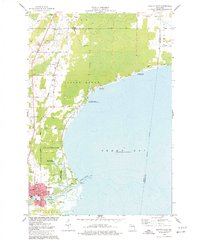 1974 Oconto East1977 Print · USGSThe Lake Michigan shoreline at Oconto is captured in the mid-seventies, showing the transition from city streets to protected marshlands. Researchers can find old family sites at Garden of Hope Cem and trace the Chicago and North Western rail line.
 - 1974 Map of Oconto West, 1977 Print
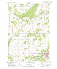 1974 Oconto West1977 Print · USGSOconto and its river systems appear here in the mid-seventies, showing the city's growth and its surrounding rural townships. Genealogists can locate family landmarks like Evergreen Cem and Maple Grove School or trace the Chicago and North Western rail line.
 - 1981 Map of Marinette, 1982 Print
 1981 Marinette1982 Print · USGSThe Menominee River valley and Door County peninsula are captured here in the early 1980s, showcasing the region's timber and maritime foundations. Researchers can trace historic shorelines from Fish Creek to Deathdoor Bluff or locate inland landmarks like Lake Noquebay and Kangaroo Lake.
 - 1982 Map of Harmony, 1983 Print
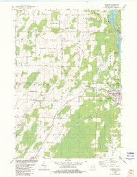 1982 Harmony1983 Print · USGSMarinette County in the early eighties shows a landscape of river-driven industry and quiet rural crossroads. Genealogists and local historians can trace family-named routes like Schonfeldt Lane while locating the St Johns Sch Church and Harmony Cem.
 - 1982 Map of Loomis, 1983 Print
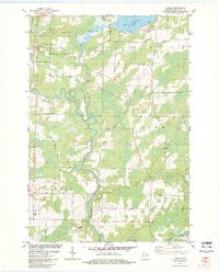 1982 Loomis1983 Print · USGSMarinette County in the early eighties shows a landscape shaped by the Peshtigo River and the legacy of the timber rail lines. Genealogists and local researchers can trace family landmarks like the St Paul Cem and the small settlement of Loomis.
 - 1982 Map of Porterfield SW, 1983 Print
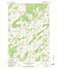 1982 Porterfield SW1983 Print · USGSNortheastern Wisconsin farmland and river valleys are captured here in the early eighties. Genealogists and local historians can trace family-named routes like Seefeldt Ln and Behnke Road or locate the St Matthews Ch and Equity Park.
 - 1982 Map of Porterfield, 1983 Print
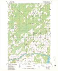 1982 Porterfield1983 Print · USGSMarinette County in the early eighties was a landscape of river-fed lowlands and busy rail corridors. Genealogists and local historians can trace family locations near Porterfield, the St Joseph Cem near Walsh, and the rails at Bagley Junction.
 - 1984 Map of Sturgeon Bay, 1985 Print
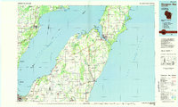 1984 Sturgeon Bay1985 Print · USGSDoor Peninsula and the Kewaunee coast are documented here in the mid-eighties, showing the deep-water harbor at Sturgeon Bay and the rural agricultural interior. Genealogists can trace family roots through crossroads towns like Kolberg, Duvall, and Sugar Bush.2 unique versions available
 - 2010 Map of Harmony, 2010 Print
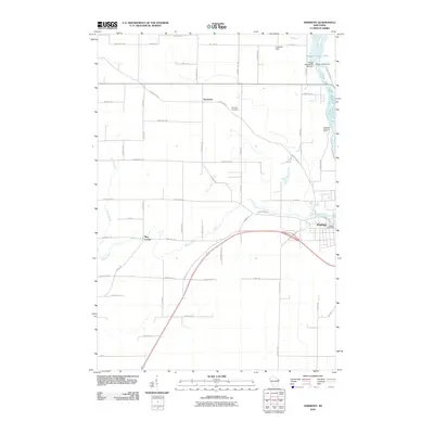 2010 Harmony2010 Print · USGSThe riverfront town of Peshtigo and the outlying farms of Harmony are captured here just after the turn of the millennium. Local historians can trace the industrial footprint of the Potato Rapids Dam or locate family landmarks like Harmony Cemetery and May Corner.
 - 2010 Map of Porterfield, 2010 Print
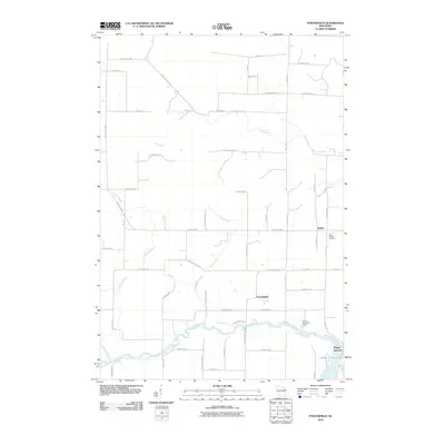 2010 Porterfield2010 Print · USGSWisconsin's rural Marinette County is captured here in the early twenty-first century as a network of farm roads and river valleys. Researchers can trace local heritage through Saint Joseph Cemetery or follow the Peshtigo River to Bagley Junction.
 - 2010 Map of Oconto East, 2010 Print
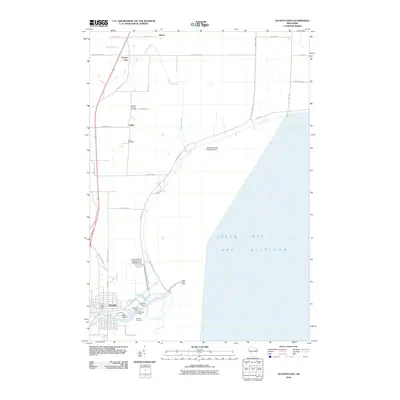 2010 Oconto East2010 Print · USGSCoastal Oconto County comes into focus in this 2010 survey, showing the interface between the Oconto River and Lake Michigan. Genealogists and local historians can locate family burial sites at Garden of Hope Cemetery and explore the working waterfront at the Municipal Wharf.
 - 2010 Map of Oconto West, 2010 Print
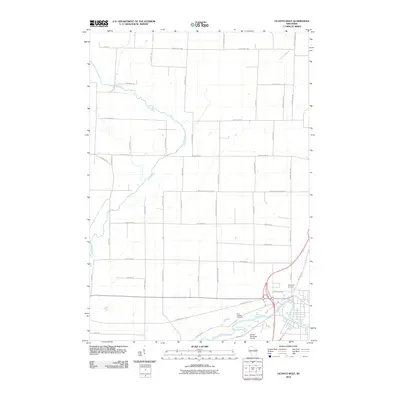 2010 Oconto West2010 Print · USGSThe rural outskirts and western edges of Oconto are shown here as they appeared in 2010. Genealogists and local historians can trace family land along Schmidtill Rd or locate ancestors at Evergreen Cemetery and Saint Josephs Cemetery near the Oconto River.
 - 2010 Map of Loomis, 2010 Print
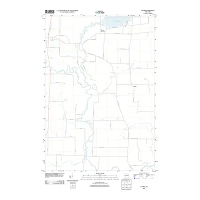 2010 Loomis2010 Print · USGSNear the turn of the millennium, this portion of Marinette County maintains its rural character shaped by the Peshtigo River and the waters of Lake Noquebay. Local historians can trace the development of Loomis and identify property access along Old Hwy 141 and County Hwy-G.
 - 2010 Map of Porterfield SW, 2010 Print
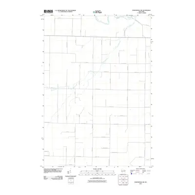 2010 Porterfield SW2010 Print · USGSMarinette County in the early 2000s remains a landscape shaped by its waterways and a structured grid of rural roads. Genealogists and local historians can trace family-named routes and properties near the Little Peshtigo River, Town Hall Rd, and Bundy Creek.
 - 2013 Map of Porterfield, 2013 Print
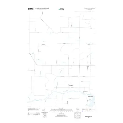 2013 Porterfield2013 Print · USGSMarinette County at the start of the 2010s shows a quiet rural landscape defined by the Peshtigo River and scattered small settlements. Genealogists and local historians can trace family road names and locations like Porterfield, Walsh, and Brown Memorial Camp.
 - 2013 Map of Porterfield SW, 2013 Print
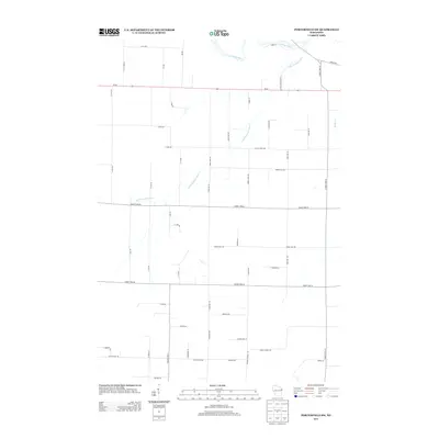 2013 Porterfield SW2013 Print · USGSMarinette County’s rural landscape is captured here in the early twenty-first century, showcasing a network of river-fed woodlands and agriculture. Genealogists and local historians can trace the paths of the Peshtigo River and Little Peshtigo River past long-standing routes like Town Hall Rd.
Showing maps 1-25 of 47
Top cities near Grover
- Marinette historical maps
- Menominee historical maps
- Oconto historical maps
- Peshtigo historical maps
- Peshtigo historical maps
- Porterfield historical maps
See more
Top neighborhoods of Grover
Frequently asked questions
- What are the different types of historical maps available for Grover?
- What is the oldest map of Grover?
- Where can I purchase historical maps of Grover for my home or office?
- Where can I download high-res historical maps of Grover?
- Are there historical topographic maps available for Grover?
- Is there historical aerial imagery available for Grover?
- Where are historical maps of Grover sourced from?