2020s Maps of Oak Creek, Wisconsin
Explore 4 historic maps of Oak Creek from the 2020s. These maps offer a rare glimpse into what life looked like during the 2020s — showing old roads, neighborhoods, homes, and landmarks that have changed or disappeared over time.
Whether you're researching your family's past, planning a metal detecting trip, or studying how Oak Creek's landscape evolved across the 2020s, these high-resolution maps are a powerful tool for exploring the history of this region.
- Focus on a specific era: All maps on this page are from the 2020s, giving you a focused view of this time period.
- See what’s changed: Compare century-old streets, trails, and buildings to today's modern landscape using overlays and satellite layers.
- Research with precision: Use these maps for genealogy, historical research, land use analysis, or educational projects.
- View, download, or print: Maps are fully viewable online in high resolution, and can be downloaded or printed for your own records.
Start exploring Oak Creek's history through authentic maps from the 2020s. This is your window into the past.
Oak Creek, WI maps
(4)- 2022 Map of South Milwaukee, 2022 Print
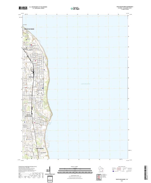 2022 South Milwaukee2022 Print · USGSSouthern Milwaukee County’s lakeshore communities are shown here in the early twenty-first century, spanning the suburbs from Cudahy to Oak Creek. Researchers can trace historic church properties and resting places like the Saint Francis de Sales Seminary, Holy Sepulcher Cem, and the settlement of Carrollville.
 - 2022 Map of Racine North, 2022 Print
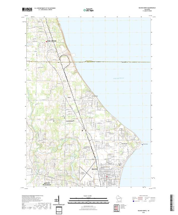 2022 Racine North2022 Print · USGSThe Lake Michigan shoreline and northern Racine suburbs come into focus during this era of late twentieth-century growth. Genealogists and historians can trace the footprints of Bohemian National Cem, Wind Point, and the busy corridors of Caledonia.
 - 2022 Map of Franksville, 2022 Print
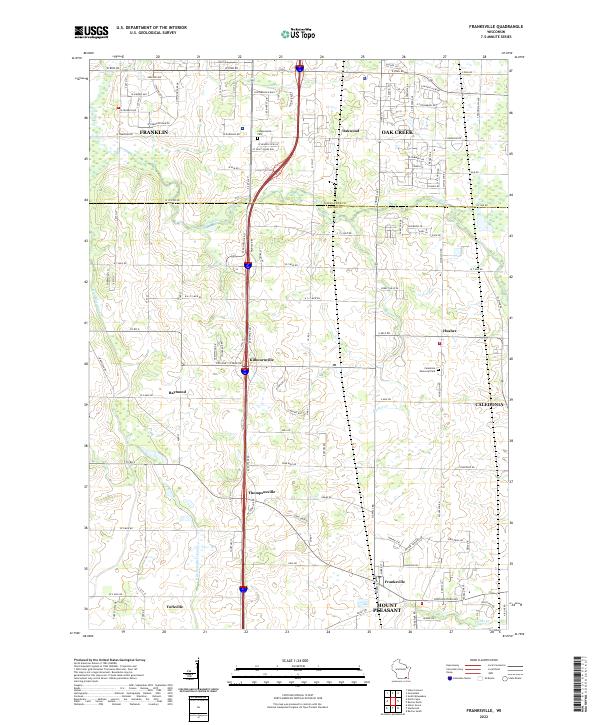 2022 Franksville2022 Print · USGSSoutheastern Wisconsin at the start of the 2020s shows the continued balance between agricultural roots and modern development across the Milwaukee Co Racine Co border. Researchers can map out local genealogy and property history near Franksville, Kilbournville, and the Independent Cem.
 - 2022 Map of Greendale, 2022 Print
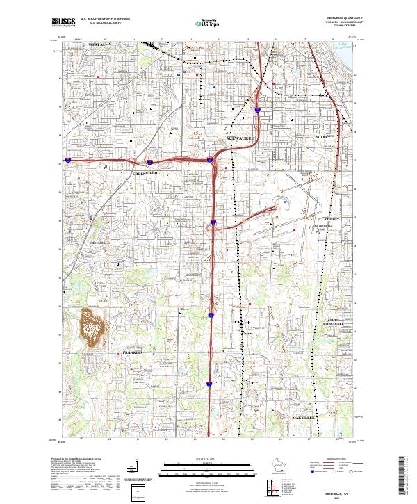 2022 Greendale2022 Print · USGSSouthern Milwaukee County in the early 2020s showcases a mature suburban grid bordered by heavy industry and aviation hubs. Genealogists and local historians can trace legacy sites like Mount Olivet Cem, Alverno College, and the sprawling General Mitchell International Airport.
End of results
Showing maps 1-4 of 4
Top cities near Oak Creek
- Milwaukee historical maps
- Racine historical maps
- West Allis historical maps
- Wauwatosa historical maps
- Brookfield historical maps
- New Berlin historical maps
See more
Top neighborhoods of Oak Creek
- Carrollville historical maps
- Oakwood historical maps
- Parkway Estates historical maps
- Howell Avenue Estates historical maps
- Oak Creek Manor historical maps
- Oakwood Lake Estates historical maps
See more
Frequently asked questions
- What are the different types of historical maps available for Oak Creek?
- What is the oldest map of Oak Creek?
- Where can I purchase historical maps of Oak Creek for my home or office?
- Where can I download high-res historical maps of Oak Creek?
- Are there historical topographic maps available for Oak Creek?
- Is there historical aerial imagery available for Oak Creek?
- Where are historical maps of Oak Creek sourced from?