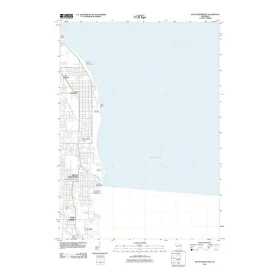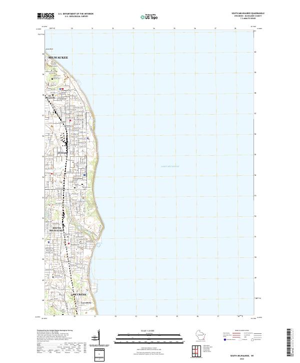
2022 Map of South Milwaukee
USGS Topo · Published 2022About this map
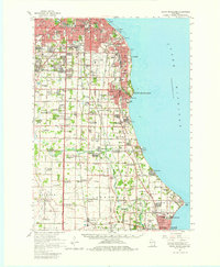
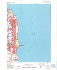
The coastline of Lake Michigan anchors this contemporary study of Milwaukee’s southern suburbs, showing the densely developed corridor from Milwaukee down through St. Francis, Cudahy, and South Milwaukee. The map documents a complex landscape of institutional and civic grounds, notably the Saint Francis de Sales Seminary and its adjacent Saint Francis Seminary Woods Cem. This area preserves a significant concentration of communal and religious history, evidenced by large tracts dedicated to the Agudas Achim Cem and Holy Sepulcher Cem north of College Ave.
Find a feature on this map
118 named features on this map. Tap any name to fly to it.
Don’t see what you’re looking for? This feature index may not catch every label — zoom into the map to look around manually.
Map Details
Editions of this 2022 South Milwaukee Map
This is the sole edition of this map. No revisions or reprints were ever made.
Historical Maps of Milwaukee Through Time
7 maps found