2000s (21st Century) Maps of Wauwatosa, Wisconsin
Explore 10 historic maps of Wauwatosa from the 2000s (21st Century). These maps offer a rare glimpse into what life looked like during the 2000s — showing old roads, neighborhoods, homes, and landmarks that have changed or disappeared over time.
Whether you're researching your family's past, planning a metal detecting trip, or studying how Wauwatosa's landscape evolved across the 2000s, these high-resolution maps are a powerful tool for exploring the history of this region.
- Focus on a specific era: All maps on this page are from the 2000s, giving you a focused view of this time period.
- See what’s changed: Compare century-old streets, trails, and buildings to today's modern landscape using overlays and satellite layers.
- Research with precision: Use these maps for genealogy, historical research, land use analysis, or educational projects.
- View, download, or print: Maps are fully viewable online in high resolution, and can be downloaded or printed for your own records.
Start exploring Wauwatosa's history through authentic maps from the 2000s. This is your window into the past.
Wauwatosa, WI maps
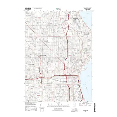
(10)- 2010 Map of Milwaukee, 2010 Print
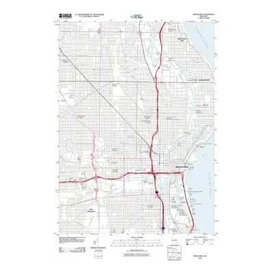 2010 Milwaukee2010 Print · USGSCovers Wauwatosa, including Milwaukee, West Allis, and other nearby areas
 - 2010 Map of Wauwatosa, 2010 Print
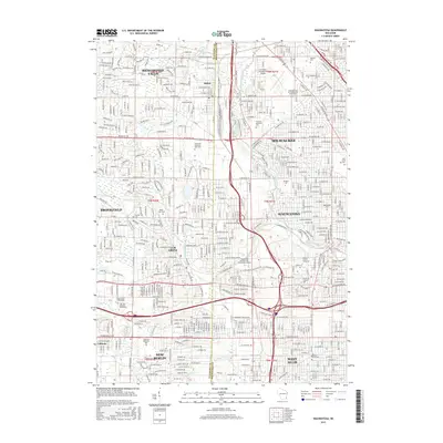
 2010 Wauwatosa2010 Print · USGSCovers Wauwatosa, including Milwaukee, West Allis, and other nearby areas
 - 2013 Map of Wauwatosa, 2013 Print
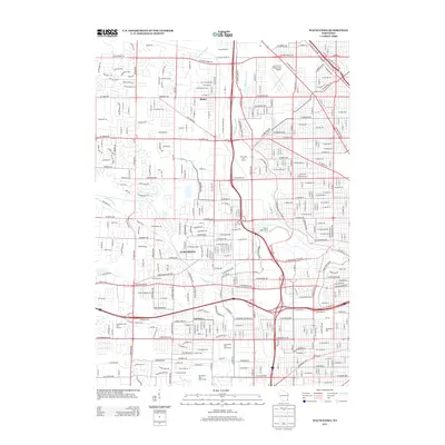 2013 Wauwatosa2013 Print · USGSCovers Wauwatosa, including Milwaukee, West Allis, and other nearby areas
 - 2013 Map of Milwaukee, 2013 Print
 2013 Milwaukee2013 Print · USGSCovers Wauwatosa, including Milwaukee, West Allis, and other nearby areas
 - 2015 Map of Wauwatosa, 2015 Print
 2015 Wauwatosa2015 Print · USGSCovers Wauwatosa, including Milwaukee, West Allis, and other nearby areas
 - 2016 Map of Milwaukee, 2016 Print
 2016 Milwaukee2016 Print · USGSCovers Wauwatosa, including Milwaukee, West Allis, and other nearby areas
 - 2018 Map of Milwaukee, 2018 Print
 2018 Milwaukee2018 Print · USGSCovers Wauwatosa, including Milwaukee, West Allis, and other nearby areas
 - 2018 Map of Wauwatosa, 2018 Print
 2018 Wauwatosa2018 Print · USGSCovers Wauwatosa, including Milwaukee, West Allis, and other nearby areas
 - 2022 Map of Wauwatosa, 2022 Print
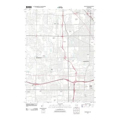
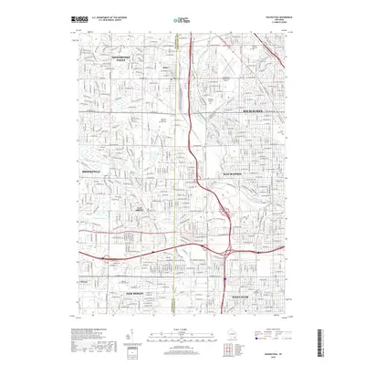
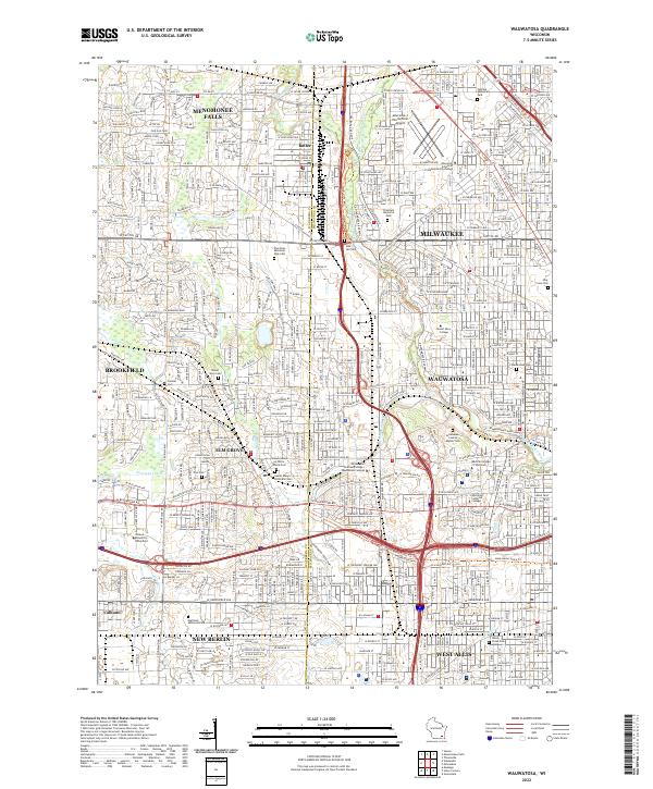 2022 Wauwatosa2022 Print · USGSWauwatosa and its western suburbs are documented in this recent survey as the urban fabric reaches full maturity. Genealogists and historians can trace institutional sites like Wauwatosa Cem, the Medical College of Wisconsin, and the Lawrence J Timmerman Airport.
 - 2022 Map of Milwaukee, 2022 Print
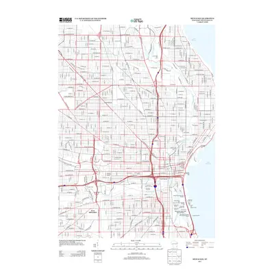
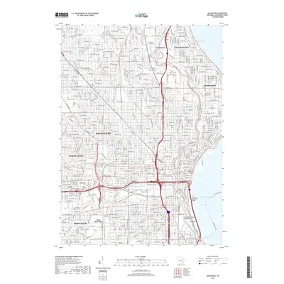
 2022 Milwaukee2022 Print · USGSGreater Milwaukee at the start of the 2020s reveals a cityscape defined by its historic river confluences and sprawling industrial heritage. Researchers can trace family sites near Forest Home Cem, explore the maritime infrastructure of Jones Island, or locate campus landmarks at Marquette University.
End of results
Showing maps 1-10 of 10
Top cities near Wauwatosa
- Milwaukee historical maps
- Waukesha historical maps
- West Allis historical maps
- Brookfield historical maps
- New Berlin historical maps
- Franklin historical maps
See more
Top neighborhoods of Wauwatosa
- Wellauer Heights historical maps
- Ludington Commons historical maps
- Mayfair Park historical maps
- Pasadena historical maps
- Glennview Heights historical maps
- Glenview Heights historical maps
See more
Frequently asked questions
- What are the different types of historical maps available for Wauwatosa?
- What is the oldest map of Wauwatosa?
- Where can I purchase historical maps of Wauwatosa for my home or office?
- Where can I download high-res historical maps of Wauwatosa?
- Are there historical topographic maps available for Wauwatosa?
- Is there historical aerial imagery available for Wauwatosa?
- Where are historical maps of Wauwatosa sourced from?