Old Maps of Whitefish Bay, Wisconsin for Metal Detecting
Plan your next treasure hunt with 19 historic maps of Whitefish Bay. Find old homesites, ghost towns, trails, and gathering spots that may be lost to time — perfect for identifying promising metal detecting locations.
- Locate forgotten sites: Uncover places like long-lost settlements, abandoned rail lines, or gathering spots.
- Plan better hunts: Use map overlays combined with LiDAR or satellite views to narrow in on historically rich areas.
- Made for detectorists: Thousands of hobbyists use these maps to discover relics, coins, and hidden history.
Use these historic maps to boost your research and find new opportunities beneath the surface of Whitefish Bay.
Whitefish Bay, WI maps
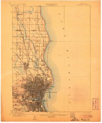
(19)- 1892 Map of Milwaukee
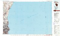
 1892 Milwaukee1892 Print · USGSWisconsin’s industrial heartland is documented here during a period of rapid rail expansion and urban growth along the western shore of Lake Michigan. Genealogists and historians can trace the early rail junctions and settlements such as Schwartzburg Junction, Mequon Sta., and Thiensville.2 unique versions available
 - 1901 Map of Milwaukee
 1901 Milwaukee1901 Print · USGSThe Milwaukee lakefront and surrounding townships are shown here as a burgeoning industrial and rail corridor at the start of the 1900s. Trace early property and rail development at Whitefish Bay, Wauwatosa, and the defunct Dillman Sta. depot.
 - 1906 Map of Milwaukee
 1906 Milwaukee1906 Print · USGSThe Milwaukee lakefront and its surrounding townships show the height of early twentieth-century rail and river development. Researchers can trace ancestral property near National Home or locate vanished stops along the Lake Shore Line and Chicago Milwaukee and St Paul RR.4 unique versions available
 - 1954 Map of Milwaukee, 1967 Print
 1954 Milwaukee1967 Print · USGSCoastal life and maritime commerce across Lake Michigan are seen here during the mid-fifties, bridging Wisconsin's industrial hubs and Michigan's timberlands. Genealogists and historians can trace the rail lines of the Grand Trunk Western and find long-established ports like Ludington, Port Washington, and Muskegon.3 unique versions available
 - 1958 Map of Milwaukee
 1958 Milwaukee1958 Print · USGSThe shorelines of Lake Michigan in the late fifties reveal a landscape of bustling ferry ports and growing industrial suburbs. Genealogists and historians can trace rail networks like the Chesapeake & Ohio and locate landmarks such as Little Sable Point and Holy Cross Church.
 - 1958 Map of Milwaukee, 1960 Print
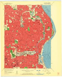 1958 Milwaukee1960 Print · USGSMid-century Milwaukee is a landscape of dense neighborhoods, massive rail yards, and industrial lakefronts during its peak urban era. Genealogists and historians can trace the city's growth through dozens of parochial schools like St Marys Sch and large burial grounds including Wanderers Rest Cemetery and Forest Home Cemetery.3 unique versions available
 - 1958 Map of Milwaukee, 1960 Print
 1958 Milwaukee1960 Print · USGSGreater Milwaukee and the Ozaukee County border appear here at the end of the fifties, when the city’s residential and academic core was firmly established. Genealogists can locate family-named institutions like St Rose Sch & Ch, trace the lakefront in Whitefish Bay, and find old rail lines such as the Chicago and North Western.3 unique versions available
 - 1958 Map of Thiensville, 1960 Print
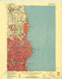
 1958 Thiensville1960 Print · USGSThe northern Milwaukee suburbs and Lake Michigan shoreline are captured here during a mid-century period of rapid expansion. Trace the development of local neighborhoods and find landmarks like Graceland Cemetery, Granville High Sch, and the U S Military Reservations.4 unique versions available
 - 1980 Map of Milwaukee, 1981 Print
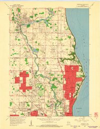
 1980 Milwaukee1981 Print · USGSThe Lake Michigan shoreline and Milwaukee's urban sprawl are captured here at the start of the 1980s. Local researchers can trace family landmarks like Graceland Cemetery, educational sites like Milwaukee-Downer College, and the northern rail lines of the Chicago and North Western.
 - 2010 Map of Milwaukee, 2010 Print
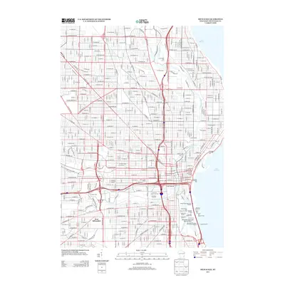
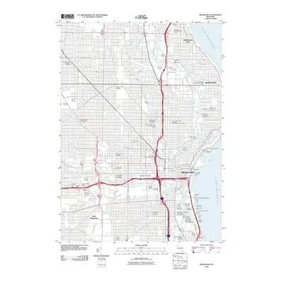 2010 Milwaukee2010 Print · USGSCovers Whitefish Bay, including Milwaukee, West Allis, and other nearby areas
 - 2010 Map of Thiensville, 2010 Print
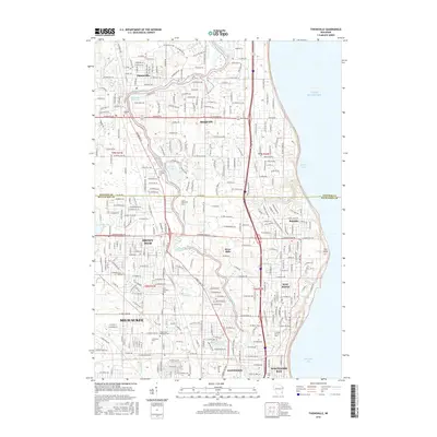
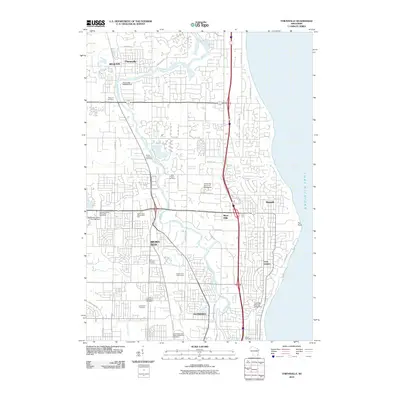 2010 Thiensville2010 Print · USGSCovers Whitefish Bay, including Milwaukee, Mequon, and other nearby areas
 - 2013 Map of Thiensville, 2013 Print
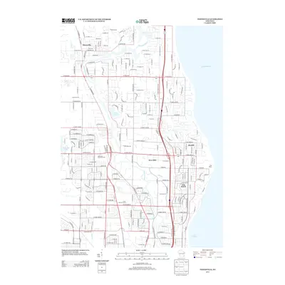 2013 Thiensville2013 Print · USGSCovers Whitefish Bay, including Milwaukee, Mequon, and other nearby areas
 - 2013 Map of Milwaukee, 2013 Print
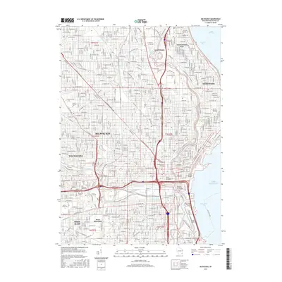
 2013 Milwaukee2013 Print · USGSCovers Whitefish Bay, including Milwaukee, West Allis, and other nearby areas
 - 2016 Map of Thiensville, 2016 Print
 2016 Thiensville2016 Print · USGSCovers Whitefish Bay, including Milwaukee, Mequon, and other nearby areas
 - 2016 Map of Milwaukee, 2016 Print
 2016 Milwaukee2016 Print · USGSCovers Whitefish Bay, including Milwaukee, West Allis, and other nearby areas
 - 2018 Map of Milwaukee, 2018 Print
 2018 Milwaukee2018 Print · USGSCovers Whitefish Bay, including Milwaukee, West Allis, and other nearby areas
 - 2018 Map of Thiensville, 2018 Print
 2018 Thiensville2018 Print · USGSCovers Whitefish Bay, including Milwaukee, Mequon, and other nearby areas
 - 2022 Map of Thiensville, 2022 Print
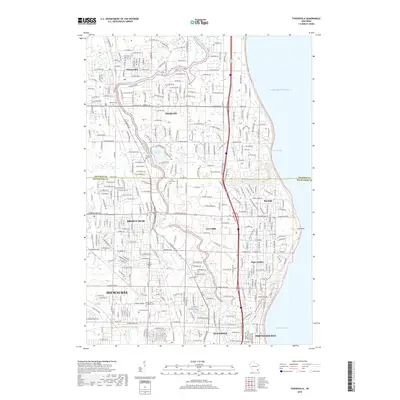
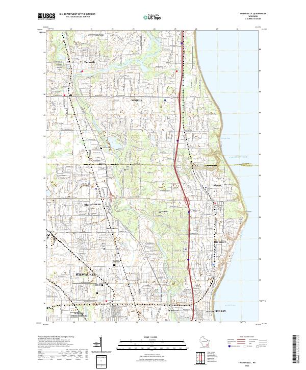 2022 Thiensville2022 Print · USGSThe northern suburbs of Milwaukee and the Lake Michigan shoreline come into focus in this recent topographic study. Researchers can trace family sites at Graceland Cem, Union Cem, and the specialized Fox Point Burial Ground.
 - 2022 Map of Milwaukee, 2022 Print
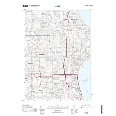
 2022 Milwaukee2022 Print · USGSGreater Milwaukee at the start of the 2020s reveals a cityscape defined by its historic river confluences and sprawling industrial heritage. Researchers can trace family sites near Forest Home Cem, explore the maritime infrastructure of Jones Island, or locate campus landmarks at Marquette University.
End of results
Showing maps 1-19 of 19
Top cities near Whitefish Bay
- Milwaukee historical maps
- West Allis historical maps
- Wauwatosa historical maps
- Brookfield historical maps
- New Berlin historical maps
- Franklin historical maps
See more
Frequently asked questions
- What are the different types of historical maps available for Whitefish Bay?
- What is the oldest map of Whitefish Bay?
- Where can I purchase historical maps of Whitefish Bay for my home or office?
- Where can I download high-res historical maps of Whitefish Bay?
- Are there historical topographic maps available for Whitefish Bay?
- Is there historical aerial imagery available for Whitefish Bay?
- Where are historical maps of Whitefish Bay sourced from?