2010s Maps of Byron, Wisconsin
Explore 16 historic maps of Byron from the 2010s. These maps offer a rare glimpse into what life looked like during the 2010s — showing old roads, neighborhoods, homes, and landmarks that have changed or disappeared over time.
Whether you're researching your family's past, planning a metal detecting trip, or studying how Byron's landscape evolved across the 2010s, these high-resolution maps are a powerful tool for exploring the history of this region.
- Focus on a specific era: All maps on this page are from the 2010s, giving you a focused view of this time period.
- See what’s changed: Compare century-old streets, trails, and buildings to today's modern landscape using overlays and satellite layers.
- Research with precision: Use these maps for genealogy, historical research, land use analysis, or educational projects.
- View, download, or print: Maps are fully viewable online in high resolution, and can be downloaded or printed for your own records.
Start exploring Byron's history through authentic maps from the 2010s. This is your window into the past.
Byron, WI maps
(16)- 2010 Map of Shennington, 2010 Print
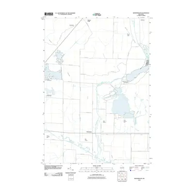 2010 Shennington2010 Print · USGSWisconsin’s central sand plains come into focus in this late-aughts survey of Juneau County. Local researchers can trace the rural infrastructure of Shennington, from the Norway Ridge Lookout Tower to family-named sites like Saint Peters Cemetery.
 - 2010 Map of Wyeville, 2010 Print
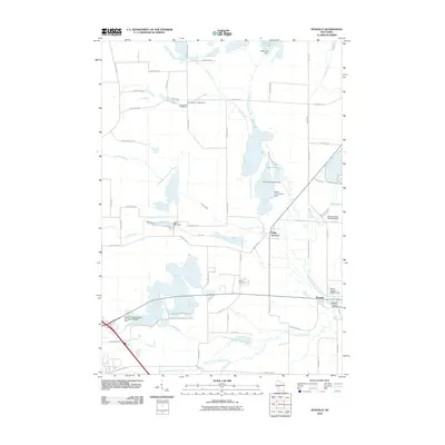 2010 Wyeville2010 Print · USGSMonroe County's water-managed landscapes come into focus here as the two forks of the Lemonweir River meet. Genealogists and local historians can trace burial sites at Dannavang Cemetery and Wood Cemetery or examine early industrial footprints like the Water Mill Dam.
 - 2010 Map of Oakdale, 2010 Print
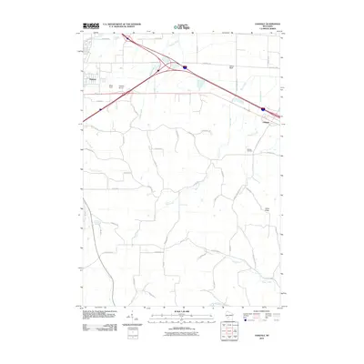 2010 Oakdale2010 Print · USGSMonroe County is captured here in the early twenty-first century, showing the meeting of major transit corridors and rural waterways. Genealogists and local historians can trace landmarks like Oakdale Cemetery, Bloyer Field, and the distinctive Camels Hump.
 - 2010 Map of Camp Douglas, 2010 Print
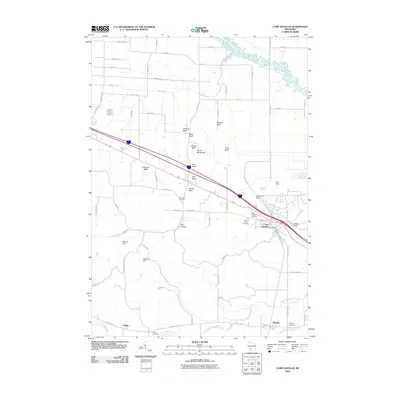 2010 Camp Douglas2010 Print · USGSCamp Douglas and the surrounding bluffs of Monroe County are shown here at the start of the 2010s. Local historians and genealogists can locate Volk Field, Sorenson Cemetery, and the sandstone formations at Devils Monument and Castle Rock.
 - 2013 Map of Camp Douglas, 2013 Print
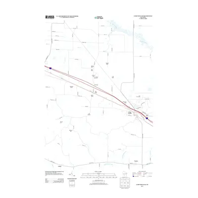 2013 Camp Douglas2013 Print · USGSMonroe County settlement and transport patterns are captured here in the early twenty-first century. Researchers can trace the layout of Camp Douglas and Hustler or locate geological landmarks like Devils Monument and Mill Bluff.
 - 2013 Map of Oakdale, 2013 Print
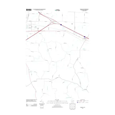 2013 Oakdale2013 Print · USGSMonroe County is depicted here in the early twenty-first century, showing the intersection of interstate travel and rural geography. Researchers can trace land features like Stone Bluff, identify the location of Bloyer Field Airport, or follow the course of the Kickapoo River.
 - 2013 Map of Shennington, 2013 Print
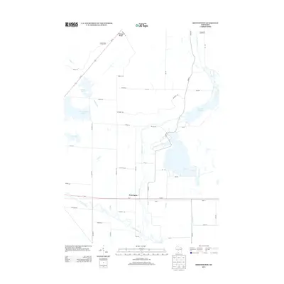 2013 Shennington2013 Print · USGSShennington and the surrounding Juneau County wetlands are captured here in the early twenty-first century, showcasing a landscape defined by water management. Genealogists and local historians can trace family roots near Shennington or locate the Norway Ridge Lookout Tower and Campground Number Four.
 - 2013 Map of Wyeville, 2013 Print
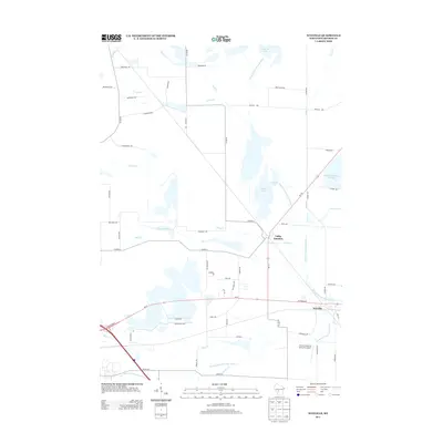 2013 Wyeville2013 Print · USGSMonroe County’s wetland landscape comes into focus during the early twenty-first century, centered on the river forks and small crossroads communities. Genealogists and local historians can trace the developments around Valley Junction and Wyeville, or locate sites like Water Mill Pond and the Prehn Cranberry Company Airport.
 - 2015 Map of Wyeville, 2015 Print
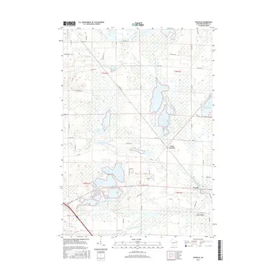 2015 Wyeville2015 Print · USGSThe crossroads of Valley Junction and Wyeville are captured here in the mid-2010s, showing a landscape defined by the forks of the Lemonweir River. Researchers can trace local history at Dannavang Cemetery or locate the Prehn Cranberry Company Airport.
 - 2015 Map of Shennington, 2015 Print
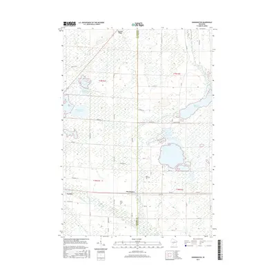 2015 Shennington2015 Print · USGSThe rural border of Monroe and Juneau counties is documented here in the mid-2010s, showing a landscape defined by significant flowages and drainage networks. Local researchers can trace the history of Shennington and Wyeville while locating Saint Johns Cem and the Monroe County Flowage.
 - 2016 Map of Camp Douglas, 2016 Print
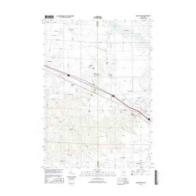 2016 Camp Douglas2016 Print · USGSThe Monroe and Juneau county line comes alive in the mid-2010s, showing a landscape of striking bluffs and military aviation. Trace local history through the sites of Volk Field, Sorenson Cem, and the prominent sandstone spires of Devils Monument.
 - 2016 Map of Oakdale, 2016 Print
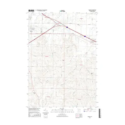 2016 Oakdale2016 Print · USGSMonroe County at the height of the mid-2010s shows a landscape of deep valleys and rising bluffs between the city and the countryside. Researchers can trace family roots at the Oakdale Cem or explore the drainage of the Kickapoo River near Stone Bluff and Camels Hump.
 - 2018 Map of Oakdale, 2018 Print
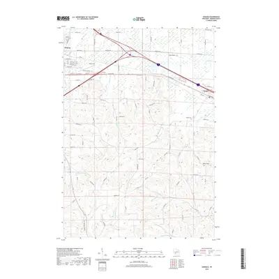 2018 Oakdale2018 Print · USGSMonroe County's driftless-style terrain comes alive in the late 2010s, centered on the village of Oakdale and the eastern edge of Tomah. Genealogists and historians can trace the hills around Oakdale Cem or follow the headwaters of the Kickapoo River.
 - 2018 Map of Camp Douglas, 2018 Print
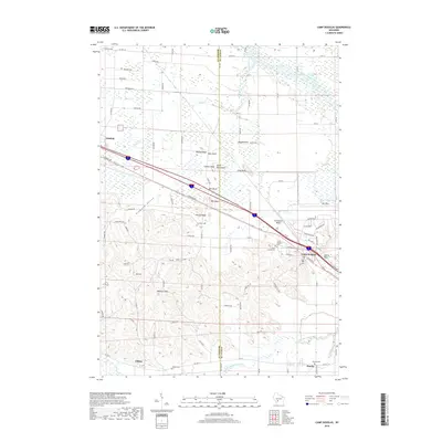 2018 Camp Douglas2018 Print · USGSThe Driftless Area of Juneau and Monroe Counties is showcased here in the late 2010s, where dramatic sandstone bluffs rise above the Lemonweir River. Researchers can trace local genealogy and land use near Camp Douglas, identifying family landmarks like Sorenson Cem and the military grounds of Volk Field.
 - 2018 Map of Wyeville, 2018 Print
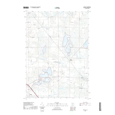 2018 Wyeville2018 Print · USGSMonroe County's cranberry country and river valleys are documented here in the late 2010s. Genealogists and local historians can trace old family plots at Dannavang Cem and Wood Cem or locate industrial sites like the Prehn Cranberry Company Airport.
 - 2018 Map of Shennington, 2018 Print
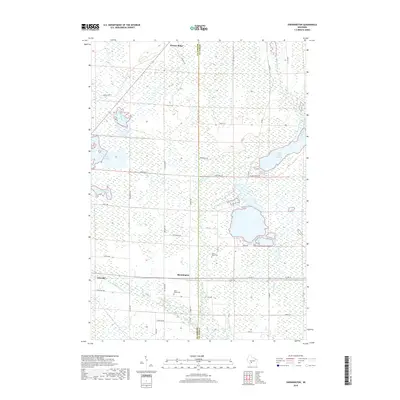 2018 Shennington2018 Print · USGSWisconsin’s central wetlands are captured here in the late 2010s, showcasing a landscape of managed flowages and quiet rural outposts. Trace the courses of the Lemonweir River and Council Creek or locate family sites at Saint Johns Cem and Shennington.
End of results
Showing maps 1-16 of 16
Top cities near Byron
- Tomah historical maps
- New Lisbon historical maps
- Lindina historical maps
- Clifton historical maps
- Camp Douglas historical maps
- Wilton historical maps
See more
Top neighborhoods of Byron
Frequently asked questions
- What are the different types of historical maps available for Byron?
- What is the oldest map of Byron?
- Where can I purchase historical maps of Byron for my home or office?
- Where can I download high-res historical maps of Byron?
- Are there historical topographic maps available for Byron?
- Is there historical aerial imagery available for Byron?
- Where are historical maps of Byron sourced from?