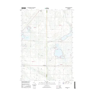
2015 Map of Shennington
USGS Topo · Published 2015About this map
Shennington and Wyeville anchor this landscape along the border of Monroe and Juneau counties, where a complex network of wetlands and man-made water management defines the terrain. The central and northern portions of the map are characterized by extensive marshlands, including the Monroe County Flowage, Dandy Cr Flowage, and Eagle Nest Flowage. These water bodies, along with the Lemonweir River in the southwest, illustrate the region's reliance on drainage and flowage systems, further evidenced by named features like Mud Ditch and Cutler Ditch.
Find a feature on this map
44 named features on this map. Tap any name to fly to it.
Don’t see what you’re looking for? This feature index may not catch every label — zoom into the map to look around manually.
Map Details
Editions of this 2015 Shennington Map
This is the sole edition of this map. No revisions or reprints were ever made.
Other maps of this area

1919 · Kendall
USGS Topo · 1:62,500

1921 · Mauston
USGS Topo · 1:62,500

1921 · Kendall
USGS Topo · 1:62,500

1953 · Eau Claire
USGS Topo · 1:250,000

1958 · Eau Claire
USGS Topo · 1:250,000

1958 · Necedah
USGS Topo · 1:48,000

1958 · Wyeville
USGS Topo · 1:48,000

1958 · La Crosse
USGS Topo · 1:250,000

1961 · La Crosse
USGS Topo · 1:250,000

1962 · Kendall
USGS Topo · 1:62,500