Old Maps of Mountain, Wisconsin for Academic Research
Study the evolution of Mountain with 42 high-resolution historic maps. Whether you're teaching, researching, or modeling changes in land use, these maps provide essential visual documentation of urban, environmental, and geographic change.
- Analyze long-term change: Track patterns in development, transportation, and natural features.
- Ideal for environmental or urban studies: Support academic projects with primary historical map data.
- Use in the classroom or lab: Educators and researchers rely on these maps to bring historical context to life.
These maps are a powerful tool for teaching, research, and visualizing how Mountain has changed over the decades.
Mountain, WI maps
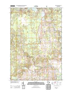
(42)- 1942 Map of Breed
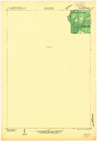 1942 Breed1942 Print · USGSMarinette and Oconto counties appear here in the early 1940s, showing a mix of established survey lines and wilder interior lands. Local researchers can trace the early courses of Peshtigo Brook and the West Branch through the township of Stephenson.
 - 1952 Map of Langlade, 1955 Print
 1952 Langlade1955 Print · USGSThe Menominee Indian Reservation and Nicolet National Forest meet in this mid-century survey of northern Wisconsin. Trace local history through the Markton PO, the Gardner Dam Boy Scout Camps, and fire-watch sites like the Boulder Lake Lookout Tower.2 unique versions available
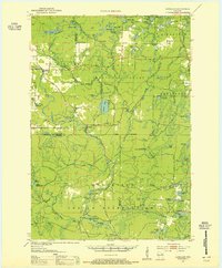
 - 1952 Map of Mountain, 1955 Print
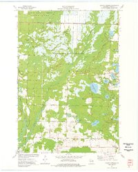
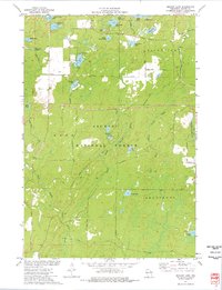
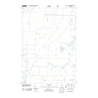
 1952 Mountain1955 Print · USGSOconto County in the early fifties shows a patchwork of timberland and early farmsteads connected by the North Western railroad. Trace family sites at Breed and Frostville, or locate rural landmarks like the Breed Cemetery and Mountain Lookout Tower.2 unique versions available
 - 1954 Map of Iron Mountain, 1964 Print
 1954 Iron Mountain1964 Print · USGSUpper Michigan and Northeastern Wisconsin are shown in detail during the mid-fifties, when the logging and mining economies still moved by rail. Trace the rail lines of the Soo Line to remote stops like Koepenick Station or explore the Iron Range near Iron Mountain.2 unique versions available
 - 1959 Map of Iron Mountain
 1959 Iron Mountain1959 Print · USGSThe northwoods of Wisconsin and the Michigan border are captured here in the mid-fifties, showing a landscape defined by timber, water, and rail. Researchers can trace historic junctions like Hiles Junction, the expansive Nicolet National Forest, and lakefront settlements from Rhinelander to Tomahawk.2 unique versions available
 - 1973 Map of Mountain
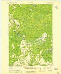
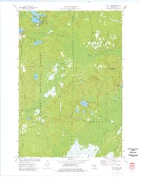
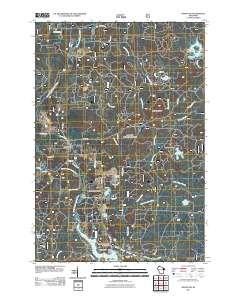
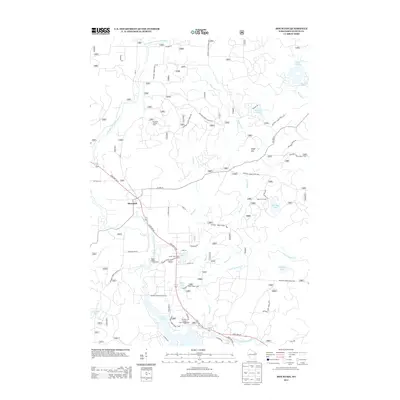
 1973 Mountain1973 Print · USGSMountain and the surrounding Oconto River valley are shown in the early seventies as a hub for timber and recreation. Trace the development of Chute Pond, locate the St Michael Chapel, and explore landmarks like Bowman Airport.3 unique versions available
 - 1973 Map of Hickory Corners, 1977 Print
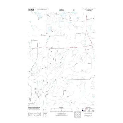
 1973 Hickory Corners1977 Print · USGSOconto County in the early seventies reveals a landscape of dense wetlands and forest edge settlements. Genealogists and historians can trace family locations near Hickory Corners, Frostville, and the Hickory Cem, or locate landmarks like the Bagley Lookout Tower.
 - 1973 Map of Shay Lake, 1977 Print
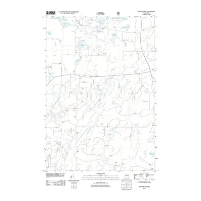
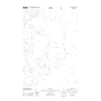
 1973 Shay Lake1977 Print · USGSThe Northwoods of Oconto County are shown here in the 1970s, revealing a landscape defined by timber, glacial lakes, and the Nicolet National Forest. Researchers can trace old logging routes and rural landmarks like Butler Rock, St Marys of the Lake Ch, and the remote Landing Strip.
 - 1973 Map of Fredenberg Lake, 1977 Print
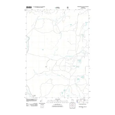
 1973 Fredenberg Lake1977 Print · USGSThe Menominee Indian Reservation and Nicolet National Forest meet in this early 1970s survey of Wisconsin's lake country. Researchers can trace the paths of Pecore Creek and the South Branch Oconto River or locate St Joseph Ch and the La Belle Lookout Tower.
 - 1973 Map of Breed, 1977 Print
 1973 Breed1977 Print · USGSThe Oconto County woodlands were a landscape of managed forests and river wildlife areas in the early 1970s. Local researchers can trace family landmarks and rural infrastructure from the Menominee Indian Reservation to the Union Cem and Piso Landing Strip.
 - 1973 Map of Shadow Lake, 1977 Print
 1973 Shadow Lake1977 Print · USGSOconto County's lake country is captured here in the early seventies, spanning the wooded borders of Doty and Riverview. Researchers can trace old routes like Old Grave Rd and locate landmarks ranging from the Townhall to the shores of Deadman Lake.
 - 1990 Map of Wabeno, 1991 Print
 1990 Wabeno1991 Print · USGSThe Wisconsin Northwoods in the early nineties is a landscape of deep timber, tribal lands, and glacial lakes. Researchers can trace the Chicago and North Western rail line through lumber towns like Wabeno and Townsend or locate the Lakewood State Fish Hatchery.
 - 2011 Map of Shay Lake, 2011 Print
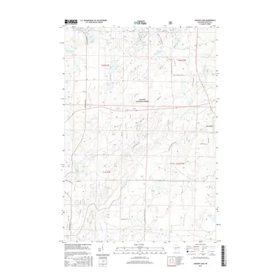
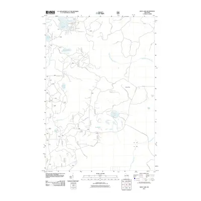 2011 Shay Lake2011 Print · USGSCovers Mountain, including Brazeau, Stephenson, and other nearby areas
 - 2011 Map of Mountain, 2011 Print
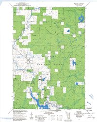
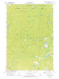
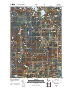
 2011 Mountain2011 Print · USGSCovers Mountain, including Kingston, Riverview, and other nearby areas
 - 2011 Map of Breed, 2011 Print
 2011 Breed2011 Print · USGSCovers Mountain, including Breed, Suring, and other nearby areas
 - 2011 Map of Hickory Corners, 2011 Print
 2011 Hickory Corners2011 Print · USGSCovers Mountain, including Breed, Suring, and other nearby areas
 - 2011 Map of Fredenberg Lake, 2011 Print
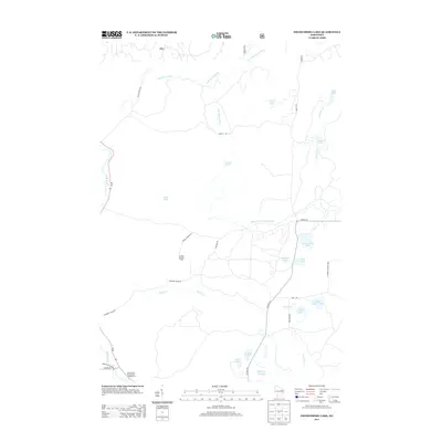
 2011 Fredenberg Lake2011 Print · USGSCovers Mountain, including Doty, Menominee, and other nearby areas
 - 2011 Map of Shadow Lake, 2011 Print
 2011 Shadow Lake2011 Print · USGSCovers Mountain, including Doty, Riverview, and other nearby areas
 - 2013 Map of Fredenberg Lake, 2013 Print
 2013 Fredenberg Lake2013 Print · USGSCovers Mountain, including Doty, Menominee, and other nearby areas
 - 2013 Map of Mountain, 2013 Print
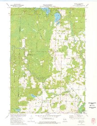
 2013 Mountain2013 Print · USGSCovers Mountain, including Kingston, Riverview, and other nearby areas
 - 2013 Map of Shadow Lake, 2013 Print
 2013 Shadow Lake2013 Print · USGSCovers Mountain, including Doty, Riverview, and other nearby areas
 - 2013 Map of Shay Lake, 2013 Print
 2013 Shay Lake2013 Print · USGSCovers Mountain, including Brazeau, Stephenson, and other nearby areas
 - 2013 Map of Hickory Corners, 2013 Print
 2013 Hickory Corners2013 Print · USGSCovers Mountain, including Breed, Suring, and other nearby areas
 - 2013 Map of Breed, 2013 Print
 2013 Breed2013 Print · USGSCovers Mountain, including Breed, Suring, and other nearby areas
 - 2015 Map of Shadow Lake, 2015 Print
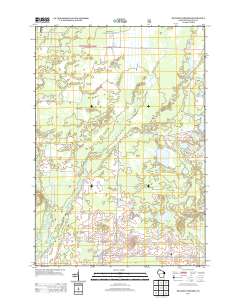
 2015 Shadow Lake2015 Print · USGSCovers Mountain, including Doty, Riverview, and other nearby areas
Showing maps 1-25 of 42
Top cities near Mountain
- Wabeno historical maps
- Townsend historical maps
- Spruce historical maps
- Lakewood historical maps
- Underhill historical maps
- Breed historical maps
See more
Top neighborhoods of Mountain
Frequently asked questions
- What are the different types of historical maps available for Mountain?
- What is the oldest map of Mountain?
- Where can I purchase historical maps of Mountain for my home or office?
- Where can I download high-res historical maps of Mountain?
- Are there historical topographic maps available for Mountain?
- Is there historical aerial imagery available for Mountain?
- Where are historical maps of Mountain sourced from?