2020s Maps of Riverview, Wisconsin
Explore 6 historic maps of Riverview from the 2020s. These maps offer a rare glimpse into what life looked like during the 2020s — showing old roads, neighborhoods, homes, and landmarks that have changed or disappeared over time.
Whether you're researching your family's past, planning a metal detecting trip, or studying how Riverview's landscape evolved across the 2020s, these high-resolution maps are a powerful tool for exploring the history of this region.
- Focus on a specific era: All maps on this page are from the 2020s, giving you a focused view of this time period.
- See what’s changed: Compare century-old streets, trails, and buildings to today's modern landscape using overlays and satellite layers.
- Research with precision: Use these maps for genealogy, historical research, land use analysis, or educational projects.
- View, download, or print: Maps are fully viewable online in high resolution, and can be downloaded or printed for your own records.
Start exploring Riverview's history through authentic maps from the 2020s. This is your window into the past.
Riverview, WI maps
(6)- 2022 Map of Shay Lake, 2022 Print
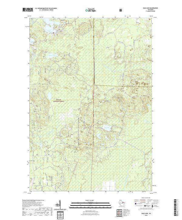 2022 Shay Lake2022 Print · USGSWisconsin's Northwoods are captured here in the early twenty-first century, showing the dense timber and glacial basins of the Nicolet National Forest. You can trace the rugged access roads and recreation trails surrounding Shay Lake, Butler Rock, and the remote banks of W Br Peshtigo Brook.
 - 2022 Map of Wheeler Lake, 2022 Print
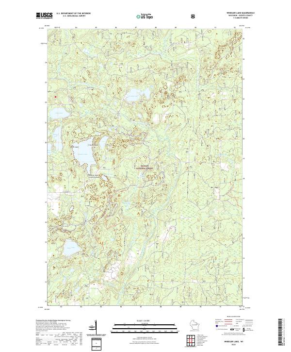 2022 Wheeler Lake2022 Print · USGSOconto County's lake country is captured in this recent survey, showcasing a landscape defined by forest trails and glacial waters. Researchers can trace the shoreline of Wheeler Lake and find landmarks like Deer Island, Hickey Springs, and the McCaslin Brook Hwy Trl.
 - 2022 Map of Shadow Lake, 2022 Print
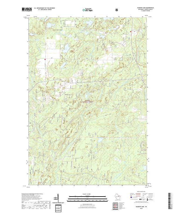 2022 Shadow Lake2022 Print · USGSOconto County's Northwoods are captured here in the early twenty-first century, showing a landscape of forest management and glacial lakes. You can trace historical rural routes like Old Shingle Mill Road and find secluded spots such as Hells Acre Springs and Shadow Lake.
 - 2022 Map of Thunder Mountain, 2022 Print
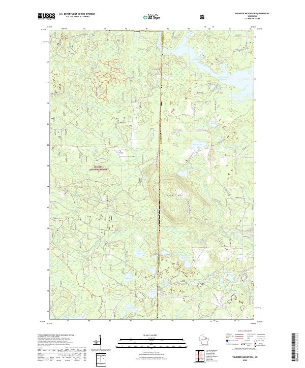 2022 Thunder Mountain2022 Print · USGSThe Northwoods of Oconto and Marinette counties are captured here in the 2020s, showcasing a landscape of timber and glacial water. Outdoor enthusiasts and local historians can trace modern routes like the Pipeline 4x4 Challenge Trl or locate secluded waters such as Wonder Lake and Ledge Lake.
 - 2022 Map of Mountain, 2022 Print
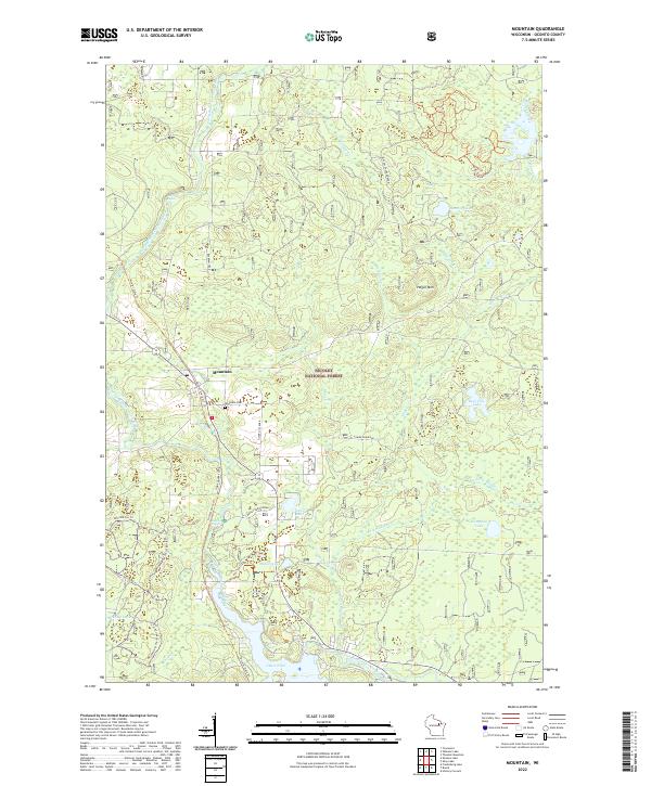 2022 Mountain2022 Print · USGSThe community of Mountain is depicted here deep within the Nicolet National Forest during the early 2020s. Genealogists and outdoor historians can trace local landmarks like the Mountain Cem and follow the route of the Nicolet State Trl past Chute Pond.
 - 2022 Map of Townsend, 2022 Print
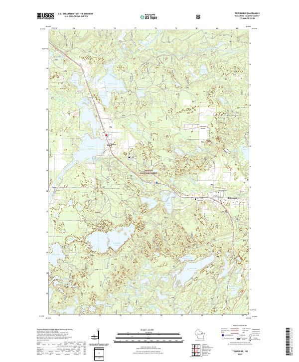 2022 Townsend2022 Print · USGSThe Oconto County northwoods are seen here in recent years, centered on the lakeside communities of Townsend and Lakewood. Researchers can locate several burial grounds, including Forest Home Cem, and trace the path of the Nicolet State Trl through the Nicolet National Forest.
End of results
Showing maps 1-6 of 6
Top cities near Riverview
- Laona historical maps
- Wabeno historical maps
- Townsend historical maps
- Spruce historical maps
- Lakewood historical maps
- Mountain historical maps
See more
Frequently asked questions
- What are the different types of historical maps available for Riverview?
- What is the oldest map of Riverview?
- Where can I purchase historical maps of Riverview for my home or office?
- Where can I download high-res historical maps of Riverview?
- Are there historical topographic maps available for Riverview?
- Is there historical aerial imagery available for Riverview?
- Where are historical maps of Riverview sourced from?