Old Maps of Riverview, Wisconsin for Hiking & Exploration
Hike through history with 47 historic maps of Riverview. Explore old trails, ghost towns, and forgotten backroads — perfect for outdoor adventurers and local explorers.
- Rediscover forgotten places: Map out old mining camps, roads, and footpaths that no longer exist on modern maps.
- Layer with modern tools: Combine with LiDAR or satellite views to plan hikes through historical terrain.
- Made for exploration: Popular among hikers, overlanders, and local history lovers.
Use these maps to find adventure and explore the hidden past of Riverview.
Riverview, WI maps
(47)- 1940 Map of Thunder Mtn.
 1940 Thunder Mtn.1940 Print · USGSMarinette County and the surrounding woods are captured here in the early 1940s as a hub of timber production and forestry management. Genealogists and historians can trace rural schools like Silver Cliff Sch, the site of the State Fish Hatchery, and fire lookouts atop Thunder Mountain.2 unique versions available
 - 1942 Map of Breed
 1942 Breed1942 Print · USGSMarinette and Oconto counties appear here in the early 1940s, showing a mix of established survey lines and wilder interior lands. Local researchers can trace the early courses of Peshtigo Brook and the West Branch through the township of Stephenson.
 - 1942 Map of Wabeno
 1942 Wabeno1942 Print · USGSForest County's timberlands are captured here in the early 1940s, when rail and river still drove the local economy. Researchers can locate vanished rural schools like Rummel Sch, several local cemeteries, and the site of an Abandoned CCC Camp near Otter Lake.
 - 1950 Map of Wabeno
 1950 Wabeno1950 Print · USGSThe Northwoods of Forest County are captured here at mid-century, where logging roots and lake country recreation meet. Genealogists and historians can locate rural schoolhouses like Rummel Sch, explore the Abandoned CCC Camp, or trace the old Logging RR routes.
 - 1951 Map of Wabeno, 1953 Print
 1951 Wabeno1953 Print · USGSThe Northwoods of Forest and Oconto counties are shown in the early fifties as the timber and railway era transitioned into modern recreation. Researchers can locate the logging towns of Soperton and Wabeno, or trace rural life through the Windfall Sch and Forest Hill Cem.3 unique versions available
 - 1951 Map of Thunder Mountain, 1953 Print
 1951 Thunder Mountain1953 Print · USGSMarinette and Oconto counties are shown here in the early 1950s, showcasing a landscape of dense timber and river-driven history. Genealogists and historians can locate the Shady Nook Sch, the Fish Hatchery, and fire-watch posts like the Thunder Mountain Lookout Tower.3 unique versions available
 - 1952 Map of Langlade, 1955 Print
 1952 Langlade1955 Print · USGSThe Menominee Indian Reservation and Nicolet National Forest meet in this mid-century survey of northern Wisconsin. Trace local history through the Markton PO, the Gardner Dam Boy Scout Camps, and fire-watch sites like the Boulder Lake Lookout Tower.2 unique versions available
 - 1952 Map of Mountain, 1955 Print
 1952 Mountain1955 Print · USGSOconto County in the early fifties shows a patchwork of timberland and early farmsteads connected by the North Western railroad. Trace family sites at Breed and Frostville, or locate rural landmarks like the Breed Cemetery and Mountain Lookout Tower.2 unique versions available
 - 1954 Map of Iron Mountain, 1964 Print
 1954 Iron Mountain1964 Print · USGSUpper Michigan and Northeastern Wisconsin are shown in detail during the mid-fifties, when the logging and mining economies still moved by rail. Trace the rail lines of the Soo Line to remote stops like Koepenick Station or explore the Iron Range near Iron Mountain.2 unique versions available
 - 1959 Map of Iron Mountain
 1959 Iron Mountain1959 Print · USGSThe northwoods of Wisconsin and the Michigan border are captured here in the mid-fifties, showing a landscape defined by timber, water, and rail. Researchers can trace historic junctions like Hiles Junction, the expansive Nicolet National Forest, and lakefront settlements from Rhinelander to Tomahawk.2 unique versions available
 - 1972 Map of Wheeler Lake, 1975 Print
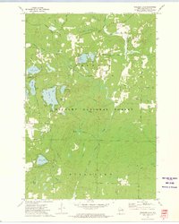 1972 Wheeler Lake1975 Print · USGSOconto County's lake-rich landscape is captured in the early 1970s, showcasing the intricate water systems within the Nicolet National Forest. You can trace an old railroad grade, locate the Lakewood State Fish Hatchery, or find family-named landmarks like Bucks Ranch.
 - 1972 Map of Thunder Mountain, 1975 Print
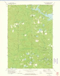 1972 Thunder Mountain1975 Print · USGSThe Marinette and Oconto county line runs through this forested landscape during the 1970s, dominated by the waters of the Peshtigo River. Researchers can trace old forest routes and local landmarks like the Thunder River State Rearing Station and Camp Bird State Youth Recreational Center.2 unique versions available
 - 1972 Map of Townsend, 1975 Print
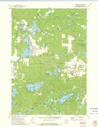 1972 Townsend1975 Print · USGSOconto County's timber and lake country is captured in the early seventies, when the Chicago and North Western railroad still served the northern woods. Trace family history at Forest Home Cem or locate the Archibald Lookout Tower near Townsend and Lakewood.2 unique versions available
 - 1973 Map of Mountain
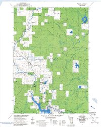 1973 Mountain1973 Print · USGSMountain and the surrounding Oconto River valley are shown in the early seventies as a hub for timber and recreation. Trace the development of Chute Pond, locate the St Michael Chapel, and explore landmarks like Bowman Airport.3 unique versions available
 - 1973 Map of Shay Lake, 1977 Print
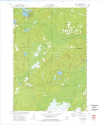 1973 Shay Lake1977 Print · USGSThe Northwoods of Oconto County are shown here in the 1970s, revealing a landscape defined by timber, glacial lakes, and the Nicolet National Forest. Researchers can trace old logging routes and rural landmarks like Butler Rock, St Marys of the Lake Ch, and the remote Landing Strip.
 - 1973 Map of Shadow Lake, 1977 Print
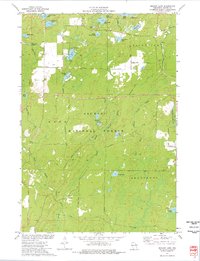 1973 Shadow Lake1977 Print · USGSOconto County's lake country is captured here in the early seventies, spanning the wooded borders of Doty and Riverview. Researchers can trace old routes like Old Grave Rd and locate landmarks ranging from the Townhall to the shores of Deadman Lake.
 - 1990 Map of Wabeno, 1991 Print
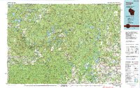 1990 Wabeno1991 Print · USGSThe Wisconsin Northwoods in the early nineties is a landscape of deep timber, tribal lands, and glacial lakes. Researchers can trace the Chicago and North Western rail line through lumber towns like Wabeno and Townsend or locate the Lakewood State Fish Hatchery.
 - 2011 Map of Shay Lake, 2011 Print
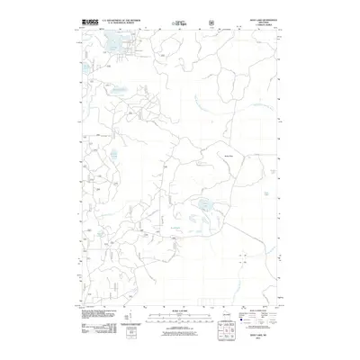 2011 Shay Lake2011 Print · USGSOconto County's lake-strewn forest land is captured here in the early twenty-first century, showing a landscape defined by water and wood. Researchers can trace local names and landmarks like Butler Rock, Shay Lake, and the historic route of Old Highway 64.
 - 2011 Map of Thunder Mountain, 2011 Print
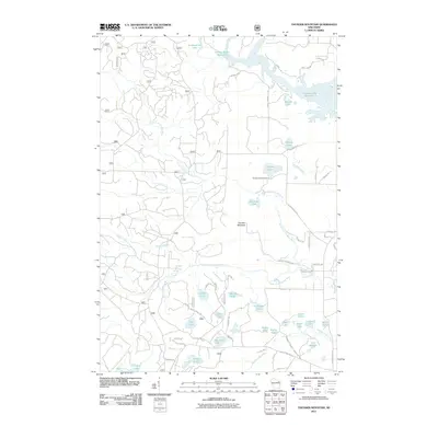 2011 Thunder Mountain2011 Print · USGSNorthwestern Wisconsin’s forested lake country is shown here in the early twenty-first century, centered on the complex waterways of the Thunder River. Researchers can trace the legacy of forest land use through remote landmarks like Thunder Mountain Ranch, Twin Bessies, and the Caldron Falls Reservoir.
 - 2011 Map of Wheeler Lake, 2011 Print
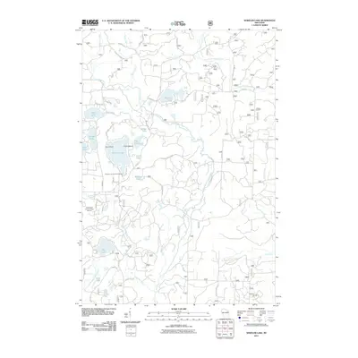 2011 Wheeler Lake2011 Print · USGSWisconsin's lake country in the early twenty-first century is defined here by the dense forests and glaciated waters of Oconto County. Local researchers can trace modern access points to Wheeler Lake, the grounds of the Lakewood Country Club Airport, and the winding North Branch Oconto River.
 - 2011 Map of Mountain, 2011 Print
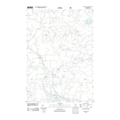 2011 Mountain2011 Print · USGSMountain and the surrounding Oconto County forests are documented here during the early twenty-first century as a hub for river recreation. Researchers can trace the riverfront developments at Chute Pond, the location of Mountain Lookout Tower, and the various sites of the Bagley Rapids Campground.
 - 2011 Map of Townsend, 2011 Print
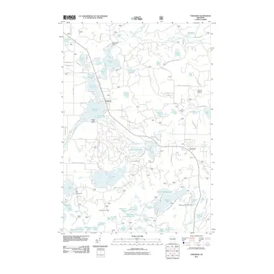 2011 Townsend2011 Print · USGSTownsend and Lakewood are documented during this period of recreational growth in Oconto County. Local historians and genealogists can trace property access near the Archibald Lookout Tower or explore landmarks like the Lakewood State Fish Hatchery and Paul Bunyon Ski Area.
 - 2011 Map of Shadow Lake, 2011 Print
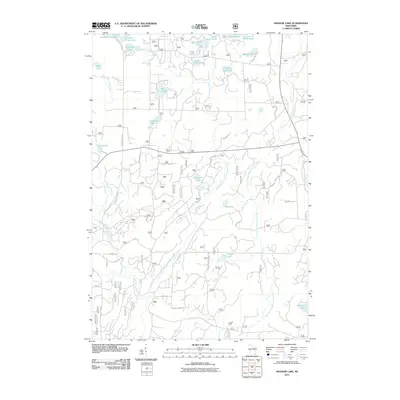 2011 Shadow Lake2011 Print · USGSOconto County's labyrinth of glacial lakes and river forks is documented here in the early twenty-first century. Researchers can trace the winding paths of the Second South Branch Oconto River and locate small waters like Deadman Lake and Camp Four Lake.
 - 2013 Map of Mountain, 2013 Print
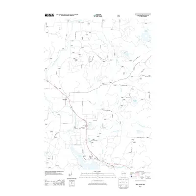 2013 Mountain2013 Print · USGSOconto County in the early twenty-first century reveals a landscape shaped by timber management and river recreation near the village of Mountain. Researchers can trace forest access routes to the Mountain Lookout Tower or locate historic sites like Bear Paw Camp and the Bagley Rapids Campground.
 - 2013 Map of Shadow Lake, 2013 Print
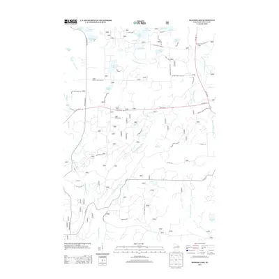 2013 Shadow Lake2013 Print · USGSOconto County's lake country is detailed in this 2013 survey of the forest-and-water landscape north of Mountain. Genealogists and historians can trace the timber and transit heritage of the region via Old Log Siding Ln and the secluded Hells Acre Springs.
Showing maps 1-25 of 47
Top cities near Riverview
- Laona historical maps
- Wabeno historical maps
- Townsend historical maps
- Spruce historical maps
- Lakewood historical maps
- Mountain historical maps
See more
Frequently asked questions
- What are the different types of historical maps available for Riverview?
- What is the oldest map of Riverview?
- Where can I purchase historical maps of Riverview for my home or office?
- Where can I download high-res historical maps of Riverview?
- Are there historical topographic maps available for Riverview?
- Is there historical aerial imagery available for Riverview?
- Where are historical maps of Riverview sourced from?