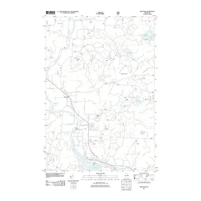
2011 Map of Mountain
USGS Topo · Published 2011About this map
The North Branch Oconto River defines the landscape of this northern Wisconsin quadrangle, flowing south past the settlement of Mountain and feeding into the expansive Chute Pond. The water system is heavily managed for recreation and local utility, evidenced by Grindle Dam at Grindle Lake and Chute Dam at the southern end of the pond. Public access is a prominent theme throughout the area, with numerous sites like the Bagley Rapids Campground and the Oconto County Park Campground flanking the riverbanks, while the Green Lake Picnic Area serves visitors to the smaller interior lakes.
Find a feature on this map
39 named features on this map. Tap any name to fly to it.
Don’t see what you’re looking for? This feature index may not catch every label — zoom into the map to look around manually.
Map Details
Editions of this 2011 Mountain Map
This is the sole edition of this map. No revisions or reprints were ever made.
Other maps of this area

1940 · Thunder Mtn.
USGS Topo · 1:48,000

1942 · Breed
USGS Topo · 1:48,000

1942 · Wabeno
USGS Topo · 1:48,000

1950 · Wabeno
USGS Topo · 1:48,000

1951 · Wabeno
USGS Topo · 1:48,000

1951 · Thunder Mountain
USGS Topo · 1:48,000

1952 · Langlade
USGS Topo · 1:48,000

1952 · Mountain
USGS Topo · 1:48,000

1954 · Iron Mountain
USGS Topo · 1:250,000

1959 · Iron Mountain
USGS Topo · 1:250,000