Old Maps of Woodboro, Wisconsin for Academic Research
Study the evolution of Woodboro with 30 high-resolution historic maps. Whether you're teaching, researching, or modeling changes in land use, these maps provide essential visual documentation of urban, environmental, and geographic change.
- Analyze long-term change: Track patterns in development, transportation, and natural features.
- Ideal for environmental or urban studies: Support academic projects with primary historical map data.
- Use in the classroom or lab: Educators and researchers rely on these maps to bring historical context to life.
These maps are a powerful tool for teaching, research, and visualizing how Woodboro has changed over the decades.
Woodboro, WI maps
(30)- 1939 Map of Cassian, 1946 Print
 1939 Cassian1946 Print · USGSOneida County's Northwoods come into focus in the late thirties, showing a landscape defined by glacial lakes and timber-country rail lines. Genealogists can trace rural life through scattered schoolhouses like Fernwood Sch and Stewart Sch or rail stops at Heafford Junction and Goodnow.4 unique versions available
 - 1942 Map of Cassian
 1942 Cassian1942 Print · USGSOneida County's lake country is seen here in the late 1930s as a hub of rail activity and forestry. Genealogists and researchers can trace rural school sites like Crescent Flats Sch and follow the rail junctions at Heafford Junction and Cassian (Deer Trail Sta).
 - 1954 Map of Iron Mountain, 1964 Print
 1954 Iron Mountain1964 Print · USGSUpper Michigan and Northeastern Wisconsin are shown in detail during the mid-fifties, when the logging and mining economies still moved by rail. Trace the rail lines of the Soo Line to remote stops like Koepenick Station or explore the Iron Range near Iron Mountain.2 unique versions available
 - 1959 Map of Iron Mountain
 1959 Iron Mountain1959 Print · USGSThe northwoods of Wisconsin and the Michigan border are captured here in the mid-fifties, showing a landscape defined by timber, water, and rail. Researchers can trace historic junctions like Hiles Junction, the expansive Nicolet National Forest, and lakefront settlements from Rhinelander to Tomahawk.2 unique versions available
 - 1966 Map of Heafford Junction, 1968 Print
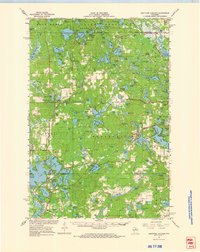 1966 Heafford Junction1968 Print · USGSOneida County's lake-rich timberlands are documented here in the mid-1960s, showing a landscape defined by rail junctions and glacial waters. Genealogists and local historians can locate the Cassian-Woodboro Sch Cem, the old Nekomis Sch, and rail-side stops like Heafford Junction.
 - 1982 Map of Heafford Junction, 1983 Print
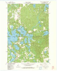 1982 Heafford Junction1983 Print · USGSOneida and Lincoln Counties are defined by a vast network of glacial water in the early eighties. You can trace the railroad history of Heafford Junction and locate local landmarks like Hiawatha Sch and the Inshalla Country Club.
 - 1982 Map of Harshaw, 1983 Print
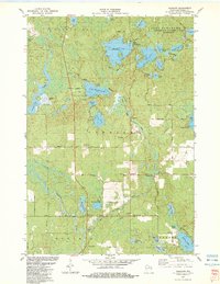 1982 Harshaw1983 Print · USGSOneida County's Northwoods are captured here in the early eighties as former rail corridors began their transition into recreational trails. Discover the locations of the Union Grove Cem, the settlement of Harshaw, and the Cassian-Woodboro Sch.
 - 1982 Map of Woodboro, 1983 Print
 1982 Woodboro1983 Print · USGSOneida County's lakeland landscape is captured here in the early eighties as a hub for Northwoods recreation and settlement. Researchers can trace family history at the Woodboro Cem or locate seasonal landmarks like Ski Lifts and Whirlpool Rapids along the Wisconsin River.
 - 1982 Map of Mc Naughton, 1983 Print
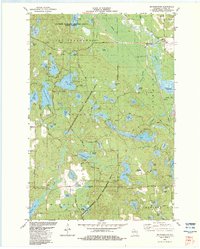 1982 Mc Naughton1983 Print · USGSOneida County's Northwoods landscape is captured here in the early eighties, showcasing a dense network of glacial lakes and state-protected timberlands. Genealogists and local historians can locate McNaughton, trace the Pine Grove Landing Field, and identify family-named sites near Mildred Lake.
 - 1989 Map of Rhinelander, 1990 Print
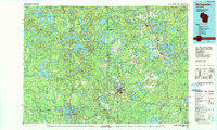 1989 Rhinelander1990 Print · USGSThe Wisconsin Northwoods are captured here in the late eighties, showing a landscape defined by water and timber management. Researchers can trace the Soo Line rail corridors and find local landmarks like Rainbow Flowage, Pelican Lake, and the Rhinelander-Oneida Co Airport.
 - 2010 Map of McNaughton, 2010 Print
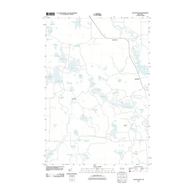 2010 McNaughton2010 Print · USGSThe Wisconsin Northwoods are seen here in the early twenty-first century, a landscape defined by the winding Wisconsin River and dozens of glacial lakes. Local historians can trace the development of McNaughton, the Pine Grove Airport, and the Spruce Lake E1176.2 Dam.
 - 2010 Map of Heafford Junction, 2010 Print
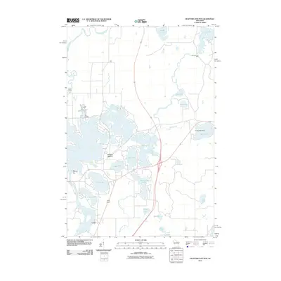 2010 Heafford Junction2010 Print · USGSHeafford Junction and the surrounding Northwoods lake country are captured in detail during the early 2000s. Researchers can trace local history through sites like Prairie Rapids Cemetery, Hancock Lake Dam, and the namesake Heafford Junction rail and road crossing.
 - 2010 Map of Woodboro, 2010 Print
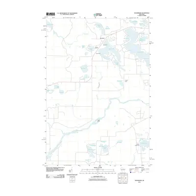 2010 Woodboro2010 Print · USGSLincoln County’s glacial landscape is captured here in the early 21st century, centered on the settlement of Woodboro. Genealogists and historians can locate the Woodboro Cemetery, trace the Wisconsin River, or find landmarks like the Porcupine Lookout Tower.
 - 2010 Map of Harshaw, 2010 Print
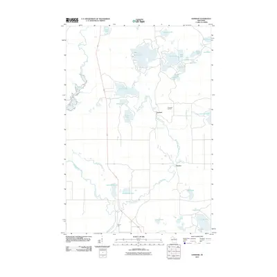 2010 Harshaw2010 Print · USGSOneida County's lake-strewn landscape is captured in the early twenty-first century, showing the intricate waterways near the Tomahawk River. Researchers can trace old connections at McKays Spur and the small settlements of Harshaw and Goodnow.
 - 2013 Map of Woodboro, 2013 Print
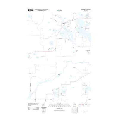 2013 Woodboro2013 Print · USGSWisconsin's lake country around Woodboro is documented here in the early twenty-first century as the landscape's recreational and timber character endures. Local historians can trace the Wisconsin River corridor near Whirlpool Rapids or locate landmarks like the Porcupine Lookout Tower and Woodboro Springs.
 - 2013 Map of Harshaw, 2013 Print
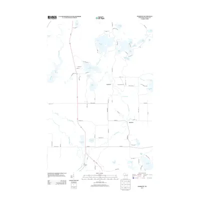 2013 Harshaw2013 Print · USGSOneida County's lake-strewn landscape is captured here in the early twenty-first century, centered on the settlements of Harshaw and Goodnow. Genealogists and researchers can trace local water access and residential pockets like Pinewood Air Park or the vicinity of McKays Spur.
 - 2013 Map of Heafford Junction, 2013 Print
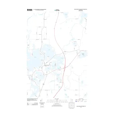 2013 Heafford Junction2013 Print · USGSThe Northwoods landscape around Heafford Junction is shown in detail during the early 21st century, centered on the sprawling waters of Lake Nokomis. Researchers can trace local landmarks like Turner Airport, the shores of Manson Lake, and the path of the Tomahawk River.
 - 2013 Map of McNaughton, 2013 Print
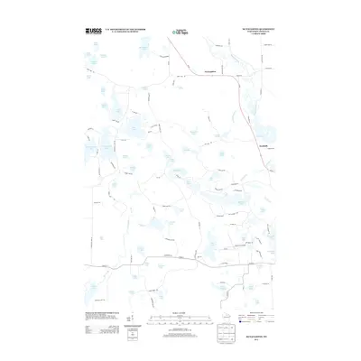 2013 McNaughton2013 Print · USGSOneida County's glacial landscape is defined by the winding Wisconsin River and dozens of named lakes as they appeared in 2013. Local historians can trace the development of McNaughton and Newbold or locate landmarks like Pine Grove Airport and Camp Birch Rock.
 - 2015 Map of Woodboro, 2015 Print
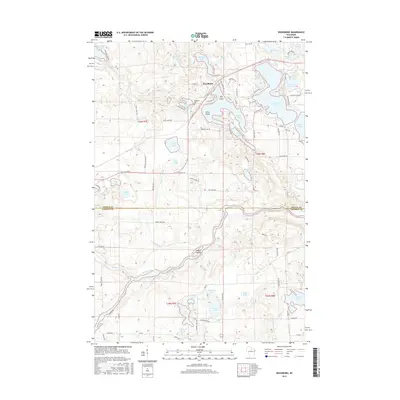 2015 Woodboro2015 Print · USGSThe lake country of Oneida and Lincoln Counties comes into focus in this mid-2010s survey, showing a landscape defined by glacial waters and the Wisconsin River. Local historians can trace the settlement of Woodboro, locate the Woodboro Cemetery, and explore the developed shorelines of Squash Lake and Crescent Lake.
 - 2015 Map of Harshaw, 2015 Print
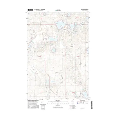 2015 Harshaw2015 Print · USGSOneida County's lake country is captured here in the mid-2010s, showing a landscape defined by glacial waters and small Northwoods settlements. Researchers can locate Union Grove Cem and trace the shorelines of Bearskin Lake and Oneida Lake.
 - 2015 Map of McNaughton, 2015 Print
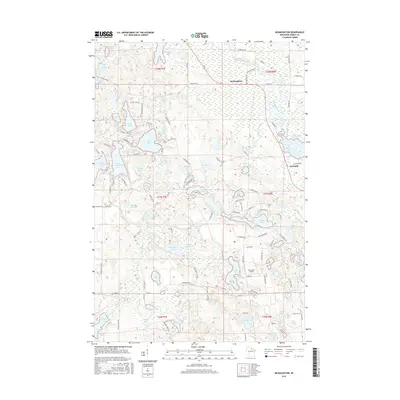 2015 McNaughton2015 Print · USGSOneida County's Northwoods character is on full display in the mid-2010s, centered on the Wisconsin River and the small community of McNaughton. Local researchers can trace numerous glacial lakes and family-named landmarks, from Alva Lake and Bobs Lake to the Pine Grove Airport.
 - 2015 Map of Heafford Junction, 2015 Print
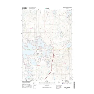 2015 Heafford Junction2015 Print · USGSHeafford Junction sits at the intersection of Oneida and Lincoln counties in this mid-2010s survey of Wisconsin's lake country. Genealogists and local researchers can locate Greenwood Cem, Turner Airport, and the winding banks of the Tomahawk River.
 - 2018 Map of Harshaw, 2018 Print
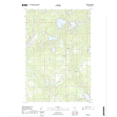 2018 Harshaw2018 Print · USGSOneida County's lakeland landscape is shown here in the late twenty-tens, capturing the settlements of Harshaw and Goodnow among the pines. Researchers can locate Union Grove Cem, the Pinewood Air Park, and numerous named waters like Bearskin Lake.
 - 2018 Map of Heafford Junction, 2018 Print
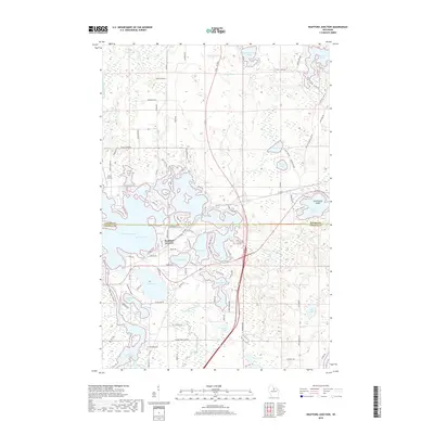 2018 Heafford Junction2018 Print · USGSThe lake country of Lincoln and Oneida Counties is captured here in the late twenty-tens, showing the crossroads of water and woods. Local historians can trace the lakeside developments around Heafford Junction and find landmarks like Greenwood Cem and Turner Airport.
 - 2018 Map of Woodboro, 2018 Print
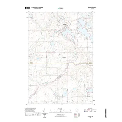 2018 Woodboro2018 Print · USGSOneida and Lincoln counties meet in this lakeside landscape during the late twenty-tens, where the Wisconsin River winds past rural settlements. Researchers can trace local landmarks like Woodboro Cem, the Whirlpool Rapids, and the shoreline developments of Squash Lake.
Showing maps 1-25 of 30
Top cities near Woodboro
- Rhinelander historical maps
- Minocqua historical maps
- Tomahawk historical maps
- Newbold historical maps
- Bradley historical maps
- Sugar Camp historical maps
See more
Frequently asked questions
- What are the different types of historical maps available for Woodboro?
- What is the oldest map of Woodboro?
- Where can I purchase historical maps of Woodboro for my home or office?
- Where can I download high-res historical maps of Woodboro?
- Are there historical topographic maps available for Woodboro?
- Is there historical aerial imagery available for Woodboro?
- Where are historical maps of Woodboro sourced from?