2010s Maps of Polk County, Wisconsin
Explore 124 historic maps of Polk County from the 2010s. These maps offer a rare glimpse into what life looked like during the 2010s — showing old roads, neighborhoods, homes, and landmarks that have changed or disappeared over time.
Whether you're researching your family's past, planning a metal detecting trip, or studying how Polk County's landscape evolved across the 2010s, these high-resolution maps are a powerful tool for exploring the history of this region.
- Focus on a specific era: All maps on this page are from the 2010s, giving you a focused view of this time period.
- See what’s changed: Compare century-old streets, trails, and buildings to today's modern landscape using overlays and satellite layers.
- Research with precision: Use these maps for genealogy, historical research, land use analysis, or educational projects.
- View, download, or print: Maps are fully viewable online in high resolution, and can be downloaded or printed for your own records.
Start exploring Polk County's history through authentic maps from the 2010s. This is your window into the past.
Polk County, WI maps
(124)- 2010 Map of Trade River, 2010 Print
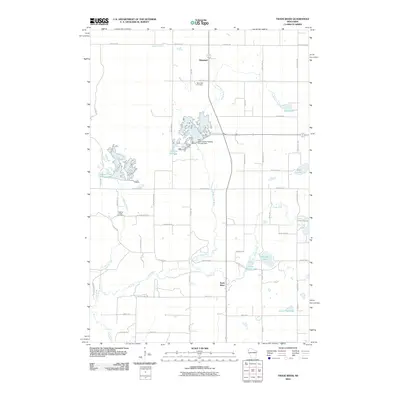 2010 Trade River2010 Print · USGSBurnett County, Wisconsin, is showcased in the late 2000s as a landscape of managed waterways and quiet rural settlements. Genealogists and local historians can trace family ties at Saint Olaf Cemetery or locate old homesteads near Branstad and Trade River.
 - 2010 Map of Deer Park, 2010 Print
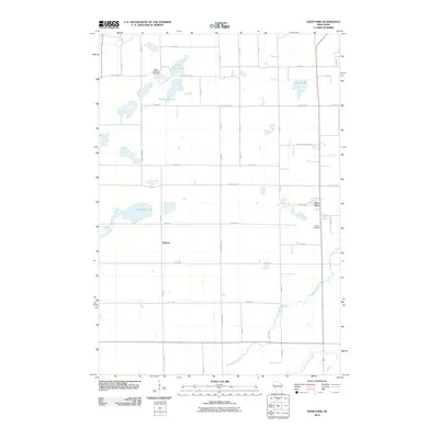 2010 Deer Park2010 Print · USGSSaint Croix County at the start of the 2010s reveals a landscape of quiet lakeside settlements and rural crossroads. Researchers can trace family sites near Wagon Landing Cemetery, explore the environs of Deer Park, or follow the South Fork Willow River through the township.
 - 2010 Map of Amery, 2010 Print
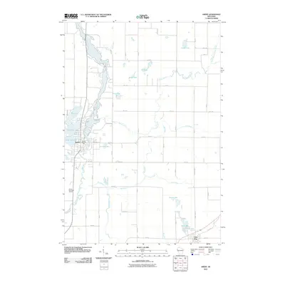 2010 Amery2010 Print · USGSWestern Wisconsin lake country comes into focus in this 2010 survey, centered on the growing community of Amery. Genealogists and local historians can trace the town's layout near the Amery Dam or locate rural homesteads along Apple River and Lincoln Lake.
 - 2010 Map of Range, 2010 Print
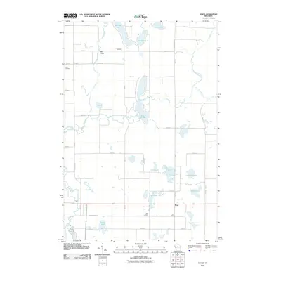 2010 Range2010 Print · USGSPolk County at the start of the 2010s reveals a landscape of interconnected glacial lakes and quiet rural settlements. Researchers can trace local history through named sites like Ridler Dam, Bunyan, and several family-linked burial grounds including Elim Cemetery.
 - 2010 Map of Balsam Lake, 2010 Print
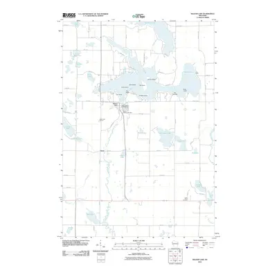 2010 Balsam Lake2010 Print · USGSBalsam Lake and its surrounding wetlands were well-established as a residential and recreation hub by the early 2010s. Local researchers can trace family sites near Lykens, locate the Balsam Lake Cemetery, or study the shoreline at Big Narrows.
 - 2010 Map of Clam Falls, 2010 Print
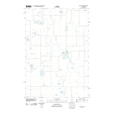 2010 Clam Falls2010 Print · USGSWisconsin's lakeland and river systems are finely detailed in this 2010 survey of Polk County. Genealogists and local historians can locate Lewis Cemetery, the settlement of Coomer, and water management landmarks like Lewis Dam and the Clam Falls Flowage.
 - 2010 Map of Indian Creek, 2010 Print
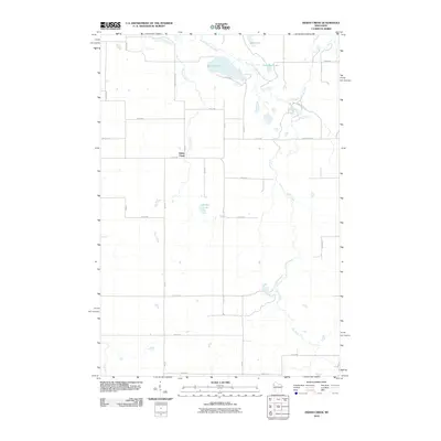 2010 Indian Creek2010 Print · USGSNorthwest Wisconsin's glacial lake country is revealed in the late two-thousands, showing a quiet landscape of rural homesteads and wetlands. Genealogists and locals can trace property lines along County Hwy EE and identify features near Spencer Lake, Denny Lake, and the winding Sand Creek.
 - 2010 Map of McKinley, 2010 Print
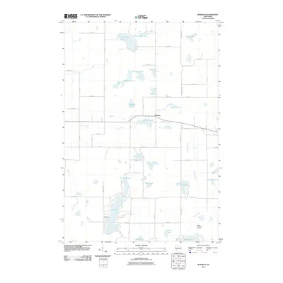 2010 McKinley2010 Print · USGSMcKinley and the surrounding lakelands of Polk County are captured here at the start of the decade. Genealogists and local historians can trace the rural road networks and lakeside properties near Pipe Lake, Largon Lake, and the small airfield at Morts Landing Airport.
 - 2010 Map of Clayton, 2010 Print
 2010 Clayton2010 Print · USGSClayton and the surrounding Polk and Barron county line are depicted here in the early twenty-first century. Genealogists and local researchers can locate family sites at the Holy Trinity Russian Orthodox Cemetery or trace the geography of Joel, Richardson, and Magnor Lake.
 - 2010 Map of Nye, 2010 Print
 2010 Nye2010 Print · USGSPolk County at the turn of the millennium shows a landscape defined by its glacial lakes and the winding Apple River. Genealogists and local historians can trace family locations near Sand Lake Cemetery, the community of Nye, and the grounds of El Salem Cemetery.
 - 2010 Map of Milltown, 2010 Print
 2010 Milltown2010 Print · USGSPolk County at the start of the decade shows a landscape where the village of Milltown meets a dense network of glacial lakes and rural townships. Trace local family history through Evergreen Cemetery or follow the recreational path of the Gandy Dancer Trl.
 - 2010 Map of Big Round Lake, 2010 Print
 2010 Big Round Lake2010 Print · USGSPolk County at the turn of the decade is defined by its dense collection of glacial basins and rural connectors. Genealogists and hikers can trace the Ice Age Trl as it winds past Big Round Lake or locate family plots at Johnstown Cemetery.
 - 2010 Map of Luck, 2010 Print
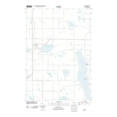 2010 Luck2010 Print · USGSLuck and its surrounding lake country are shown at the start of the 2010s, centered on the historic Gandy Dancer Trl corridor. Genealogists and local historians can locate Saint Peters Cemetery, the Sherwood-Ryan Flowage G4559 Dam, and Bald Eagle Island on Bone Lake.
 - 2010 Map of Turtle Lake, 2010 Print
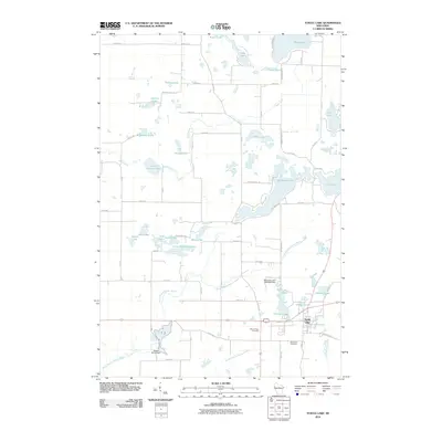 2010 Turtle Lake2010 Print · USGSWisconsin's glacial lake country is mapped here in the early twenty-first century as the village of Turtle Lake anchors a landscape of wetlands and water. Researchers can trace local heritage at Mount Hope Cemetery or follow the legacy of water power at Old Mill Pond and Beaver Brook Dam.
 - 2010 Map of New Richmond North, 2010 Print
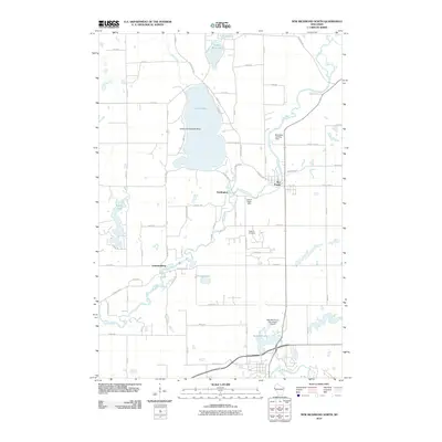 2010 New Richmond North2010 Print · USGSSaint Croix County in the late 2000s shows a unique concentration of aviation sites along the Apple River corridor. Genealogists and local historians can locate Oakland Cemetery, the community of Star Prairie, and the Ceder Lake Seaplane Base.
 - 2010 Map of Trade Lake, 2010 Print
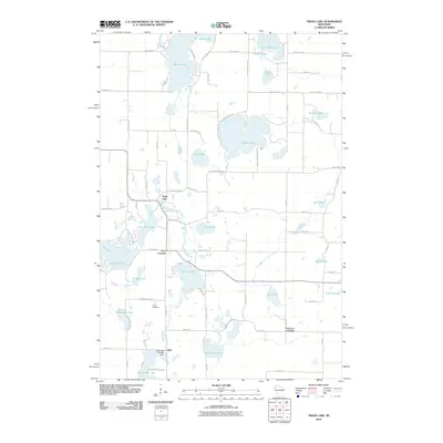 2010 Trade Lake2010 Print · USGSBurnett County’s lake country is captured here in the early twenty-first century, showing a landscape defined by glacial waters and rural crossroads. Researchers can trace local landmarks like the Atlas Feed Mill Mill Dam, Union Cemetery, and the settlement of Trade Lake.
 - 2010 Map of Centuria, 2010 Print
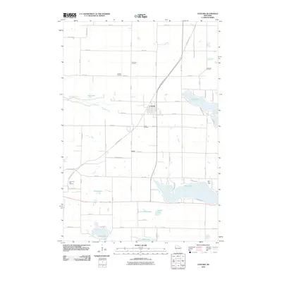 2010 Centuria2010 Print · USGSPolk County at the turn of the millennium shows a landscape defined by glacial lakes and the converted rail corridor of the Gandy Dancer Trl. Researchers can locate several historic burial grounds like Fristad Cemetery and trace the small community of Lamar.
 - 2010 Map of Frederic, 2010 Print
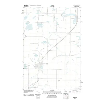 2010 Frederic2010 Print · USGSFrederic and the surrounding Polk County lake country are captured here in the early twenty-first century. Genealogists and hikers can trace the Gandy Dancer Trl and locate local landmarks like the Frederic Lookout Tower and West Sweden.
 - 2010 Map of Graytown, 2010 Print
 2010 Graytown2010 Print · USGSNorthwestern Wisconsin’s rural landscape is captured here at the start of the decade, centered on the small settlement of Graytown. Researchers can trace old property boundaries and drainage patterns along the Willow River, Wolf Creek, and Bolen Creek.
 - 2010 Map of Wapogasset Lake, 2010 Print
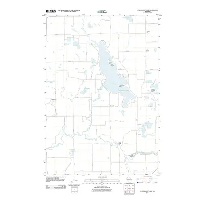 2010 Wapogasset Lake2010 Print · USGSWisconsin's lake country near Amery is shown here in the early twenty-first century, centered on the interconnected Wapogasset Lake and Bear Trap Lake. Genealogists and local historians can locate Travelers Rest Cemetery, Lincoln Cemetery, and the community of Wanderoos.
 - 2010 Map of Forest, 2010 Print
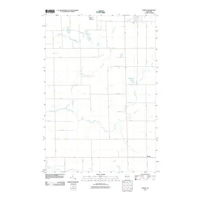 2010 Forest2010 Print · USGSWisconsin's agricultural heartland in the early twenty-first century is captured here in a landscape of winding river systems and section-line roads. Genealogists and local historians can trace the rural layout around Forest or locate properties near Bone Lake and the Willow River.
 - 2010 Map of Randall, 2010 Print
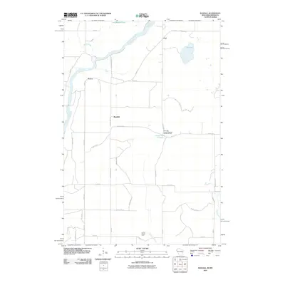 2010 Randall2010 Print · USGSThe banks of the Saint Croix River meet the rural backroads of eastern Minnesota in this 2010 study. Genealogists can trace family lands near the settlements of Benson, Randall, and Lind, or locate the Sterling Lookout Tower.
 - 2010 Map of Marine on St. Croix, 2010 Print
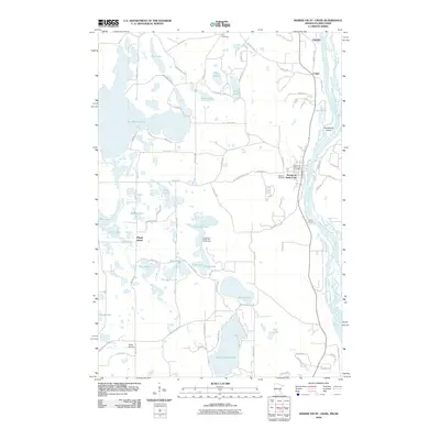 2010 Marine on St. Croix2010 Print · USGSThe Saint Croix River valley is captured here in the early twenty-first century, showing a landscape defined by glacial lakes and riverfront settlements. Researchers can locate local landmarks like Elim Cemetery, the Marine on Saint Croix Post Office, and Big Marine Lake.
 - 2010 Map of Saint Croix Dalles, 2010 Print
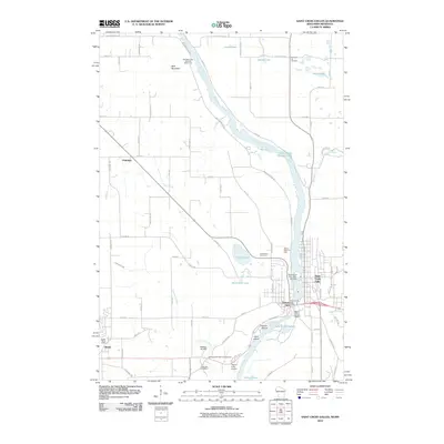 2010 Saint Croix Dalles2010 Print · USGSThe river valley border between Minnesota and Wisconsin comes alive in this study of the upper Saint Croix during the early twenty-first century. Researchers can locate local landmarks like the Saint Croix Falls 1903-C24 Dam and Pleasant Hill Cemetery.
 - 2010 Map of Cushing, 2010 Print
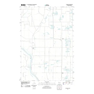 2010 Cushing2010 Print · USGSThe river and lake country of the Wisconsin-Minnesota border comes into focus in this late 2000s survey. Genealogists and local historians can trace the rural communities of Cushing and Eureka Center or the historic site of Nevers Dam on the Saint Croix River.
Showing maps 1-25 of 124
Top cities of Polk County
- Amery historical maps
- Osceola historical maps
- Frederic historical maps
- Luck historical maps
- Clear Lake historical maps
- Balsam Lake historical maps
See more
Frequently asked questions
- What are the different types of historical maps available for Polk County?
- What is the oldest map of Polk County?
- Where can I purchase historical maps of Polk County for my home or office?
- Where can I download high-res historical maps of Polk County?
- Are there historical topographic maps available for Polk County?
- Is there historical aerial imagery available for Polk County?
- Where are historical maps of Polk County sourced from?