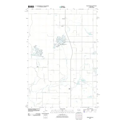
2010 Map of Trade River
USGS Topo · Published 2010About this map
Branstad and the eponymous settlement of Trade River anchor this late-2000s topographical study of Burnett County, Wisconsin. The landscape is defined by the complex hydrology of the Trade River and its northern fork, alongside artificial water bodies created by structural interventions like the G12.410 Dam. These controlled waters, including Lake Canute Flowage and Daniels Flowage, illustrate the modern management of the region's glacial lake and stream system. Local history and genealogy interest is centered on well-established sites such as Saint Olaf Cemetery near Branstad and the Logging Creek Cemetery to the southwest.
Find a feature on this map
56 named features on this map. Tap any name to fly to it.
Don’t see what you’re looking for? This feature index may not catch every label — zoom into the map to look around manually.
Map Details
Editions of this 2010 Trade River Map
This is the sole edition of this map. No revisions or reprints were ever made.
Other maps of this area

1950 · Rush City
USGS Topo · 1:48,000

1950 · Grantsburg
USGS Topo · 1:48,000

1951 · Milltown
USGS Topo · 1:48,000

1953 · Stillwater
USGS Topo · 1:250,000

1955 · Rush City
USGS Topo · 1:62,500

1955 · Milltown
USGS Topo · 1:62,500

1955 · Stillwater
USGS Topo · 1:250,000

1958 · Stillwater
USGS Topo · 1:250,000

1961 · Pine City
USGS Topo · 1:62,500

1962 · Grantsburg
USGS Topo · 1:62,500