2000s (21st Century) Maps of Portage County, Wisconsin
Explore 135 historic maps of Portage County from the 2000s (21st Century). These maps offer a rare glimpse into what life looked like during the 2000s — showing old roads, neighborhoods, homes, and landmarks that have changed or disappeared over time.
Whether you're researching your family's past, planning a metal detecting trip, or studying how Portage County's landscape evolved across the 2000s, these high-resolution maps are a powerful tool for exploring the history of this region.
- Focus on a specific era: All maps on this page are from the 2000s, giving you a focused view of this time period.
- See what’s changed: Compare century-old streets, trails, and buildings to today's modern landscape using overlays and satellite layers.
- Research with precision: Use these maps for genealogy, historical research, land use analysis, or educational projects.
- View, download, or print: Maps are fully viewable online in high resolution, and can be downloaded or printed for your own records.
Start exploring Portage County's history through authentic maps from the 2000s. This is your window into the past.
Portage County, WI maps
(135)- 2010 Map of Iola, 2010 Print
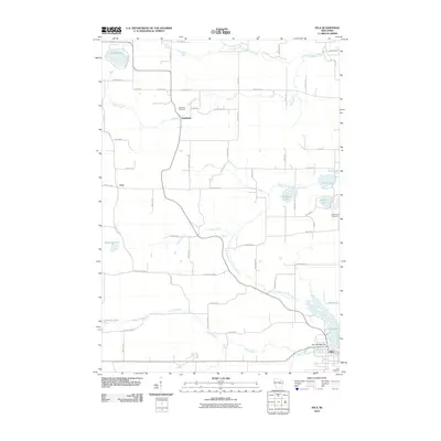 2010 Iola2010 Print · USGSWaupaca County's glacial lakes and rural settlements are shown here as they appeared in the early 2000s. Researchers can locate family landmarks like the Hitterdahl Cemetery, the old community of Northland, and the historic Iola 1870C480 Dam at Iola Lake.
 - 2010 Map of Arnott, 2010 Print
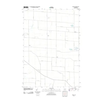 2010 Arnott2010 Print · USGSPortage County at the start of the 21st century remains a landscape of organized agriculture and quiet glacial lakes. Genealogists and local researchers can pinpoint Morrill Cemetery, the settlement of Arnott, and the waters of Bear Lake and Thomas Lake.
 - 2010 Map of Dancy, 2010 Print
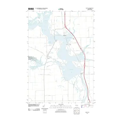 2010 Dancy2010 Print · USGSMarathon County's river-driven landscape is captured here in the early twenty-first century as the Wisconsin River feeds the massive Lake Du Bay reservoir. Researchers can trace local history through the Saint Francis Cemetery and the old road layouts around Knowlton and Dancy.
 - 2010 Map of Coloma NW, 2010 Print
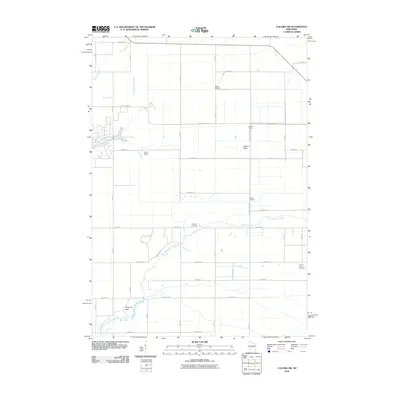 2010 Coloma NW2010 Print · USGSBig Flats and the Leola area are shown here during a period of modern land and water management. You can trace the network of drainage controls like Leola 15 Dam, find family history at Holliday Cemetery, or locate landmarks like Keystone Rock.
 - 2010 Map of King, 2010 Print
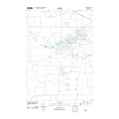 2010 King2010 Print · USGSWaupaca County's intricate lake country is centered here during the early twenty-first century. Genealogists and historians can locate the Wisconsin Veterans Memorial Cemetery and trace the paths between old settlements like Rural, Parfreyville, and Cobb Town.
 - 2010 Map of Wild Rose, 2010 Print
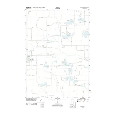 2010 Wild Rose2010 Print · USGSThe village of Wild Rose and its surrounding lake country are captured here during a period of established lakeside recreation and rural tradition. Researchers can locate numerous family burial sites like Dopp Cemetery or trace the grounds of Shin-Go-Beek Scout Camp and Camp Napowan.
 - 2010 Map of Blaine, 2010 Print
 2010 Blaine2010 Print · USGSPortage County at the start of the 2010s reveals a rural landscape defined by a striking concentration of small lakes and family-named landmarks. Researchers can trace local history through the many cemeteries like Elmwood Cemetery or locate the Fountain Lake Dam on Emmons Creek.
 - 2010 Map of Almond, 2010 Print
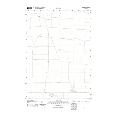 2010 Almond2010 Print · USGSPortage County at the start of the 21st century reveals a landscape of enduring rural settlements and quiet lakeside communities. Genealogists can trace family legacies across several sites, including Lone Pine Cemetery, Saint Johns Cemetery, and Guardian Angel Cemetery.
 - 2010 Map of Kellner, 2010 Print
 2010 Kellner2010 Print · USGSKellner and the surrounding Wood County countryside are captured here in the early twenty-first century as a landscape of structured drainage and small-town roots. Local researchers can trace the reaches of Tenmile Creek or find Saint Johns Cemetery and the Portage County Number 35 Dam.
 - 2010 Map of Tigerton NW, 2010 Print
 2010 Tigerton NW2010 Print · USGSPortage County at the start of the 2010s reveals a persistent agricultural landscape shaped by the Little Wolf River. Genealogists and local historians can trace family-named routes like Rekowski Rd near the settlement of Norske and the Grove Terrace Farm.
 - 2010 Map of Dewey Marsh, 2010 Print
 2010 Dewey Marsh2010 Print · USGSMarathon County is captured here in the early twenty-first century, showing a landscape defined by the winding Little Eau Claire River. Researchers can trace local landmarks like the Quarry Lookout Tower and small settlements including Ashley and Rocky Corners.
 - 2010 Map of Rosholt NW, 2010 Print
 2010 Rosholt NW2010 Print · USGSPortage County at the start of the new millennium remains a landscape of glacial lakes and quiet river bends. Genealogists and local historians can trace the roads around Shantytown or locate historical industry at the Bentley Sawmill Dam along the Plover River.
 - 2010 Map of Wautoma NE, 2010 Print
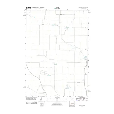 2010 Wautoma NE2010 Print · USGSWild Rose and the surrounding Waushara County lake country are captured here in the early twenty-first century. Genealogists and local researchers can trace family plots across the Bohemian Cemetery, Staples Cemetery, and the Wild Rose State Fish Hatchery.
 - 2010 Map of Scandinavia, 2010 Print
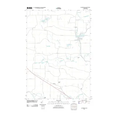 2010 Scandinavia2010 Print · USGSScandinavia and its glacial lake country are captured here during the first decade of the millennium. Researchers can find generational landmarks like Farmington Lutheran Cemetery, the Scandinavia Dam, and the riverfront settlement of Cobb Town.
 - 2010 Map of Bancroft, 2010 Print
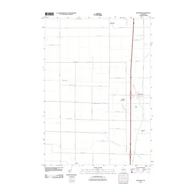 2010 Bancroft2010 Print · USGSBancroft and the surrounding Portage County agricultural plains are captured in the early twenty-first century as a land shaped by water and industry. Trace the unique drainage network of Ditch Number Four or locate rural landmarks like Lone Rock and Mosquito Bluff.
 - 2010 Map of Junction City, 2010 Print
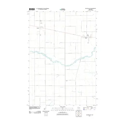 2010 Junction City2010 Print · USGSWood County at the turn of the millennium shows a landscape defined by its small towns and the meandering path of Mill Creek. Local historians can trace family roots at Saint Wenceslaus Cemetery or Saint Michael Cemetery and explore the rural layouts of Milladore and Junction City.
 - 2010 Map of Plainfield, 2010 Print
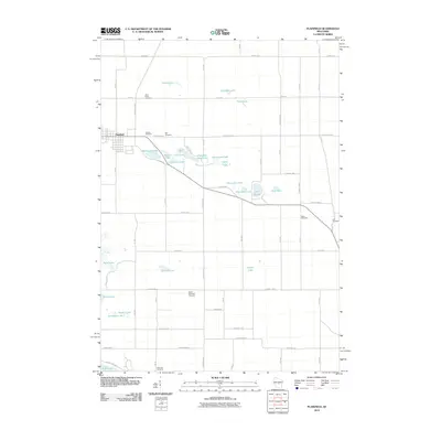 2010 Plainfield2010 Print · USGSCentral Wisconsin's lake country is documented here in the early twenty-first century as agricultural grids intersect with glacial waters. Genealogists and local historians can locate several rural burial grounds including Oasis Cemetery, Lord Cemetery, and Hillside Cemetery.
 - 2010 Map of Rocky Run, 2010 Print
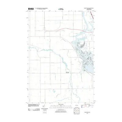 2010 Rocky Run2010 Print · USGSPortage County at the start of the 2010s shows a landscape defined by the winding Wisconsin River and its complex backwaters. Researchers can trace the development of the Mill Creek Community or locate family-named routes like Arts Ln and Jerrys Ln.
 - 2010 Map of Big Eau Pleine Reservoir, 2010 Print
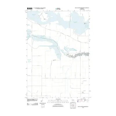 2010 Big Eau Pleine Reservoir2010 Print · USGSWisconsin's reservoir country comes into focus in this late-career survey of the Wood County area. Genealogists and local historians can locate the Runkle Cemetery or trace the complex series of waterways from Townline Reservoir to the Little Eau Pleine River.
 - 2010 Map of Stevens Point, 2010 Print
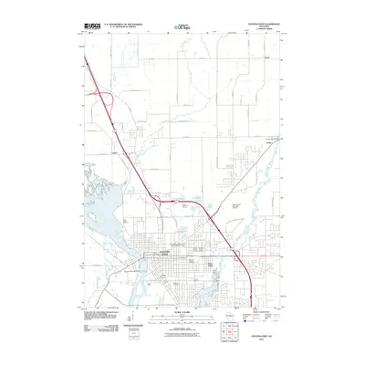 2010 Stevens Point2010 Print · USGSStevens Point and the surrounding Portage County countryside are shown here in the early 2000s, centered on the confluence of the rivers. Genealogists can trace family names through Saint Josephs Cemetery, Forest Cemetery, and the nearby settlements of Torun and Casimir.
 - 2010 Map of Whiting, 2010 Print
 2010 Whiting2010 Print · USGSPortage County at the start of the 2010s shows a landscape shaped by its river-driven industrial heritage. Genealogists and local historians can trace family locations near the McDill Cemetery or follow the legacy of water power at the Springville Dam and Whiting Plover 2WP843 Dam.
 - 2010 Map of Amherst, 2010 Print
 2010 Amherst2010 Print · USGSPortage County villages and river systems are shown here in the early twenty-first century, featuring the historic development along the Tomorrow River. Genealogists can locate family sites near Amherst Cemetery, Kimball Cemetery, and the shores of Lake Emily.
 - 2010 Map of Rosholt, 2010 Print
 2010 Rosholt2010 Print · USGSPortage County at the start of the 2010s reveals a landscape of quiet glacial lakes and rural settlements. Researchers can trace the waterways of the Little Wolf River or locate family properties near Lions Lake, Galloway, and Rosholt.
 - 2010 Map of Polonia, 2010 Print
 2010 Polonia2010 Print · USGSPortage County at the start of the 2010s reveals a structured landscape of established hamlets and managed waterways. Researchers can trace the heritage of local settlements like Polonia and Ellis or locate engineering landmarks including the Van Order 1907C157 Dam.
 - 2010 Map of New Hope, 2010 Print
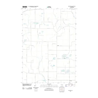 2010 New Hope2010 Print · USGSPortage County’s lake country is captured here during the first decade of the millennium, showing a landscape of scattered farmsteads and glacial waters. Researchers can locate Nelsonville Cemetery, the Chick-A-Gami Bay Scout Camp, and the winding path of the Tomorrow River.
Showing maps 1-25 of 135
Top cities of Portage County
- Stevens Point historical maps
- Plover historical maps
- Stockton historical maps
- Whiting historical maps
- Amherst historical maps
- Alban historical maps
See more
Frequently asked questions
- What are the different types of historical maps available for Portage County?
- What is the oldest map of Portage County?
- Where can I purchase historical maps of Portage County for my home or office?
- Where can I download high-res historical maps of Portage County?
- Are there historical topographic maps available for Portage County?
- Is there historical aerial imagery available for Portage County?
- Where are historical maps of Portage County sourced from?