2000s (21st Century) Maps of Almond, Wisconsin
Explore 10 historic maps of Almond from the 2000s (21st Century). These maps offer a rare glimpse into what life looked like during the 2000s — showing old roads, neighborhoods, homes, and landmarks that have changed or disappeared over time.
Whether you're researching your family's past, planning a metal detecting trip, or studying how Almond's landscape evolved across the 2000s, these high-resolution maps are a powerful tool for exploring the history of this region.
- Focus on a specific era: All maps on this page are from the 2000s, giving you a focused view of this time period.
- See what’s changed: Compare century-old streets, trails, and buildings to today's modern landscape using overlays and satellite layers.
- Research with precision: Use these maps for genealogy, historical research, land use analysis, or educational projects.
- View, download, or print: Maps are fully viewable online in high resolution, and can be downloaded or printed for your own records.
Start exploring Almond's history through authentic maps from the 2000s. This is your window into the past.
Almond, WI maps
(10)- 2010 Map of Almond, 2010 Print
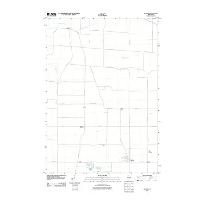 2010 Almond2010 Print · USGSCovers Almond, including Buena Vista, Pine Grove, and other nearby areas
 - 2010 Map of Plainfield, 2010 Print
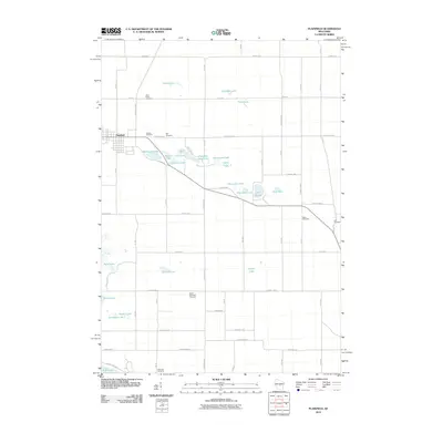 2010 Plainfield2010 Print · USGSCovers Almond, including Plainfield, Hancock, and other nearby areas
 - 2013 Map of Plainfield, 2013 Print
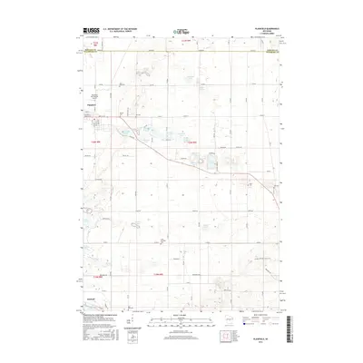
 2013 Plainfield2013 Print · USGSCovers Almond, including Plainfield, Hancock, and other nearby areas
 - 2013 Map of Almond, 2013 Print
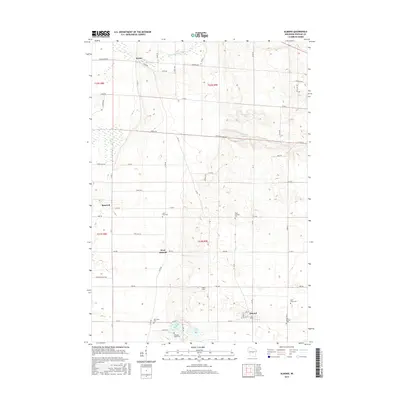
 2013 Almond2013 Print · USGSCovers Almond, including Buena Vista, Pine Grove, and other nearby areas
 - 2015 Map of Almond, 2015 Print
 2015 Almond2015 Print · USGSCovers Almond, including Buena Vista, Pine Grove, and other nearby areas
 - 2015 Map of Plainfield, 2015 Print
 2015 Plainfield2015 Print · USGSCovers Almond, including Plainfield, Hancock, and other nearby areas
 - 2018 Map of Almond, 2018 Print
 2018 Almond2018 Print · USGSCovers Almond, including Buena Vista, Pine Grove, and other nearby areas
 - 2018 Map of Plainfield, 2018 Print
 2018 Plainfield2018 Print · USGSCovers Almond, including Plainfield, Hancock, and other nearby areas
 - 2022 Map of Plainfield, 2022 Print
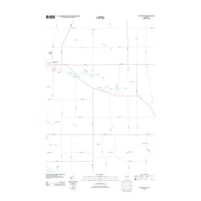
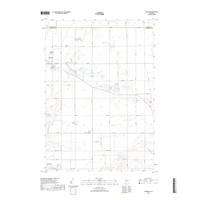
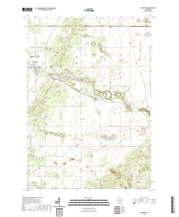 2022 Plainfield2022 Print · USGSGlacial kettle lakes and small cemeteries dot the Waushara County landscape near Plainfield during the early 2020s. Researchers can locate several burial sites like Oasis Cem and North Deerfield Cem or trace the Ice Age National Scenic Trl.
 - 2022 Map of Almond, 2022 Print
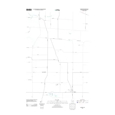
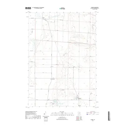
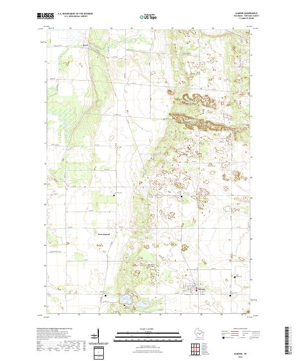 2022 Almond2022 Print · USGSAlmond and the southern Portage County landscape are captured here in the early twenty-first century. Researchers can trace local heritage through numerous burial sites like Spiritland Cem and Guardian Angel Cem or locate the hamlets of Keene and West Almond.
End of results
Showing maps 1-10 of 10
Top cities near Almond
- Plover historical maps
- Stockton historical maps
- Wautoma historical maps
- Whiting historical maps
- Amherst historical maps
- Wild Rose historical maps
See more
Frequently asked questions
- What are the different types of historical maps available for Almond?
- What is the oldest map of Almond?
- Where can I purchase historical maps of Almond for my home or office?
- Where can I download high-res historical maps of Almond?
- Are there historical topographic maps available for Almond?
- Is there historical aerial imagery available for Almond?
- Where are historical maps of Almond sourced from?