Loading...
Loading map...2022 Map of Plainfield
USGS Topo · Published 2022About this map
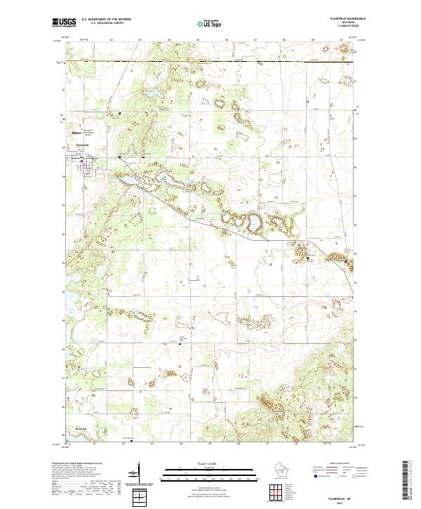
Plainfield and the surrounding Waushara County landscape are defined by a dense concentration of glacial kettles and small lakes. This 2022 survey reveals a complex network of water bodies, including Plainfield Lake, Second Lake, and Sherman Lake, which dictate the local road patterns. The area serves as a significant touchstone for genealogy, preserving numerous small burial grounds such as Saint Pauls Cem, Hillside Cem, and the Ray Cem.
Find a feature on this map
57 named features on this map. Tap any name to fly to it.
Don’t see what you’re looking for? This feature index may not catch every label — zoom into the map to look around manually.
Map Details
Date Portrayed2022
Date Published2022
PublisherU.S. Geological Survey
Map TypeTopographic
Scale1:24000
Physical Dimensions24 x 29 inches
Editions of this 2022 Plainfield Map
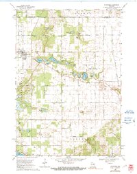
This is the sole edition of this map. No revisions or reprints were ever made.
Historical Maps of Almond Through Time
Featured Locations
Source Details
SourceU.S. Geological Survey
CopyrightPublic Domain