2010s Maps of Eisenstein, Wisconsin
Explore 16 historic maps of Eisenstein from the 2010s. These maps offer a rare glimpse into what life looked like during the 2010s — showing old roads, neighborhoods, homes, and landmarks that have changed or disappeared over time.
Whether you're researching your family's past, planning a metal detecting trip, or studying how Eisenstein's landscape evolved across the 2010s, these high-resolution maps are a powerful tool for exploring the history of this region.
- Focus on a specific era: All maps on this page are from the 2010s, giving you a focused view of this time period.
- See what’s changed: Compare century-old streets, trails, and buildings to today's modern landscape using overlays and satellite layers.
- Research with precision: Use these maps for genealogy, historical research, land use analysis, or educational projects.
- View, download, or print: Maps are fully viewable online in high resolution, and can be downloaded or printed for your own records.
Start exploring Eisenstein's history through authentic maps from the 2010s. This is your window into the past.
Eisenstein, WI maps
(16)- 2010 Map of Park Falls, 2010 Print
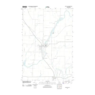 2010 Park Falls2010 Print · USGSPrice County's river-driven industry and Northwoods settlements are captured here during the early 21st century. Genealogists and local historians can trace family-named roads and landmarks from Park Falls and Lymantown to the Nola Cemetery and Cummings Dam.
 - 2010 Map of Butternut Lake, 2010 Print
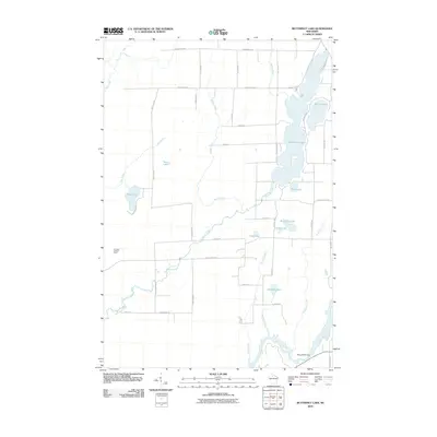 2010 Butternut Lake2010 Print · USGSAshland County's lake-filled backcountry is documented here during the early twenty-first century, showing the area's complex water system. Researchers can trace land access along County Hwy-B or locate landmarks like the Kennedy Lookout Tower and Pixley WP61 Dam.
 - 2011 Map of Pike Lake NW, 2011 Print
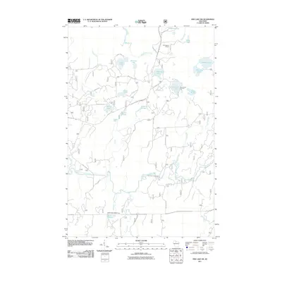 2011 Pike Lake NW2011 Print · USGSPrice County’s dense northwoods and glacial lake country are captured here in the early twenty-first century. Researchers can trace land and water management through features like the Robert Sells 3WR814 Dam and public spaces like Smith River Campground.
 - 2011 Map of Blockhouse Lake, 2011 Print
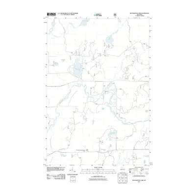 2011 Blockhouse Lake2011 Print · USGSIn the early 21st century, this Price County landscape centers on the managed forests and river systems near Fifield. Researchers can trace the path of the South Fork Flambeau River past the Sugarbush Dam and the Fifield Lookout Tower.
 - 2013 Map of Blockhouse Lake, 2013 Print
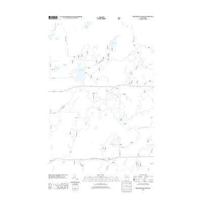 2013 Blockhouse Lake2013 Print · USGSThe Flambeau River country comes alive in this modern survey, showing a landscape defined by glacial lakes and whitewater rapids. Trace the river's path through The Ledge Rapids or locate landmarks like the Fifield Lookout Tower and Blockhouse Lake.
 - 2013 Map of Butternut Lake, 2013 Print
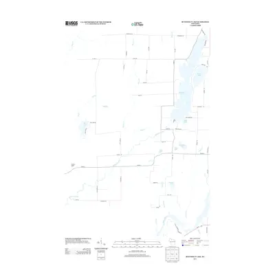 2013 Butternut Lake2013 Print · USGSNorthern Wisconsin's lake country is captured here during the early twenty-first century, showcasing a landscape defined by deep woods and glacial waters. Genealogists and local historians can trace family-named routes and landmarks like Weinberger Rd, Schnur Lake, and the Kennedy Lookout Tower.
 - 2013 Map of Pike Lake NW, 2013 Print
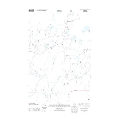 2013 Pike Lake NW2013 Print · USGSPrice County lake country in the early twenty-first century is a landscape of complex waterways and forest access. Trace the path of the South Fork Flambeau River through Smith Rapids or locate remote camps near Newman Springs and Kabol Lake.
 - 2013 Map of Park Falls, 2013 Print
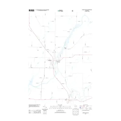 2013 Park Falls2013 Print · USGSNorthern Wisconsin river life and industry are captured here in the early 2010s. Genealogists and local historians can trace the developments of Park Falls and Fifield or locate family properties along Palacek Rd and the Flambeau River.
 - 2015 Map of Blockhouse Lake, 2015 Print
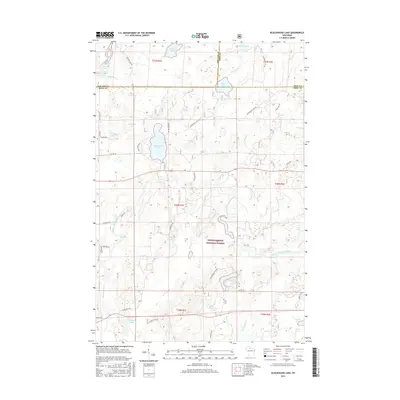 2015 Blockhouse Lake2015 Print · USGSNorthern Wisconsin's timbered interior is captured here as the Chequamegon National Forest meets the triple-county line of Ashland, Iron, and Price. Genealogists and historians can trace old forest routes to remote points like The Ledge Rapids, Blockhouse Lake, and Wintergreen Lake.
 - 2015 Map of Park Falls, 2015 Print
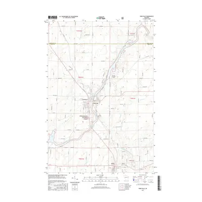 2015 Park Falls2015 Print · USGSThe Flambeau River corridor comes alive in this 2015 study, showing the industrial heart of Price County as it transitions into the Northwoods. Researchers can trace the layout of Park Falls, find family plots at Nola Cem, and explore the margins of the Chequamegon National Forest.
 - 2015 Map of Pike Lake NW, 2015 Print
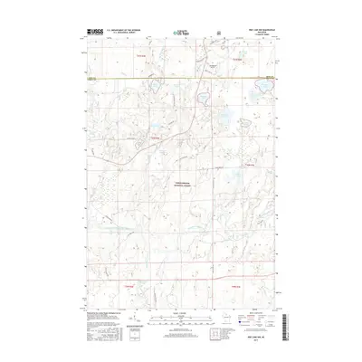 2015 Pike Lake NW2015 Print · USGSThe Northwoods of Price and Iron Counties come into focus during the mid-2010s, showing a landscape defined by the Chequamegon National Forest. Trace the winding South Fork Flambeau River through Smith Rapids or locate remote landmarks like Springstead Airport and Newman Springs.
 - 2015 Map of Butternut Lake, 2015 Print
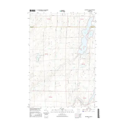 2015 Butternut Lake2015 Print · USGSAshland and Price counties are captured here in the mid-2010s, showing a landscape of glacial lakes and quiet river bends. Researchers can trace family-named roads like Weinberger Rd and local landmarks such as Butternut Lake and the Pixley Flowage.
 - 2018 Map of Pike Lake NW, 2018 Print
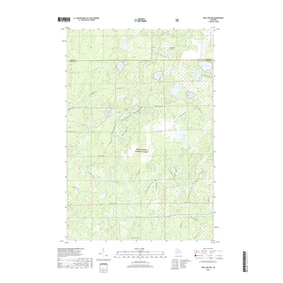 2018 Pike Lake NW2018 Print · USGSPrice and Iron Counties were centers for Northwoods recreation and forest management by the late twenty-teens. Outdoor enthusiasts and local historians can trace the intricate network of Flambeau ATV 111 trails, the Springstead Airport, and the Whitcomb Lake Portage.
 - 2018 Map of Park Falls, 2018 Print
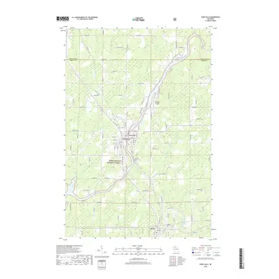 2018 Park Falls2018 Print · USGSPark Falls and the surrounding Wisconsin Northwoods are captured here in the 21st century, centered on the powerful Flambeau River corridor. Genealogists and local historians can trace family locations near Nola Cem, the settlement of Lymantown, and the Forest Home Cem.
 - 2018 Map of Blockhouse Lake, 2018 Print
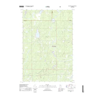 2018 Blockhouse Lake2018 Print · USGSPrice County and the surrounding northwoods are shown here in the late 2010s during a period of active forest recreation and conservation. Genealogists and hikers can trace the many water features and trails through the Chequamegon National Forest near Blockhouse Lake and the South Fork Flambeau River.
 - 2018 Map of Butternut Lake, 2018 Print
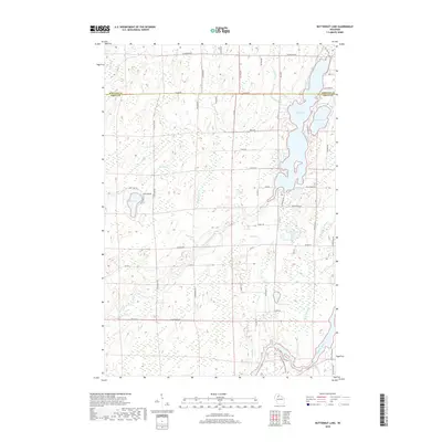 2018 Butternut Lake2018 Print · USGSThe Ashland and Price county line divides this lake-heavy landscape as it appeared in recent years. Researchers can trace rural property access and lakeside footprints along Butternut Lake, Schnur Lake, and the winding Flambeau River.
End of results
Showing maps 1-16 of 16
Top cities near Eisenstein
Frequently asked questions
- What are the different types of historical maps available for Eisenstein?
- What is the oldest map of Eisenstein?
- Where can I purchase historical maps of Eisenstein for my home or office?
- Where can I download high-res historical maps of Eisenstein?
- Are there historical topographic maps available for Eisenstein?
- Is there historical aerial imagery available for Eisenstein?
- Where are historical maps of Eisenstein sourced from?