2000s (21st Century) Maps of Dover, Wisconsin
Explore 4 historic maps of Dover from the 2000s (21st Century). These maps offer a rare glimpse into what life looked like during the 2000s — showing old roads, neighborhoods, homes, and landmarks that have changed or disappeared over time.
Whether you're researching your family's past, planning a metal detecting trip, or studying how Dover's landscape evolved across the 2000s, these high-resolution maps are a powerful tool for exploring the history of this region.
- Focus on a specific era: All maps on this page are from the 2000s, giving you a focused view of this time period.
- See what’s changed: Compare century-old streets, trails, and buildings to today's modern landscape using overlays and satellite layers.
- Research with precision: Use these maps for genealogy, historical research, land use analysis, or educational projects.
- View, download, or print: Maps are fully viewable online in high resolution, and can be downloaded or printed for your own records.
Start exploring Dover's history through authentic maps from the 2000s. This is your window into the past.
Dover, WI maps
(4)- 2022 Map of Union Grove, 2022 Print
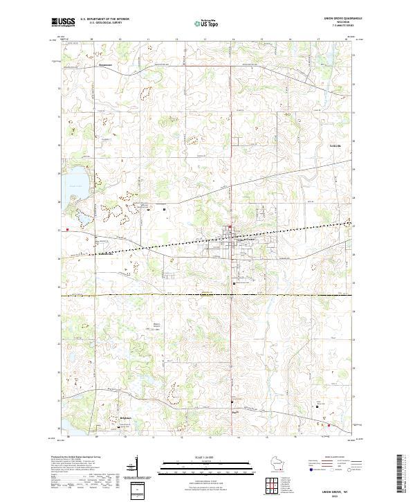 2022 Union Grove2022 Print · USGSSoutheast Wisconsin's rolling prairie and agricultural heartland are detailed here in the early twenty-first century. Genealogists can trace family footprints at Southern Wisconsin Veterans Memorial Cem or locate the rural Saint Johns Cem near Paris.
 - 2022 Map of Rochester, 2022 Print
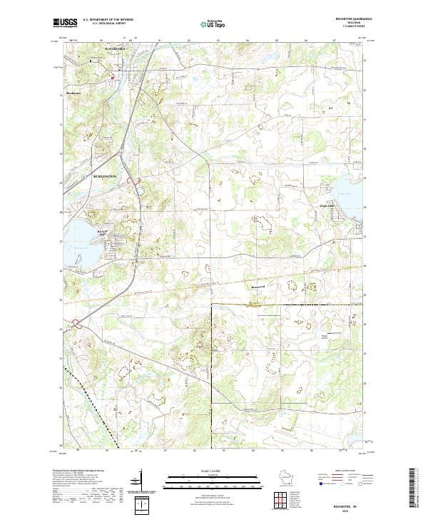 2022 Rochester2022 Print · USGSSoutheast Wisconsin's river corridors and lakeside communities are mapped here in the early twenty-first century. Genealogists and local historians can trace family locations near Rochester Cem or the established settlements of Waterford and Rosewood.
 - 2022 Map of Waterford, 2022 Print
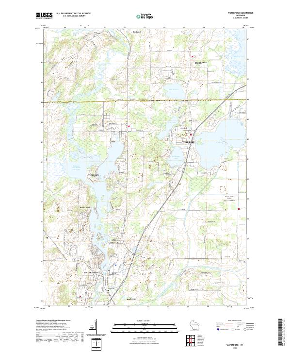 2022 Waterford2022 Print · USGSSoutheast Wisconsin's lake country is mapped in detail here as the communities of Waterford and Wind Lake expanded around the Fox River in the early 2020s. Trace local history through the many burial grounds, such as Rural Home Cem, and drainage works like the Wind Lake Drainage Canal.
 - 2022 Map of North Cape, 2022 Print
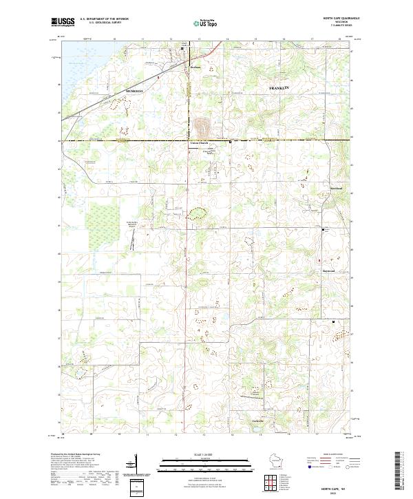 2022 North Cape2022 Print · USGSSoutheast Wisconsin in the twenty-first century remains a landscape of historic crossroads and agricultural heritage. Genealogists and local historians can trace the foundations of Union Church, find the Parker Cem, or explore the many private airfields like Valhalla Airport.
End of results
Showing maps 1-4 of 4
Top cities near Dover
- Milwaukee historical maps
- Kenosha historical maps
- New Berlin historical maps
- Franklin historical maps
- Greenfield historical maps
- Oak Creek historical maps
See more
Top neighborhoods of Dover
- Kansasville historical maps
- Eagle Lake historical maps
- Beaumont historical maps
- Rosewood historical maps
- Eagle Lake Manor historical maps
- Lorimar Estates historical maps
See more
Frequently asked questions
- What are the different types of historical maps available for Dover?
- What is the oldest map of Dover?
- Where can I purchase historical maps of Dover for my home or office?
- Where can I download high-res historical maps of Dover?
- Are there historical topographic maps available for Dover?
- Is there historical aerial imagery available for Dover?
- Where are historical maps of Dover sourced from?