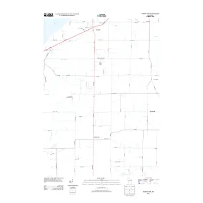
2013 Map of North Cape
USGS Topo · Published 2013About this map
Durham and Union Church anchor this agricultural and residential landscape on the southern edge of Milwaukee County during the early 21st century. The map reveals a transition between established small settlements and the encroaching suburban grid, particularly around Kneeland and Raymond. Aviation is a notable part of the local character, with several small landing strips including Aero Estates Airport, Valhalla Airport, and the Cindy Guntly Memorial Airport dotting the open fields. The terrain is defined by its water management systems, notably the Goose Lake Br Canal and Cross Canal, which facilitate drainage into larger bodies like Muskego Lake to the northwest. This topography, shaped by the Ryan Cr drainage, highlights the area's history of reclaiming marshland for productive use while maintaining a network of rural routes like W Loomis Rd and 7 Mile Rd.
Find a feature on this map
62 named features on this map. Tap any name to fly to it.
Don’t see what you’re looking for? This feature index may not catch every label — zoom into the map to look around manually.
Map Details
Editions of this 2013 North Cape Map
This is the sole edition of this map. No revisions or reprints were ever made.
Other maps of this area

1891 · Bayview
USGS Topo · 1:62,500

1891 · Muskego
USGS Topo · 1:62,500

1892 · Racine
USGS Topo · 1:62,500

1893 · Silver Lake
USGS Topo · 1:62,500

1901 · Bayview
USGS Topo · 1:62,500

1901 · Muskego
USGS Topo · 1:62,500

1905 · Racine
USGS Topo · 1:62,500

1906 · Silver Lake
USGS Topo · 1:62,500

1954 · Rockford
USGS Topo · 1:250,000

1955 · Rockford
USGS Topo · 1:250,000