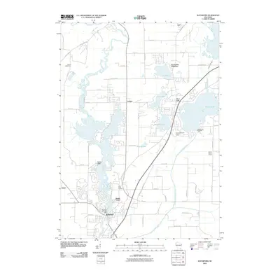
2010 Map of Waterford
USGS Topo · Published 2010About this map
The Fox River anchors the landscape of this southern Wisconsin corridor, winding past established communities and a series of glacial lakes. In the village of Waterford, the river is managed by the Waterford 3WR1680 Dam, marking a focal point for local settlement and early industry. To the north, the water network expands into Tichigan and numerous smaller basins including Lake Denoon, Waubeesee Lake, and Bisanabi Lake, which define the residential patterns and recreation-focused developments of the area.
Find a feature on this map
60 named features on this map. Tap any name to fly to it.
Don’t see what you’re looking for? This feature index may not catch every label — zoom into the map to look around manually.
Map Details
Editions of this 2010 Waterford Map
This is the sole edition of this map. No revisions or reprints were ever made.
Other maps of this area

1891 · Muskego
USGS Topo · 1:62,500

1892 · Eagle
USGS Topo · 1:62,500

1893 · Silver Lake
USGS Topo · 1:62,500

1893 · Geneva
USGS Topo · 1:62,500

1894 · Eagle
USGS Topo · 1:62,500

1897 · Eagle
USGS Topo · 1:62,500

1901 · Muskego
USGS Topo · 1:62,500

1904 · Lake Geneva
USGS Topo · 1:62,500

1906 · Eagle
USGS Topo · 1:62,500

1906 · Silver Lake
USGS Topo · 1:62,500