2000s (21st Century) Maps of Big Bend, Wisconsin
Explore 20 historic maps of Big Bend from the 2000s (21st Century). These maps offer a rare glimpse into what life looked like during the 2000s — showing old roads, neighborhoods, homes, and landmarks that have changed or disappeared over time.
Whether you're researching your family's past, planning a metal detecting trip, or studying how Big Bend's landscape evolved across the 2000s, these high-resolution maps are a powerful tool for exploring the history of this region.
- Focus on a specific era: All maps on this page are from the 2000s, giving you a focused view of this time period.
- See what’s changed: Compare century-old streets, trails, and buildings to today's modern landscape using overlays and satellite layers.
- Research with precision: Use these maps for genealogy, historical research, land use analysis, or educational projects.
- View, download, or print: Maps are fully viewable online in high resolution, and can be downloaded or printed for your own records.
Start exploring Big Bend's history through authentic maps from the 2000s. This is your window into the past.
Big Bend, WI maps
(20)- 2010 Map of Bruce, 2010 Print
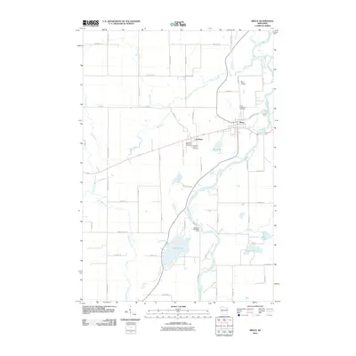 2010 Bruce2010 Print · USGSRusk County at the dawn of the 2010s shows a landscape shaped by the Chippewa River and the village of Bruce. Genealogists and local historians can trace family locations through Saint Marys Cemetery or the two cemeteries at Apollonia, and locate the Amacoy 2WP1881 Dam on Amacoy Lake.
 - 2010 Map of Weyerhaeuser, 2010 Print
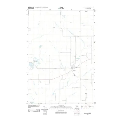 2010 Weyerhaeuser2010 Print · USGSWeyerhaeuser and the surrounding Rusk County lakeland are captured here during the first decade of the 2000s. Researchers can locate family heritage sites like the Polish Cemetery or trace the drainage of the Blue Hills into Cranberry Lake and Two Bear Lake.
 - 2010 Map of Chain Lake, 2010 Print
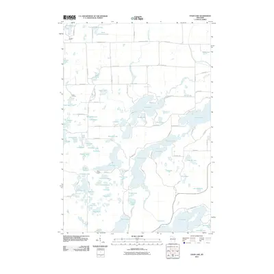 2010 Chain Lake2010 Print · USGSThis part of Rusk County is defined by a dense network of glacial waters and seasonal retreats during the early twenty-first century. Researchers can trace the development of lakeside properties and access points near Stang Lookout Tower, Island Lake, and Two Bear Camp.
 - 2010 Map of Fireside Lakes, 2010 Print
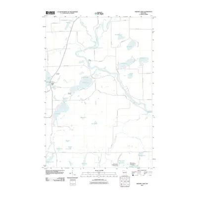 2010 Fireside Lakes2010 Print · USGSRusk County’s lake country is captured here during the early 2000s, showing a landscape defined by the Chippewa River and its many tributaries. Researchers can locate family sites near Island Lake Cemetery or trace the development of the Willow Creek Flowage Number One.
 - 2013 Map of Bruce, 2013 Print
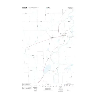 2013 Bruce2013 Print · USGSThe village of Bruce and the settlement of Apollonia are shown in the early 2010s as they sit along the winding Chippewa River. Researchers can trace local landmarks like Amacoy Lake, Bruce Lake, and the rural road network including Sawdust Rd.
 - 2013 Map of Chain Lake, 2013 Print
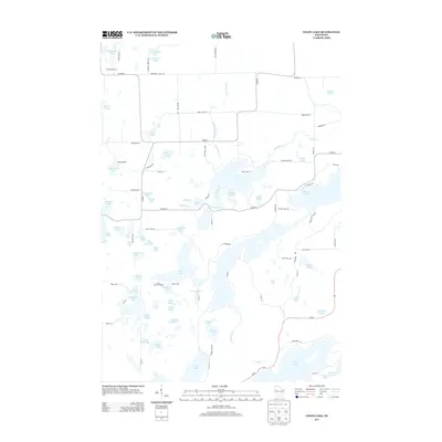 2013 Chain Lake2013 Print · USGSBig Bend and the Rusk County lake country are mapped here during the early twenty-first century. Genealogists and historians can trace the positions of Camp Wahdoon and Two Bear Camp, or locate the prominent Stang Lookout Tower.
 - 2013 Map of Fireside Lakes, 2013 Print
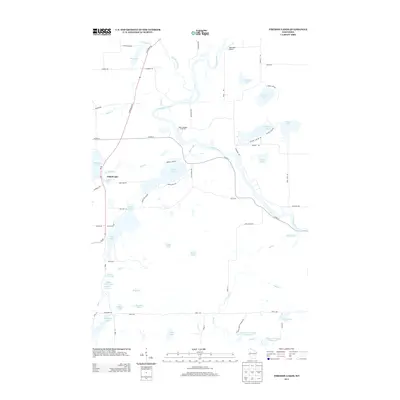 2013 Fireside Lakes2013 Print · USGSNorthern Wisconsin's lake country is captured here during the early twenty-first century, showing the intricate waterways of Rusk County. Trace local landmarks like Hatch Landing on the Chippewa River or the rural surroundings of Taylorport Airport and Fireside Lakes.
 - 2013 Map of Weyerhaeuser, 2013 Print
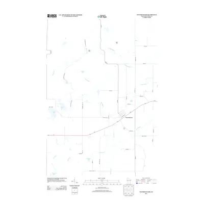 2013 Weyerhaeuser2013 Print · USGSThe village of Weyerhaeuser and the surrounding Rusk County lakeland are captured here just after the first decade of the millennium. Outdoor historians and genealogists can trace the Ice Age Natl Scenic Trl or locate family sites along Historic Rd and Pleasant Ridge Rd.
 - 2015 Map of Weyerhaeuser, 2015 Print
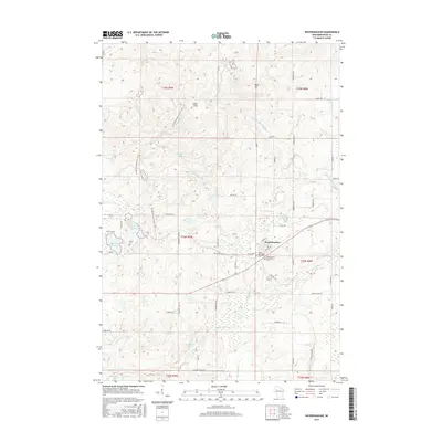 2015 Weyerhaeuser2015 Print · USGSWisconsin's northern timber and rail country is captured here during the mid-2010s, centered on the village of Weyerhaeuser. Researchers can trace local heritage at the Polish Cem and Saints Peter and Paul Cem or follow the Ice Age National Scenic Trail through the Blue Hills.
 - 2015 Map of Bruce, 2015 Print
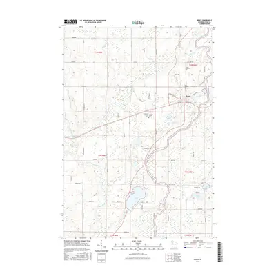 2015 Bruce2015 Print · USGSThe village of Bruce and the winding Chippewa River define this Rusk County landscape in the early twenty-first century. Genealogists and local historians can trace family locations near Saint Marys Cem, Apollonia Protestant Cem, and the shores of Amacoy Lake.
 - 2015 Map of Fireside Lakes, 2015 Print
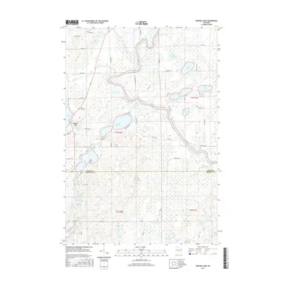 2015 Fireside Lakes2015 Print · USGSThe borderlands of Rusk and Chippewa counties are shown here as they appeared in the early 2010s, defined by an intricate network of glacial lakes and the Chippewa River. Researchers can trace local history through the Island Lake Cem, Mud Lake Cem, and the various family-named roads near Fireside Lakes.
 - 2015 Map of Chain Lake, 2015 Print
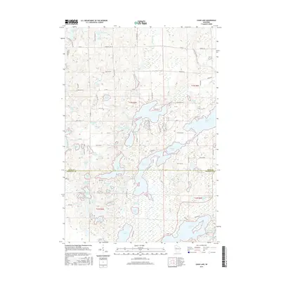 2015 Chain Lake2015 Print · USGSUpper Wisconsin lake country comes to life in the mid-2010s as this survey traces the intricate shorelines of the Big Bend region. Genealogists and local historians can map the many family-named roads and landmarks around Chain Lake, Island Lake, and the historic Schoolhouse Lake.
 - 2018 Map of Bruce, 2018 Print
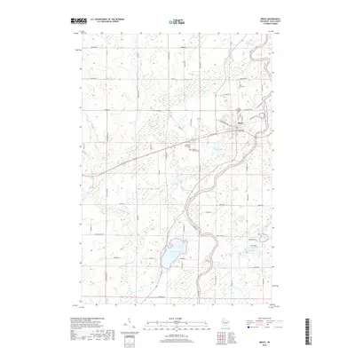 2018 Bruce2018 Print · USGSThe village of Bruce and the surrounding Rusk County timberlands are shown in detail during the late twenty-tens. Researchers can trace local heritage through sites like Saint Marys Cem, Amacoy Lake, and the historic cemeteries near Apollonia.
 - 2018 Map of Weyerhaeuser, 2018 Print
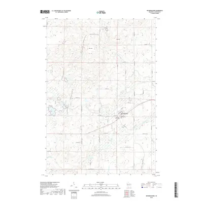 2018 Weyerhaeuser2018 Print · USGSRusk County’s glacial landscapes and the village of Weyerhaeuser are shown here as they appeared in the early twenty-first century. Genealogists and local historians can trace rural family-named roads and locate sites like the Polish Cem or Saints Peter and Paul Cem.
 - 2018 Map of Fireside Lakes, 2018 Print
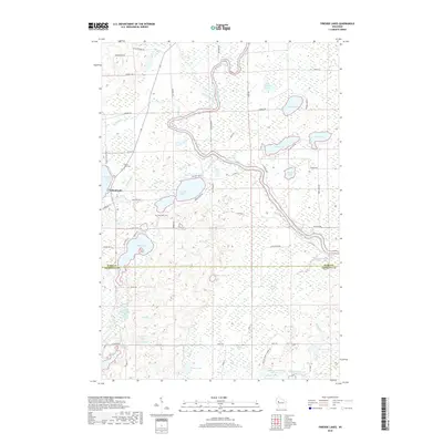 2018 Fireside Lakes2018 Print · USGSThe northern Wisconsin lake country comes into focus in this late 2010s survey of the Rusk and Chippewa county line. Researchers can trace local history at the Island Lake Cem, School Lake, and the numerous named basins like Fireside Lakes and Marsh Lake.
 - 2018 Map of Chain Lake, 2018 Print
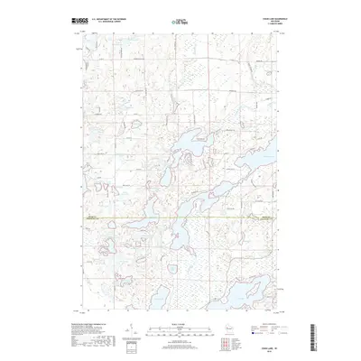 2018 Chain Lake2018 Print · USGSThe Rusk and Chippewa county line in northern Wisconsin is defined by a dense network of glacial kettle lakes. Researchers can trace land tracts near McCann Lake, identify family-named roads like Dzimiela Rd, and locate secluded waters like Hungry Lake.
 - 2022 Map of Fireside Lakes, 2022 Print
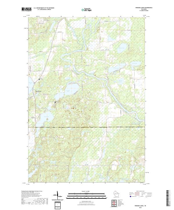 2022 Fireside Lakes2022 Print · USGSRusk and Chippewa counties are shown here in the 2020s, featuring a dense cluster of glacial lakes and river systems. Genealogists can locate family landmarks like the Island Lake Cem and Mud Lake Cem near Island Lake and the Fireside Lakes.
 - 2022 Map of Weyerhaeuser, 2022 Print
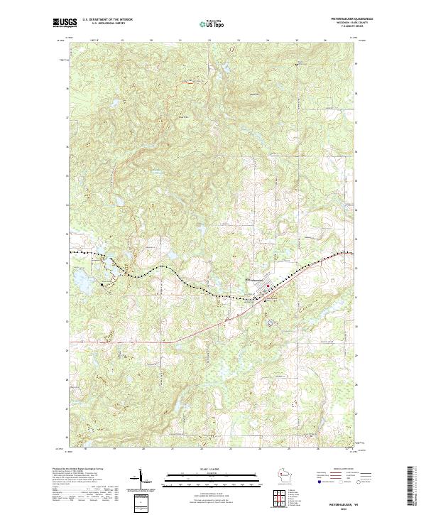 2022 Weyerhaeuser2022 Print · USGSRusk County’s rural character is on display in the 2020s, centered on the village of Weyerhaeuser and its surrounding glacial terrain. Genealogists and hikers can trace the Ice Age National Scenic Trl or locate family sites at the Polish Cem and Weyerhaeuser Cem.
 - 2022 Map of Bruce, 2022 Print
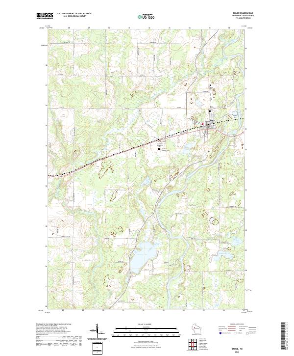 2022 Bruce2022 Print · USGSWisconsin's Northwoods landscape is captured here in the early twenty-first century, centered on the village of Bruce and the winding Chippewa River. Genealogists can trace local history through several key sites like Saint Marys Cemetery and Apollonia Catholic Cemetery.
 - 2022 Map of Chain Lake, 2022 Print
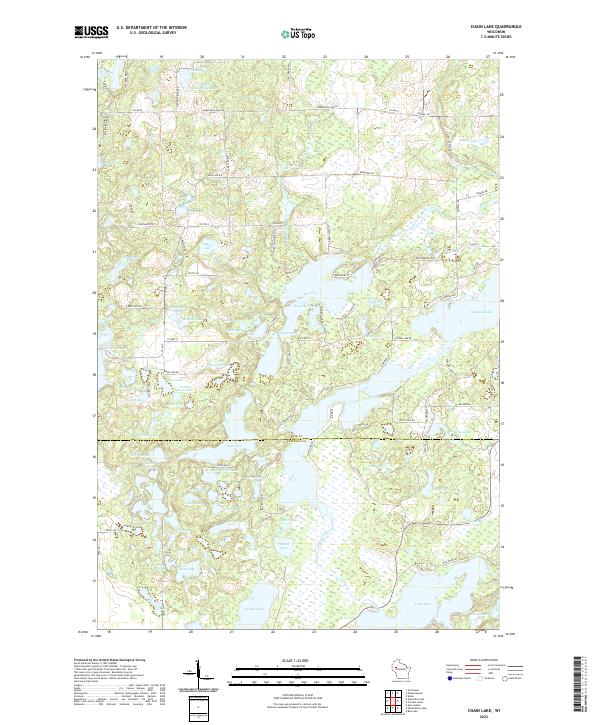 2022 Chain Lake2022 Print · USGSUpper Wisconsin’s lake country is captured here in the contemporary era, showcasing the dense network of glacial waters along the Rusk and Chippewa county line. Researchers and outdoorsmen can trace the shores of Hungry Lake, The Narrows, and the secluded Dead Goose Lake.
End of results
Showing maps 1-20 of 20
Top cities near Big Bend
- Bloomer historical maps
- Eagle Point historical maps
- Cornell historical maps
- Thornapple historical maps
- Bruce historical maps
- Sumner historical maps
See more
Top neighborhoods of Big Bend
Frequently asked questions
- What are the different types of historical maps available for Big Bend?
- What is the oldest map of Big Bend?
- Where can I purchase historical maps of Big Bend for my home or office?
- Where can I download high-res historical maps of Big Bend?
- Are there historical topographic maps available for Big Bend?
- Is there historical aerial imagery available for Big Bend?
- Where are historical maps of Big Bend sourced from?