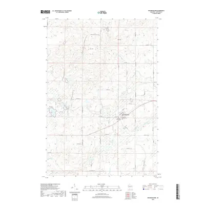
2018 Map of Weyerhaeuser
USGS Topo · Published 2018About this map
Weyerhaeuser serves as the central hub of this Rusk County landscape, where the local road network converges near the Weyerhaeuser Protestant Cem and Saints Peter and Paul Cem. The village's proximity to the Ice Age National Scenic Trail highlights a terrain defined by glacial legacy, winding through the Blue Hills and past numerous glacial depressions now filled by Bass Lake, Pickerel Lakes, and Lost Mans Lake. Significant drainages like Soft Maple Cr and Cranberry Cr carve through the timbered sections, while local family history is anchored by rural landmarks such as the Polish Cem. The presence of many smaller family-named roads, including Czekalski Ln and Sadowski Ln, suggests a long-standing agricultural and residential community tied to the land.
Find a feature on this map
50 named features on this map. Tap any name to fly to it.
Don’t see what you’re looking for? This feature index may not catch every label — zoom into the map to look around manually.
Map Details
Editions of this 2018 Weyerhaeuser Map
This is the sole edition of this map. No revisions or reprints were ever made.
Other maps of this area

1945 · Meteor
USGS Topo · 1:48,000

1948 · Weyerhauser
USGS Topo · 1:48,000

1949 · Meteor
USGS Topo · 1:48,000

1949 · Rice Lake
USGS Topo · 1:48,000

1950 · Weyerhauser
USGS Topo · 1:48,000

1951 · Rice Lake
USGS Topo · 1:48,000

1951 · Chetek
USGS Topo · 1:62,500

1953 · Rice Lake
USGS Topo · 1:250,000

1959 · Rice Lake
USGS Topo · 1:250,000

1965 · Rice Lake
USGS Topo · 1:62,500