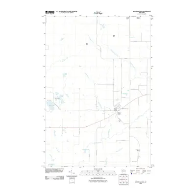
2010 Map of Weyerhaeuser
USGS Topo · Published 2010About this map
Weyerhaeuser sits at the heart of this Rusk County landscape, serving as a focal point for the surrounding network of glacial lakes and woodlots. The map details the local social geography through several burial grounds, including the Polish Cemetery and the Saints Peter and Paul Cemetery. These sites, along with the Weyerhaeuser Protestant Cemetery, offer significant markers for genealogists tracing the ethnic and religious settlement patterns of the region.
Find a feature on this map
45 named features on this map. Tap any name to fly to it.
Don’t see what you’re looking for? This feature index may not catch every label — zoom into the map to look around manually.
Map Details
Editions of this 2010 Weyerhaeuser Map
This is the sole edition of this map. No revisions or reprints were ever made.
Other maps of this area

1945 · Meteor
USGS Topo · 1:48,000

1948 · Weyerhauser
USGS Topo · 1:48,000

1949 · Meteor
USGS Topo · 1:48,000

1949 · Rice Lake
USGS Topo · 1:48,000

1950 · Weyerhauser
USGS Topo · 1:48,000

1951 · Rice Lake
USGS Topo · 1:48,000

1951 · Chetek
USGS Topo · 1:62,500

1953 · Rice Lake
USGS Topo · 1:250,000

1959 · Rice Lake
USGS Topo · 1:250,000

1965 · Rice Lake
USGS Topo · 1:62,500