Old Maps of Rush River, Wisconsin for Genealogy
Trace your family roots with 29 historic maps of Rush River. These high-res maps reveal old neighborhoods, homesites, landmarks, and streets — helping you uncover where your ancestors lived and how the area evolved over time.
- Explore historic neighborhoods: Identify where your relatives may have lived in the 1800s or 1900s.
- Compare maps over time: Trace the changes in streets, buildings, and landmarks for multi-generational research.
- Perfect for genealogy & ancestry research: Used by family historians and researchers to map out lineage and migration.
These maps are an incredible resource for exploring your personal connection to Rush River's past.
Rush River, WI maps
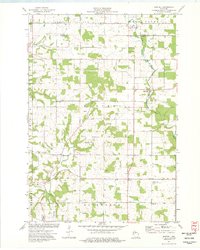
(29)- 1949 Map of Baldwin
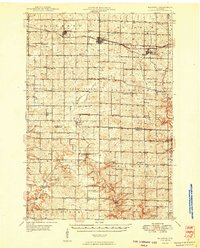 1949 Baldwin1949 Print · USGSThe dairy lands of St. Croix and Pierce counties thrive in the late 1940s as the rail line connects the bustling hubs of Baldwin and Woodville. Genealogists and historians can locate dozens of neighborhood landmarks, from the Emmanuel Lutheran Ch to rural schools like Birchdale Sch and Loyalty Sch.2 unique versions available
 - 1953 Map of Saint Paul, 1964 Print
 1953 Saint Paul1964 Print · USGSThe Twin Cities and the Mississippi River valley are captured here at a mid-century turning point. Trace the early growth of Minneapolis and Saint Paul alongside landmarks like Lake Minnetonka and the St Croix River.4 unique versions available
 - 1959 Map of Saint Paul
 1959 Saint Paul1959 Print · USGSThe Twin Cities and southeastern Minnesota appear here in the late fifties, showing the peak of the rail era and post-war suburban growth. Genealogists can trace family footprints near Lake Minnetonka, the Univ Of Minn Rosemount Research Center, or the growing neighborhoods of Richfield.2 unique versions available
 - 1974 Map of El Paso, 1977 Print
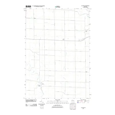
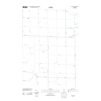
 1974 El Paso1977 Print · USGSPierce County and the Rush River valley are captured in the mid-1970s, showcasing a landscape of ridge-top farms and deep coulees. Researchers can locate family landmarks such as Gilman Sch, the Sacred Heart Ch, and the landmark Crystal Cave.
 - 1974 Map of Baldwin East, 1977 Print
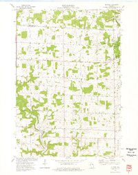
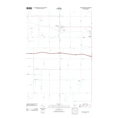
 1974 Baldwin East1977 Print · USGSSt. Croix County during the mid-seventies reveals a landscape of growing villages and a steady rail-and-river economy. Researchers can trace the Chicago and North Western line or locate family plots at Lone Pine Cem and Brookville Cem.
 - 1974 Map of Baldwin West, 1977 Print
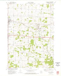
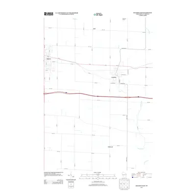
 1974 Baldwin West1977 Print · USGSMid-century St. Croix County comes into focus as the Chicago and North Western railroad links the growing hubs of Hammond and Baldwin. Genealogists and local researchers can trace rural landmarks from the Catholic Cem to the Baldwin Christian Sch and the Peace Ch.
 - 1974 Map of Martell, 1977 Print
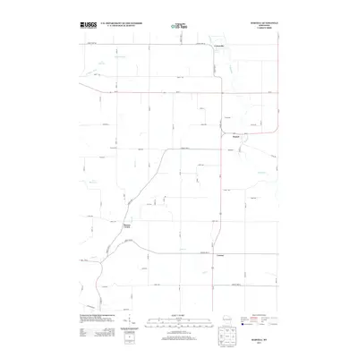
 1974 Martell1977 Print · USGSWestern Wisconsin's agricultural heartland is documented in the mid-1970s, showcasing the rural crossroads of Pierce County. Genealogists can locate family landmarks like Sunnyside Sch, Mt Olivet Cem, and the Rush River Ch.
 - 1985 Map of Hastings
 1985 Hastings1985 Print · USGSThe river valleys of the St. Croix and Mississippi dominate this mid-eighties landscape as they border Minnesota and Wisconsin. You can trace the boundaries of the Prairie Island Indian Res, find the old rail alignments of the SOO LINE, and locate remote bluffs like Rattlesnake Point.
 - 1990 Map of Hastings, 1991 Print
 1990 Hastings1991 Print · USGSThe river confluence at Hastings and Prescott is captured here in the final decade of the twentieth century, showing a landscape defined by the Mississippi River and St Croix River. Genealogists and historians can trace rail corridors like the Soo RR and find smaller settlements such as Miesville, Wacouta, and Diamond Bluff.
 - 2010 Map of Baldwin West, 2010 Print
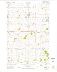
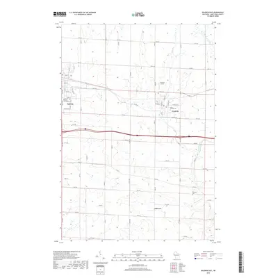
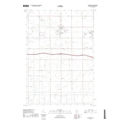
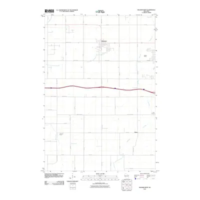 2010 Baldwin West2010 Print · USGSCovers Rush River, including Baldwin, Hammond, and other nearby areas
 - 2010 Map of Baldwin East, 2010 Print
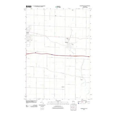 2010 Baldwin East2010 Print · USGSCovers Rush River, including Baldwin, Woodville, and other nearby areas
 - 2010 Map of Martell, 2010 Print
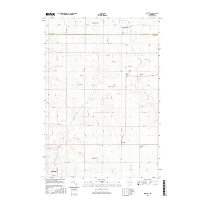
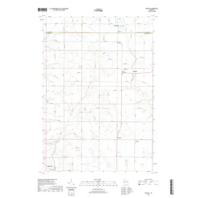
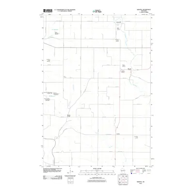 2010 Martell2010 Print · USGSCovers Rush River, including Ellsworth, River Falls, and other nearby areas
 - 2010 Map of El Paso, 2010 Print
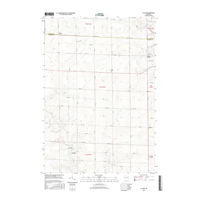
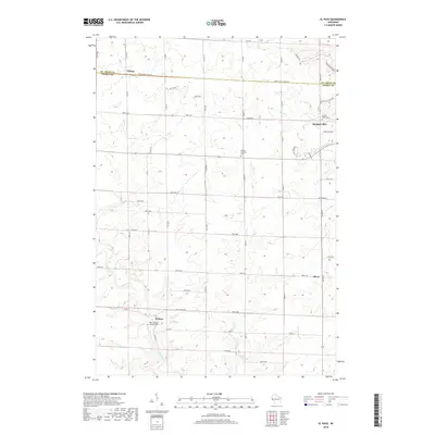
 2010 El Paso2010 Print · USGSCovers Rush River, including Spring Valley, Martell, and other nearby areas
 - 2013 Map of Baldwin West, 2013 Print
 2013 Baldwin West2013 Print · USGSCovers Rush River, including Baldwin, Hammond, and other nearby areas
 - 2013 Map of El Paso, 2013 Print
 2013 El Paso2013 Print · USGSCovers Rush River, including Spring Valley, Martell, and other nearby areas
 - 2013 Map of Baldwin East, 2013 Print
 2013 Baldwin East2013 Print · USGSCovers Rush River, including Baldwin, Woodville, and other nearby areas
 - 2013 Map of Martell, 2013 Print
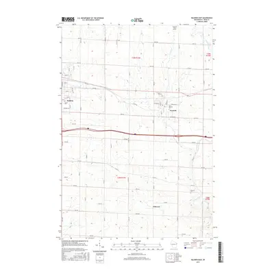
 2013 Martell2013 Print · USGSCovers Rush River, including Ellsworth, River Falls, and other nearby areas
 - 2015 Map of Martell, 2015 Print
 2015 Martell2015 Print · USGSCovers Rush River, including Ellsworth, River Falls, and other nearby areas
 - 2015 Map of El Paso, 2015 Print
 2015 El Paso2015 Print · USGSCovers Rush River, including Spring Valley, Martell, and other nearby areas
 - 2015 Map of Baldwin East, 2015 Print
 2015 Baldwin East2015 Print · USGSCovers Rush River, including Baldwin, Woodville, and other nearby areas
 - 2015 Map of Baldwin West, 2015 Print
 2015 Baldwin West2015 Print · USGSCovers Rush River, including Baldwin, Hammond, and other nearby areas
 - 2018 Map of Baldwin East, 2018 Print
 2018 Baldwin East2018 Print · USGSCovers Rush River, including Baldwin, Woodville, and other nearby areas
 - 2018 Map of Martell, 2018 Print
 2018 Martell2018 Print · USGSCovers Rush River, including Ellsworth, River Falls, and other nearby areas
 - 2018 Map of El Paso, 2018 Print
 2018 El Paso2018 Print · USGSCovers Rush River, including Spring Valley, Martell, and other nearby areas
 - 2018 Map of Baldwin West, 2018 Print
 2018 Baldwin West2018 Print · USGSCovers Rush River, including Baldwin, Hammond, and other nearby areas
Showing maps 1-25 of 29
Top cities near Rush River
- River Falls historical maps
- New Richmond historical maps
- Baldwin historical maps
- Ellsworth historical maps
- River Falls historical maps
- Town of River Falls historical maps
See more
Top neighborhoods of Rush River
Frequently asked questions
- What are the different types of historical maps available for Rush River?
- What is the oldest map of Rush River?
- Where can I purchase historical maps of Rush River for my home or office?
- Where can I download high-res historical maps of Rush River?
- Are there historical topographic maps available for Rush River?
- Is there historical aerial imagery available for Rush River?
- Where are historical maps of Rush River sourced from?