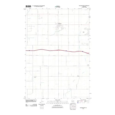
2010 Map of Baldwin West
USGS Topo · Published 2010About this map
Hammond serves as the primary residential hub on this 2010 topographic record, showing its grid-style development and local road network north of the major east-west interstate corridor. The landscape is defined by the headwaters and drainage of several significant regional waterways, including the Kinnickinnic River in the northwest and the South Branch Kinnickinnic River flowing through the central plains. These waters give way to the eastern drainage of the Rush River, which winds south toward the small settlement at Palmer. This era of the Saint Croix County landscape is characterized by a balance of aviation and agriculture, evidenced by both the Baldwin Airport on the eastern margin and the smaller Rush River Airport to the southwest. Local history is anchored by sites like Peace Cemetery, which sits overlooking the river valley.
Find a feature on this map
36 named features on this map. Tap any name to fly to it.
Don’t see what you’re looking for? This feature index may not catch every label — zoom into the map to look around manually.
Map Details
Editions of this 2010 Baldwin West Map
This is the sole edition of this map. No revisions or reprints were ever made.
Other maps of this area

1946 · River Falls
USGS Topo · 1:62,500

1948 · New Richmond
USGS Topo · 1:62,500

1949 · New Richmond
USGS Topo · 1:62,500

1949 · River Falls
USGS Topo · 1:62,500

1949 · Baldwin
USGS Topo · 1:62,500

1950 · Deer Park
USGS Topo · 1:62,500

1953 · Saint Paul
USGS Topo · 1:250,000

1953 · Stillwater
USGS Topo · 1:250,000

1955 · Stillwater
USGS Topo · 1:250,000

1958 · Stillwater
USGS Topo · 1:250,000