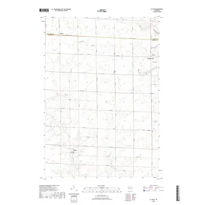
2018 Map of El Paso
USGS Topo · Published 2018About this map
Rush River and its various tributaries, including Cave Cr and Mines Cr, define the drainage patterns of this Pierce County landscape near the St. Croix County line. The settlement of El Paso sits in the southwestern portion of the sheet, where Saint Josephs Catholic Cem marks a local point of genealogical interest. To the northeast, the outskirts of Spring Valley appear, accompanied by Sacred Heart Cem.
Find a feature on this map
58 named features on this map. Tap any name to fly to it.
Don’t see what you’re looking for? This feature index may not catch every label — zoom into the map to look around manually.
Map Details
Editions of this 2018 El Paso Map
This is the sole edition of this map. No revisions or reprints were ever made.
Other maps of this area

1935 · Arkansaw
USGS Topo · 1:48,000

1940 · Maiden Rock
USGS Topo · 1:62,500

1941 · Arkansaw
USGS Topo · 1:62,500

1942 · Arkansaw
USGS Topo · 1:62,500

1946 · Knapp
USGS Topo · 1:62,500

1949 · Knapp
USGS Topo · 1:62,500

1949 · Baldwin
USGS Topo · 1:62,500

1950 · Maiden Rock
USGS Topo · 1:62,500

1953 · Saint Paul
USGS Topo · 1:250,000

1959 · Saint Paul
USGS Topo · 1:250,000