Old Maps of Honey Creek, Wisconsin for Genealogy
Trace your family roots with 29 historic maps of Honey Creek. These high-res maps reveal old neighborhoods, homesites, landmarks, and streets — helping you uncover where your ancestors lived and how the area evolved over time.
- Explore historic neighborhoods: Identify where your relatives may have lived in the 1800s or 1900s.
- Compare maps over time: Trace the changes in streets, buildings, and landmarks for multi-generational research.
- Perfect for genealogy & ancestry research: Used by family historians and researchers to map out lineage and migration.
These maps are an incredible resource for exploring your personal connection to Honey Creek's past.
Honey Creek, WI maps
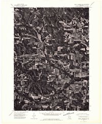
(29)- 1901 Map of Denzer
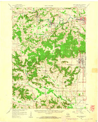
 1901 Denzer1901 Print · USGSSauk County at the turn of the century shows a landscape of narrow valleys and early rail corridors along the Baraboo River. Researchers can trace old crossroads like Pains Corners and Lodi Mill or find landmarks like Pewits Nest.7 unique versions available
 - 1957 Map of Madison, 1967 Print
 1957 Madison1967 Print · USGSSouth-central Wisconsin in the mid-fifties reveals a landscape of industrial hubs and glacial lakes linked by a dense rail and highway network. Genealogists and historians can trace the development of lakeside communities and find notable sites like Badger Ordnance Works and the Horicon National Wildlife Refuge.3 unique versions available
 - 1958 Map of North Freedom, 1960 Print
 1958 North Freedom1960 Print · USGSSauk County's rural landscape is captured here in the late fifties, defined by its traditional farmsteads and a massive industrial military presence. Researchers can find numerous country landmarks like Free Thinkers Hall, Stones Pocket Sch, and the Lodi Mill.4 unique versions available
 - 1960 Map of Madison
 1960 Madison1960 Print · USGSCentral and Southern Wisconsin are captured in the late fifties, showing the region as its rail-and-river network matured. Trace the paths of the Soo Line RR or locate family roots near Lake Mendota and Horicon National Wildlife Refuge.2 unique versions available
 - 1975 Map of North Freedom NE, 1976 Print
 1975 North Freedom NE1976 Print · USGSSauk County's rural heartland is visible in the mid-seventies, showing the agricultural patterns and small-town footprints of central Wisconsin. Researchers can trace the path of the Baraboo River as it passes near North Freedom and the growing outskirts of Baraboo.2 unique versions available
 - 1975 Map of North Freedom NW, 1976 Print
 1975 North Freedom NW1976 Print · USGSSauk County farmlands and river bends are captured in this mid-seventies aerial survey. Genealogists and researchers can trace the rural layouts of Rock Springs and La Rue or follow the path of the Baraboo River.2 unique versions available
 - 1975 Map of North Freedom SE, 1976 Print
 1975 North Freedom SE1976 Print · USGSSauk County’s agricultural and industrial landscape is captured in the mid-seventies in this detailed aerial survey. Researchers can trace land use patterns near Badger or locate the site of the Lodi Mill amidst the rolling farm acreage.2 unique versions available
 - 1975 Map of North Freedom SW, 1976 Print
 1975 North Freedom SW1976 Print · USGSSauk County's rural landscape is documented with aerial precision in the mid-1970s, showcasing the agricultural rhythm of the Driftless Area. Local historians can pinpoint the exact building layouts and field boundaries surrounding Leland, Black Hawk, and Witwen.2 unique versions available
 - 1991 Map of Madison
 1991 Madison1991 Print · USGSMadison and its iconic glacial lakes are captured here during a time of steady urban expansion and regional growth. Researchers can trace the mid-century development of the University of Wisconsin, locate family sites near Forest Hill Cem, or explore the footprint of the Badger Army Ammunition Plant.
 - 2010 Map of North Freedom, 2010 Print
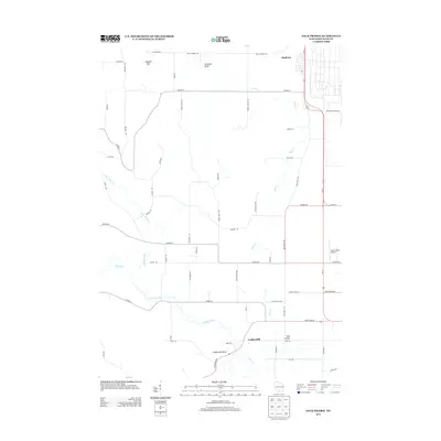
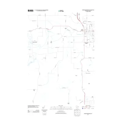
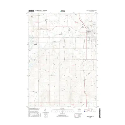
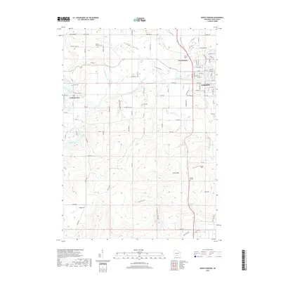
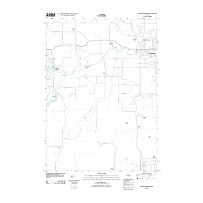 2010 North Freedom2010 Print · USGSCovers Honey Creek, including Baraboo, West Baraboo, and other nearby areas
 - 2010 Map of Black Hawk, 2010 Print
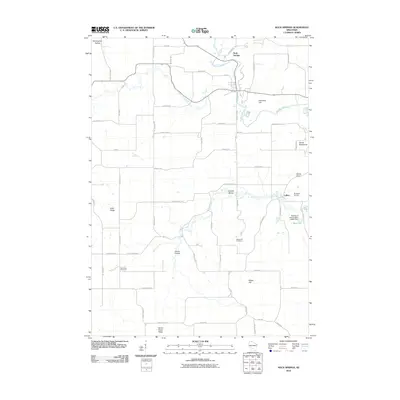
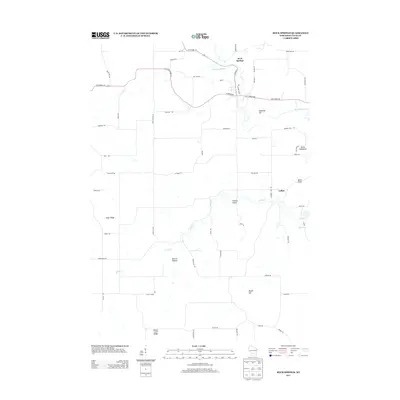
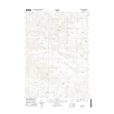
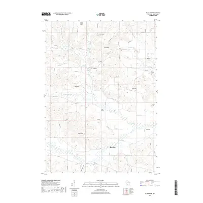
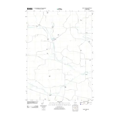 2010 Black Hawk2010 Print · USGSCovers Honey Creek, including Black Hawk, Denzer, and other nearby areas
 - 2010 Map of Sauk Prairie, 2010 Print
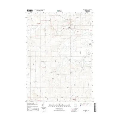
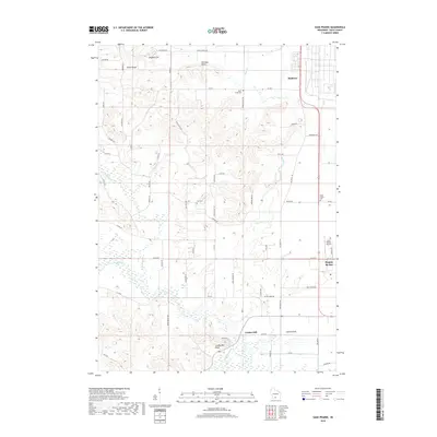
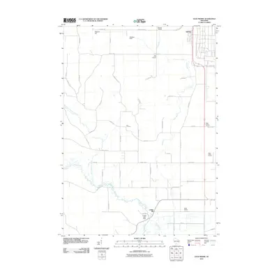 2010 Sauk Prairie2010 Print · USGSCovers Honey Creek, including Prairie du Sac, Town of Prairie du Sac, and other nearby areas
 - 2010 Map of Rock Springs, 2010 Print
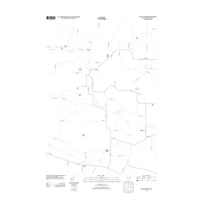
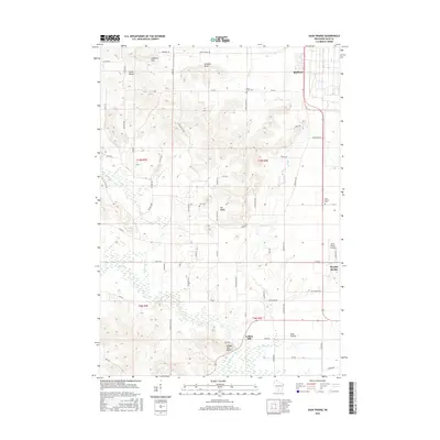
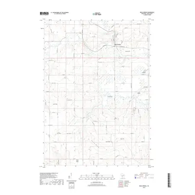
 2010 Rock Springs2010 Print · USGSCovers Honey Creek, including Rock Springs, Reedsburg, and other nearby areas
 - 2013 Map of Sauk Prairie, 2013 Print
 2013 Sauk Prairie2013 Print · USGSCovers Honey Creek, including Prairie du Sac, Town of Prairie du Sac, and other nearby areas
 - 2013 Map of Black Hawk, 2013 Print
 2013 Black Hawk2013 Print · USGSCovers Honey Creek, including Black Hawk, Denzer, and other nearby areas
 - 2013 Map of Rock Springs, 2013 Print
 2013 Rock Springs2013 Print · USGSCovers Honey Creek, including Rock Springs, Reedsburg, and other nearby areas
 - 2013 Map of North Freedom, 2013 Print
 2013 North Freedom2013 Print · USGSCovers Honey Creek, including Baraboo, West Baraboo, and other nearby areas
 - 2016 Map of Sauk Prairie, 2016 Print
 2016 Sauk Prairie2016 Print · USGSCovers Honey Creek, including Prairie du Sac, Town of Prairie du Sac, and other nearby areas
 - 2016 Map of Black Hawk, 2016 Print
 2016 Black Hawk2016 Print · USGSCovers Honey Creek, including Black Hawk, Denzer, and other nearby areas
 - 2016 Map of Rock Springs, 2016 Print
 2016 Rock Springs2016 Print · USGSCovers Honey Creek, including Rock Springs, Reedsburg, and other nearby areas
 - 2016 Map of North Freedom, 2016 Print
 2016 North Freedom2016 Print · USGSCovers Honey Creek, including Baraboo, West Baraboo, and other nearby areas
 - 2018 Map of Rock Springs, 2018 Print
 2018 Rock Springs2018 Print · USGSCovers Honey Creek, including Rock Springs, Reedsburg, and other nearby areas
 - 2018 Map of Sauk Prairie, 2018 Print
 2018 Sauk Prairie2018 Print · USGSCovers Honey Creek, including Prairie du Sac, Town of Prairie du Sac, and other nearby areas
 - 2018 Map of North Freedom, 2018 Print
 2018 North Freedom2018 Print · USGSCovers Honey Creek, including Baraboo, West Baraboo, and other nearby areas
 - 2018 Map of Black Hawk, 2018 Print
 2018 Black Hawk2018 Print · USGSCovers Honey Creek, including Black Hawk, Denzer, and other nearby areas
Showing maps 1-25 of 29
Top cities near Honey Creek
- Baraboo historical maps
- Reedsburg historical maps
- Prairie du Sac historical maps
- Lake Delton historical maps
- Sauk City historical maps
- Roxbury historical maps
See more
Top neighborhoods of Honey Creek
Frequently asked questions
- What are the different types of historical maps available for Honey Creek?
- What is the oldest map of Honey Creek?
- Where can I purchase historical maps of Honey Creek for my home or office?
- Where can I download high-res historical maps of Honey Creek?
- Are there historical topographic maps available for Honey Creek?
- Is there historical aerial imagery available for Honey Creek?
- Where are historical maps of Honey Creek sourced from?