2000s (21st Century) Maps of Couderay, Wisconsin
Explore 30 historic maps of Couderay from the 2000s (21st Century). These maps offer a rare glimpse into what life looked like during the 2000s — showing old roads, neighborhoods, homes, and landmarks that have changed or disappeared over time.
Whether you're researching your family's past, planning a metal detecting trip, or studying how Couderay's landscape evolved across the 2000s, these high-resolution maps are a powerful tool for exploring the history of this region.
- Focus on a specific era: All maps on this page are from the 2000s, giving you a focused view of this time period.
- See what’s changed: Compare century-old streets, trails, and buildings to today's modern landscape using overlays and satellite layers.
- Research with precision: Use these maps for genealogy, historical research, land use analysis, or educational projects.
- View, download, or print: Maps are fully viewable online in high resolution, and can be downloaded or printed for your own records.
Start exploring Couderay's history through authentic maps from the 2000s. This is your window into the past.
Couderay, WI maps
(30)- 2010 Map of Chief Lake, 2010 Print
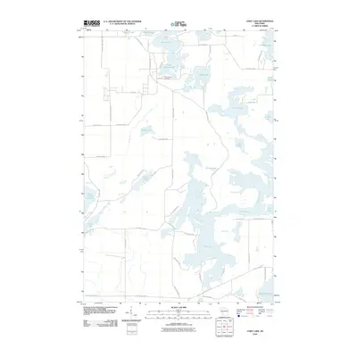 2010 Chief Lake2010 Print · USGSSawyer County’s lake country is captured in the early twenty-first century, showing a landscape defined by water and woods. Genealogists and local historians can trace family locations near Round Lake Cemetery or property lines along Chief Lake and the Chippewa River.
- 2010 Map of Reserve, 2010 Print
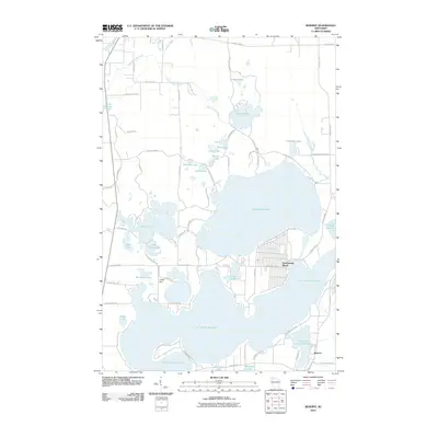 2010 Reserve2010 Print · USGSSawyer County's lakeside character is on full display in the early twenty-first century, centered on the deep waters of Lac Courte Oreilles. Researchers can trace local development in Northwoods Beach and Reserve, or locate landmarks like the Jonjak Dam and Whitefish Lake.
- 2010 Map of Hauer, 2010 Print
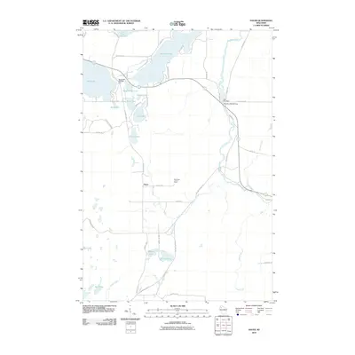 2010 Hauer2010 Print · USGSSawyer County at the start of the 2010s was a landscape defined by its waters and rural crossroad settlements like Hauer. Genealogists and local historians can trace the intricate river-and-lake network including the Couderay River, the Sand Lake Lookout Tower, and Billy Boy Dam.
- 2010 Map of Couderay, 2010 Print
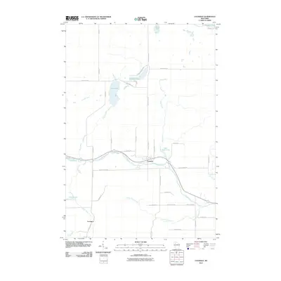 2010 Couderay2010 Print · USGSSawyer County at the start of the 2010s shows a landscape of river-town life and glacial lakes. Local historians can trace the course of the Couderay River between the settlements of Couderay and Lemington, alongside features like Ashegon Lake and Swift Creek.
- 2010 Map of Edgewater, 2010 Print
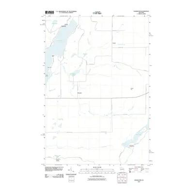 2010 Edgewater2010 Print · USGSThe Northwoods of Sawyer County come into focus in the early 21st century, centered on the lakes and rural outposts near the Couderay River headwaters. Trace local history through the Edgewater Post Office, the shores of Lake Chetac, and the high ground of Meteor Hill.
- 2010 Map of Weirgor, 2010 Print
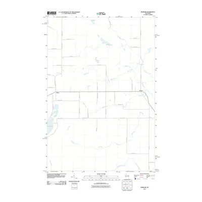 2010 Weirgor2010 Print · USGSSawyer County at the start of the decade is defined by its network of glacial lakes and northern streams. Local historians can trace rural routes and water features like Weirgor Lake, the settlement of Meteor, and the winding path of Swan Creek.
- 2013 Map of Hauer, 2013 Print
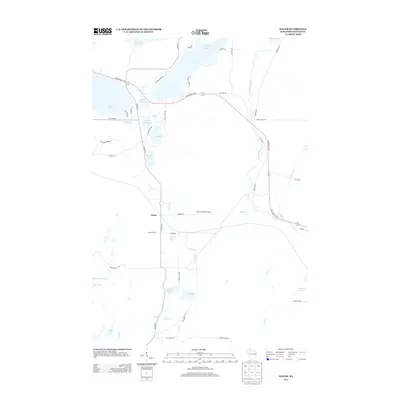 2013 Hauer2013 Print · USGSSawyer County’s lake country is captured here in the early twenty-first century, showing the intricate waterways between Lac Courte Oreilles and the Couderay River. Researchers can trace local landmarks like the Sand Lake Lookout Tower, the small settlement of Hauer, and the varied springs including Benson Spring.
- 2013 Map of Edgewater, 2013 Print
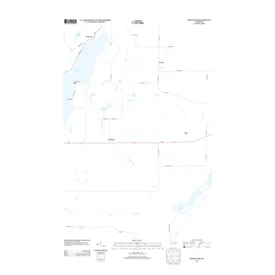 2013 Edgewater2013 Print · USGSThe Sawyer County lake country is captured here in the early twenty-first century, showing the established communities of Edgewater and Wooddale. Researchers can trace old family road names and shoreline landmarks like Indian Point, Pikes Point, and Meteor Hill.
- 2013 Map of Couderay, 2013 Print
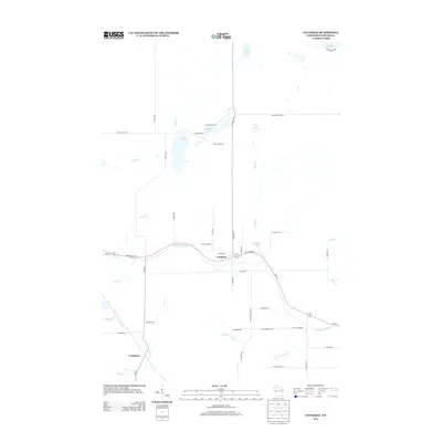 2013 Couderay2013 Print · USGSSawyer County’s Northwoods terrain is shown in detail here during the early twenty-first century, centered on the Couderay River. Genealogists and locals can trace family lands near Couderay and Lemington, or locate landmarks like Eddy Creek Spring.
- 2013 Map of Chief Lake, 2013 Print
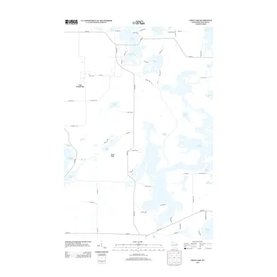 2013 Chief Lake2013 Print · USGSThe interconnected Northwoods waterways of Sawyer County are shown here in the early twenty-first century. Researchers can trace local landmarks and lakefront access points from Chief Lake to the broad expanses of Lake Chippewa and Lac Courte Oreilles.
- 2013 Map of Reserve, 2013 Print
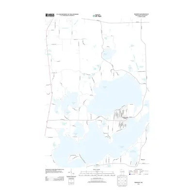 2013 Reserve2013 Print · USGSSawyer County’s intricate lake country is captured here during the early 2010s, showing the established shoreline communities of the Lac Courte Oreilles region. Researchers can trace local development around Northwoods Beach or locate sites near Reserve and Graveyard Springs.
- 2013 Map of Weirgor, 2013 Print
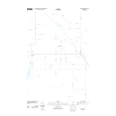 2013 Weirgor2013 Print · USGSSawyer County at the start of the 2010s reveals a landscape defined by glacial springs and small rural settlements. Genealogists and local historians can trace the roads around Meteor and Weirgor, or locate family-named landmarks like Buckhorn Spring and Kitty-Wompus Airport.
- 2015 Map of Chief Lake, 2015 Print
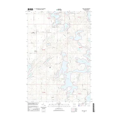 2015 Chief Lake2015 Print · USGSThe Lac Courte Oreilles Reservation is mapped in the mid-2010s, showcasing the complex shorelines of Lake Chippewa and Chief Lake. Local historians can trace the developments at New Post and Reserve, or locate the Lac Courte Oreilles Ojibwa Community College.
- 2015 Map of Reserve, 2015 Print
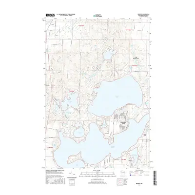 2015 Reserve2015 Print · USGSSawyer County's lake country is captured here in the mid-2010s, showing the established communities and intricate shorelines of the northwoods. Researchers can pinpoint property locations near Northwoods Beach, Reserve, and the spring-fed waters of Graveyard Springs.
- 2015 Map of Couderay, 2015 Print
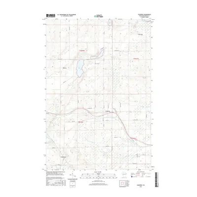 2015 Couderay2015 Print · USGSSawyer County at the midpoint of the 2010s reveals a landscape defined by its river valleys and glacial waters. Genealogists and local researchers can trace the roads connecting Couderay, Reserve, and New Post or locate family landmarks near Devils Lake and Biernie Swamp.
- 2015 Map of Hauer, 2015 Print
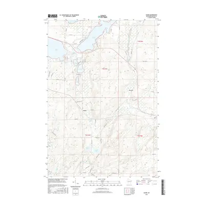 2015 Hauer2015 Print · USGSSawyer County’s glacial lake country and the upper Couderay River are captured here in the mid-2010s. Researchers can trace local landmarks and water systems from the settlement of Reserve to Whitefish Lake and Lower Hauer Spring.
- 2015 Map of Edgewater, 2015 Print
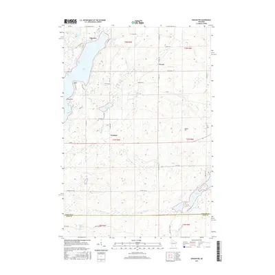 2015 Edgewater2015 Print · USGSThe Northwoods of Sawyer County are shown here in 2015, centered on the sprawling shoreline of Lake Chetac. Researchers can trace the layout of small communities like Edgewater and Yarnell or locate landmarks such as Meteor Hill and Pigeon Cr Flowage.
- 2015 Map of Weirgor, 2015 Print
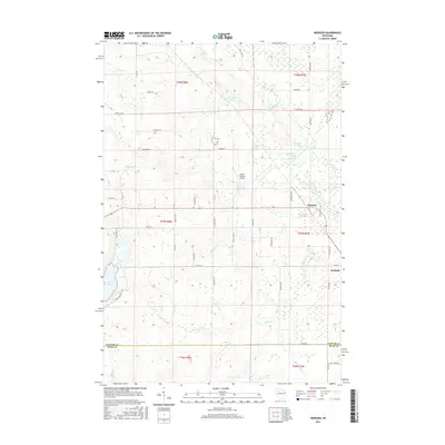 2015 Weirgor2015 Print · USGSThe rural border of Sawyer and Rusk counties comes to life in this survey of the northern woods during the mid-2010s. Researchers can locate family landmarks along Bjelland Lane, find the small Kitty-Wompus Airport, or trace the numerous named waters like Weirgor Springs and Deer Lake.
- 2018 Map of Weirgor, 2018 Print
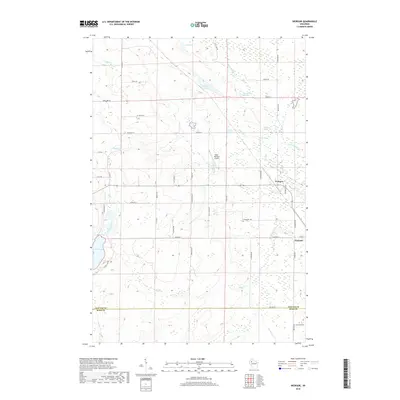 2018 Weirgor2018 Print · USGSSawyer County and Rusk County meet here in northern Wisconsin during the late 2010s, a landscape defined by its springs and marshlands. Genealogists and locals can trace family-named roads and landmarks like Kitty-Wompus Airport, Exeland, and Weirgor Springs.
- 2018 Map of Hauer, 2018 Print
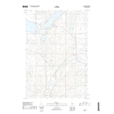 2018 Hauer2018 Print · USGSSawyer County’s lake country is captured here during the late twenty-teens, showing the intersection of water and woodland. You can trace the shorelines of Whitefish Lake and Lac Courte Oreilles, or locate smaller features like Hauer and Lower Hauer Spring.
- 2018 Map of Couderay, 2018 Print
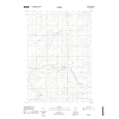 2018 Couderay2018 Print · USGSSawyer County at the start of the twenty-first century reveals a landscape defined by the Couderay River and its surrounding wetlands. Genealogists and local historians can map the rural settlements of Reserve, Lemington, and Couderay alongside local landmarks like Eddy Creek Spring.
- 2018 Map of Chief Lake, 2018 Print
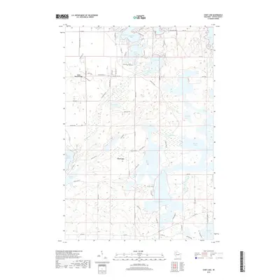 2018 Chief Lake2018 Print · USGSSawyer County's labyrinth of glacial waters is documented in this contemporary survey, centered on the diverse bays of Lake Chippewa. Researchers can locate the Round Lake Cem and trace the shorelines of Little Round Lake and Osprey Lake.
- 2018 Map of Edgewater, 2018 Print
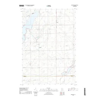 2018 Edgewater2018 Print · USGSEdgewater and the surrounding Sawyer County shoreline are documented in this recent survey. Local historians can trace the development of rural settlements like Yarnell and Wooddale or locate land features such as Knuteson Lake and Meteor Hill.
- 2019 Map of Reserve, 2019 Print
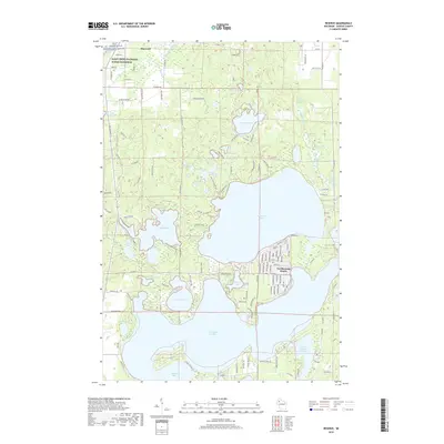 2019 Reserve2019 Print · USGSSawyer County’s famous lake district is captured here in the late twenty-teens, showing the dense settlement patterns around the water’s edge. Researchers can trace property access near Northwoods Beach or locate natural features like Graveyard Springs and Windigo Lake.
- 2022 Map of Couderay, 2022 Print
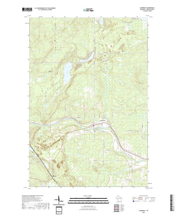 2022 Couderay2022 Print · USGSSawyer County at the start of the 2020s shows a landscape of glacial lakes and river-valley settlements. Researchers can trace local history from the Couderay Evergreen Cem to the banks of the Couderay River or follow the route of the Tuscobia State Trl.
Showing maps 1-25 of 30
Top cities near Couderay
- Hayward historical maps
- Edgewater historical maps
- Birchwood historical maps
- Weirgor historical maps
- Ojibwa historical maps
- Murry historical maps
See more
Top neighborhoods of Couderay
Frequently asked questions
- What are the different types of historical maps available for Couderay?
- What is the oldest map of Couderay?
- Where can I purchase historical maps of Couderay for my home or office?
- Where can I download high-res historical maps of Couderay?
- Are there historical topographic maps available for Couderay?
- Is there historical aerial imagery available for Couderay?
- Where are historical maps of Couderay sourced from?