Old Maps of Couderay, Wisconsin for Hiking & Exploration
Hike through history with 43 historic maps of Couderay. Explore old trails, ghost towns, and forgotten backroads — perfect for outdoor adventurers and local explorers.
- Rediscover forgotten places: Map out old mining camps, roads, and footpaths that no longer exist on modern maps.
- Layer with modern tools: Combine with LiDAR or satellite views to plan hikes through historical terrain.
- Made for exploration: Popular among hikers, overlanders, and local history lovers.
Use these maps to find adventure and explore the hidden past of Couderay.
Couderay, WI maps
(43)- 1944 Map of Couderay, 1956 Print
 1944 Couderay1956 Print · USGSSawyer County’s lake country is captured here during the 1940s, showing the intersection of tribal lands and rail-driven settlements. Genealogists and historians can trace old homesteads near Reserve, the village of Couderay, and rural schools like Boylan Sch.2 unique versions available
 - 1945 Map of Meteor, 1961 Print
 1945 Meteor1961 Print · USGSNorthern Wisconsin's timber and lake country is captured here just after the war, showing the area as small settlements like Edgewater and Meteor grew. You can trace the Old RR Grade and find historic rural schools like Glendale Sch and Frontier Sch.2 unique versions available
 - 1948 Map of Couderay
 1948 Couderay1948 Print · USGSSawyer County at the end of the Second World War shows a landscape defined by its great lakes and a dense network of early railroads. Genealogists and local historians can trace family-named sites and rural centers like Hauer, Whitefish Ch, and Kinnamon Sch.
 - 1949 Map of Meteor
 1949 Meteor1949 Print · USGSRusk and Sawyer Counties show a landscape of timber and early rail development in the late 1940s. Genealogists can locate family schoolhouses like Sentinel Ash Sch or Frontier Sch and trace the paths of the Old RR Grade and Edgewater shoreline.
 - 1953 Map of Rice Lake, 1967 Print
 1953 Rice Lake1967 Print · USGSNorthwest Wisconsin during the mid-fifties reveals a landscape defined by timber, rail, and water. Genealogists and historians can trace the development of river towns like Ladysmith and Rice Lake along the Soo Line and Chicago and North Western railroads.2 unique versions available
 - 1959 Map of Rice Lake
 1959 Rice Lake1959 Print · USGSNorthwest Wisconsin in the late fifties was a land of expanding road networks and deep-seated timber history. Genealogists and historians can trace rail lines like the Soo Line RR and Chicago St Paul Minneapolis and Omaha Ry as they link settlements from Spooner to Medford.
 - 1971 Map of Couderay, 1973 Print
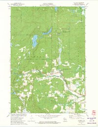 1971 Couderay1973 Print · USGSSawyer County’s river-fed lowlands and protected wildlands are captured here in the early seventies. Local historians and genealogists can trace the early layout of Couderay and Lemington, or locate landmarks like the Cemetery and the Tuscobia-Park Falls State Trail.2 unique versions available
 - 1971 Map of Chief Lake, 1973 Print
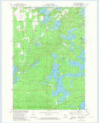 1971 Chief Lake1973 Print · USGSSawyer County’s glacial lake country is captured here in the early 1970s, showcasing the intersection of tribal lands and Northwoods recreation. Genealogists and local historians can locate the Round Lake Cem and trace old routes like Trepania Road and Gurno Road.
 - 1971 Map of Hauer, 1973 Print
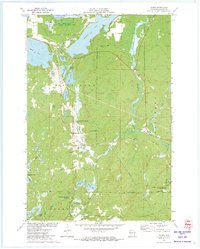 1971 Hauer1973 Print · USGSSawyer County’s lake-country landscape is documented here in the early 1970s, as traditional rail corridors began their transition to conservation trails. Researchers can locate the Wayside Chapel, trace the Soo Line railroad, and explore the vast Billy Boy Flowage.
 - 1971 Map of Reserve, 1974 Print
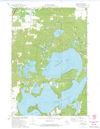 1971 Reserve1974 Print · USGSThe Northwoods of Sawyer County come to life in the early seventies, centered on the historic settlement of Reserve. Genealogists and historians can locate rural landmarks like St Francis Solanus Mission and the shoreline cottages of Northwoods Beach.2 unique versions available
 - 1972 Map of Edgewater, 1975 Print
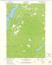 1972 Edgewater1975 Print · USGSSawyer County at the start of the 1970s shows a landscape of deep-water bays and northwoods trails. Genealogists and historians can trace the Old Railroad Grade past Yarnell or locate family sites near Edgewater and Wooddale.
 - 1972 Map of Weirgor, 1975 Print
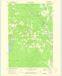 1972 Weirgor1975 Print · USGSSawyer and Rusk Counties are captured in the early seventies, showing a landscape shaped by the Soo Line and the Meteor Hills. Researchers can trace old foundations near Meteor or explore the Weirgor Springs State Wildlife Area.
 - 1980 Map of Spooner
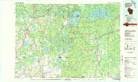 1980 Spooner1980 Print · USGSNorthwestern Wisconsin at the dawn of the eighties reveals a landscape of deep forests and transitioning rail corridors. Genealogists and historians can trace lakefront settlements like Spooner and Birchwood or follow the early Tuscobia-Park Falls State Trail.
 - 2010 Map of Chief Lake, 2010 Print
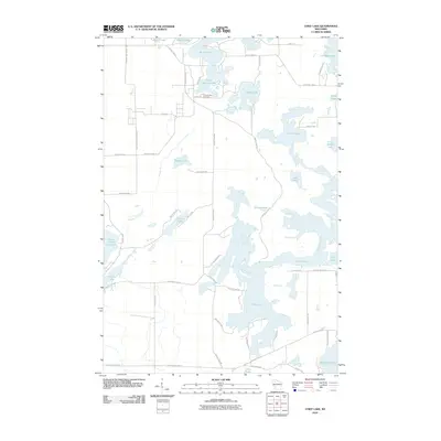 2010 Chief Lake2010 Print · USGSSawyer County’s lake country is captured in the early twenty-first century, showing a landscape defined by water and woods. Genealogists and local historians can trace family locations near Round Lake Cemetery or property lines along Chief Lake and the Chippewa River.
 - 2010 Map of Reserve, 2010 Print
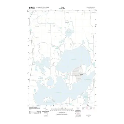 2010 Reserve2010 Print · USGSSawyer County's lakeside character is on full display in the early twenty-first century, centered on the deep waters of Lac Courte Oreilles. Researchers can trace local development in Northwoods Beach and Reserve, or locate landmarks like the Jonjak Dam and Whitefish Lake.
 - 2010 Map of Hauer, 2010 Print
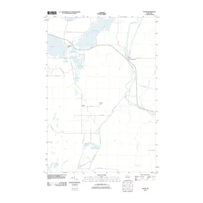 2010 Hauer2010 Print · USGSSawyer County at the start of the 2010s was a landscape defined by its waters and rural crossroad settlements like Hauer. Genealogists and local historians can trace the intricate river-and-lake network including the Couderay River, the Sand Lake Lookout Tower, and Billy Boy Dam.
 - 2010 Map of Couderay, 2010 Print
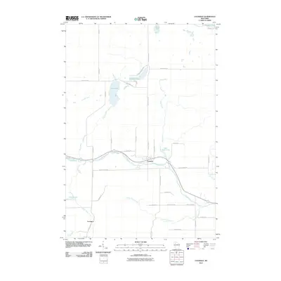 2010 Couderay2010 Print · USGSSawyer County at the start of the 2010s shows a landscape of river-town life and glacial lakes. Local historians can trace the course of the Couderay River between the settlements of Couderay and Lemington, alongside features like Ashegon Lake and Swift Creek.
 - 2010 Map of Edgewater, 2010 Print
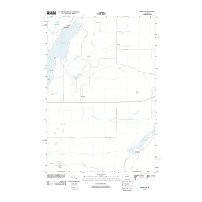 2010 Edgewater2010 Print · USGSThe Northwoods of Sawyer County come into focus in the early 21st century, centered on the lakes and rural outposts near the Couderay River headwaters. Trace local history through the Edgewater Post Office, the shores of Lake Chetac, and the high ground of Meteor Hill.
 - 2010 Map of Weirgor, 2010 Print
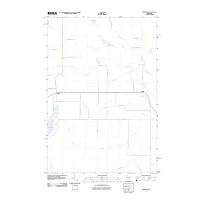 2010 Weirgor2010 Print · USGSSawyer County at the start of the decade is defined by its network of glacial lakes and northern streams. Local historians can trace rural routes and water features like Weirgor Lake, the settlement of Meteor, and the winding path of Swan Creek.
 - 2013 Map of Hauer, 2013 Print
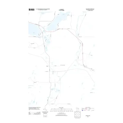 2013 Hauer2013 Print · USGSSawyer County’s lake country is captured here in the early twenty-first century, showing the intricate waterways between Lac Courte Oreilles and the Couderay River. Researchers can trace local landmarks like the Sand Lake Lookout Tower, the small settlement of Hauer, and the varied springs including Benson Spring.
 - 2013 Map of Edgewater, 2013 Print
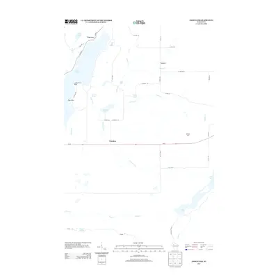 2013 Edgewater2013 Print · USGSThe Sawyer County lake country is captured here in the early twenty-first century, showing the established communities of Edgewater and Wooddale. Researchers can trace old family road names and shoreline landmarks like Indian Point, Pikes Point, and Meteor Hill.
 - 2013 Map of Couderay, 2013 Print
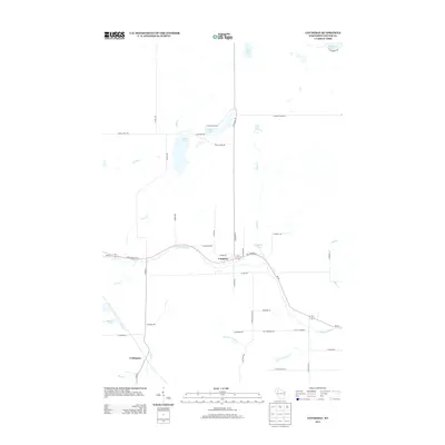 2013 Couderay2013 Print · USGSSawyer County’s Northwoods terrain is shown in detail here during the early twenty-first century, centered on the Couderay River. Genealogists and locals can trace family lands near Couderay and Lemington, or locate landmarks like Eddy Creek Spring.
 - 2013 Map of Chief Lake, 2013 Print
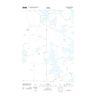 2013 Chief Lake2013 Print · USGSThe interconnected Northwoods waterways of Sawyer County are shown here in the early twenty-first century. Researchers can trace local landmarks and lakefront access points from Chief Lake to the broad expanses of Lake Chippewa and Lac Courte Oreilles.
 - 2013 Map of Reserve, 2013 Print
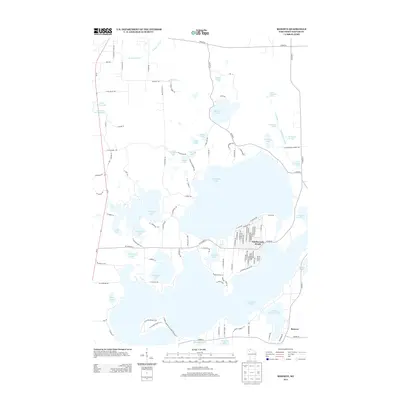 2013 Reserve2013 Print · USGSSawyer County’s intricate lake country is captured here during the early 2010s, showing the established shoreline communities of the Lac Courte Oreilles region. Researchers can trace local development around Northwoods Beach or locate sites near Reserve and Graveyard Springs.
 - 2013 Map of Weirgor, 2013 Print
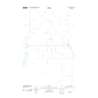 2013 Weirgor2013 Print · USGSSawyer County at the start of the 2010s reveals a landscape defined by glacial springs and small rural settlements. Genealogists and local historians can trace the roads around Meteor and Weirgor, or locate family-named landmarks like Buckhorn Spring and Kitty-Wompus Airport.
Showing maps 1-25 of 43
Top cities near Couderay
- Hayward historical maps
- Edgewater historical maps
- Birchwood historical maps
- Weirgor historical maps
- Ojibwa historical maps
- Murry historical maps
See more
Top neighborhoods of Couderay
Frequently asked questions
- What are the different types of historical maps available for Couderay?
- What is the oldest map of Couderay?
- Where can I purchase historical maps of Couderay for my home or office?
- Where can I download high-res historical maps of Couderay?
- Are there historical topographic maps available for Couderay?
- Is there historical aerial imagery available for Couderay?
- Where are historical maps of Couderay sourced from?