Old Maps of Radisson, Wisconsin for Academic Research
Study the evolution of Radisson with 11 high-resolution historic maps. Whether you're teaching, researching, or modeling changes in land use, these maps provide essential visual documentation of urban, environmental, and geographic change.
- Analyze long-term change: Track patterns in development, transportation, and natural features.
- Ideal for environmental or urban studies: Support academic projects with primary historical map data.
- Use in the classroom or lab: Educators and researchers rely on these maps to bring historical context to life.
These maps are a powerful tool for teaching, research, and visualizing how Radisson has changed over the decades.
Radisson, WI maps
(11)- 1944 Map of Radisson, 1957 Print
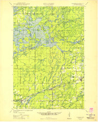
 1944 Radisson1957 Print · USGSSawyer County in the mid-1940s shows a landscape of timber and rail along the Chippewa River. Local historians can trace the Chicago and North Western Railway through Radisson or locate rural landmarks like Hunter Sch and New Post.2 unique versions available
 - 1949 Map of Radisson
 1949 Radisson1949 Print · USGSSawyer County's timber and rail landscape is captured here in the mid-1940s, showing the early development of the Chippewa River valley. Researchers can trace historic local sites like New Post, the Bishop Bridge Sch, and the Chicago and North Western rail line.
 - 1953 Map of Rice Lake, 1967 Print
 1953 Rice Lake1967 Print · USGSNorthwest Wisconsin during the mid-fifties reveals a landscape defined by timber, rail, and water. Genealogists and historians can trace the development of river towns like Ladysmith and Rice Lake along the Soo Line and Chicago and North Western railroads.2 unique versions available
 - 1959 Map of Rice Lake
 1959 Rice Lake1959 Print · USGSNorthwest Wisconsin in the late fifties was a land of expanding road networks and deep-seated timber history. Genealogists and historians can trace rail lines like the Soo Line RR and Chicago St Paul Minneapolis and Omaha Ry as they link settlements from Spooner to Medford.
 - 1972 Map of Radisson, 1975 Print
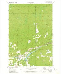 1972 Radisson1975 Print · USGSSawyer County at the start of the 1970s shows a landscape of hydro-power and timber transit. You can locate the Radisson Cemetery, trace the Chicago and North Western rail line, or find local landmarks like Arpin Dam and Pipestone Falls.
 - 1980 Map of Spooner
 1980 Spooner1980 Print · USGSNorthwestern Wisconsin at the dawn of the eighties reveals a landscape of deep forests and transitioning rail corridors. Genealogists and historians can trace lakefront settlements like Spooner and Birchwood or follow the early Tuscobia-Park Falls State Trail.
 - 2010 Map of Radisson, 2010 Print
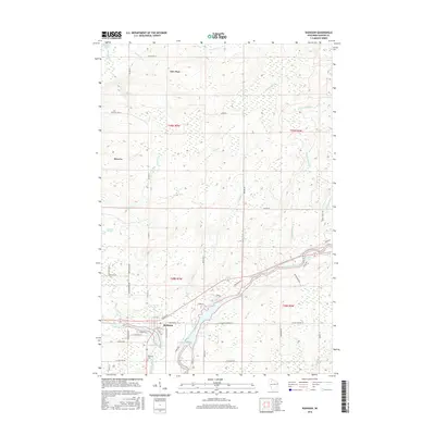
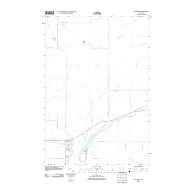 2010 Radisson2010 Print · USGSCovers Radisson, including Ojibwa, Sawyer County, and other nearby areas
 - 2013 Map of Radisson, 2013 Print
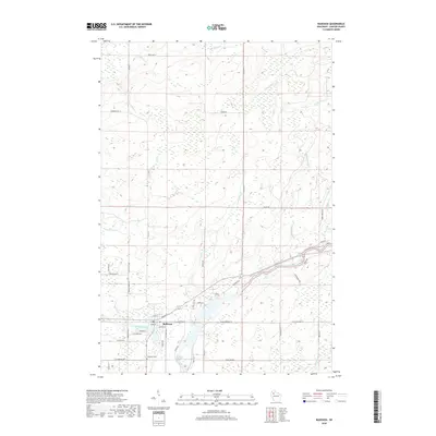
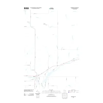 2013 Radisson2013 Print · USGSCovers Radisson, including Ojibwa, Sawyer County, and other nearby areas
 - 2015 Map of Radisson, 2015 Print
 2015 Radisson2015 Print · USGSCovers Radisson, including Ojibwa, Sawyer County, and other nearby areas
 - 2018 Map of Radisson, 2018 Print
 2018 Radisson2018 Print · USGSCovers Radisson, including Ojibwa, Sawyer County, and other nearby areas
 - 2022 Map of Radisson, 2022 Print
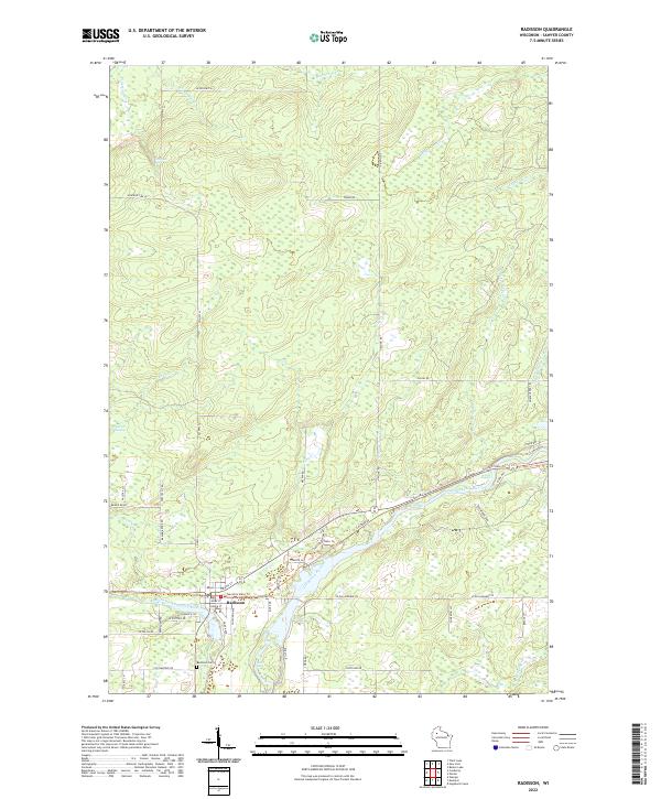 2022 Radisson2022 Print · USGSSawyer County's river valleys and recreational corridors come to life in this recent study of the northern Wisconsin woods. Researchers can trace the town grid of Radisson, follow the Tuscobia State Trl, and locate local landmarks like Radisson Cem and Belille Falls.
End of results
Showing maps 1-11 of 11
Top cities near Radisson
- Thornapple historical maps
- Edgewater historical maps
- Weirgor historical maps
- Winter historical maps
- Ojibwa historical maps
- Murry historical maps
See more
Frequently asked questions
- What are the different types of historical maps available for Radisson?
- What is the oldest map of Radisson?
- Where can I purchase historical maps of Radisson for my home or office?
- Where can I download high-res historical maps of Radisson?
- Are there historical topographic maps available for Radisson?
- Is there historical aerial imagery available for Radisson?
- Where are historical maps of Radisson sourced from?