Old Maps of Seneca, Wisconsin for Hiking & Exploration
Hike through history with 16 historic maps of Seneca. Explore old trails, ghost towns, and forgotten backroads — perfect for outdoor adventurers and local explorers.
- Rediscover forgotten places: Map out old mining camps, roads, and footpaths that no longer exist on modern maps.
- Layer with modern tools: Combine with LiDAR or satellite views to plan hikes through historical terrain.
- Made for exploration: Popular among hikers, overlanders, and local history lovers.
Use these maps to find adventure and explore the hidden past of Seneca.
Seneca, WI maps
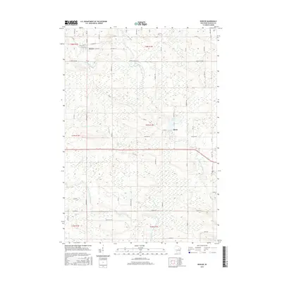
(16)- 1954 Map of Gresham, 1956 Print
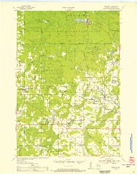 1954 Gresham1956 Print · USGSMid-century Shawano County is captured here at a time when the northern timberlands and southern farmsteads met. Genealogists and historians can trace local landmarks like Mohican Sch, the milling center at Neopit, and several rural churches including Immanuel Ch.
 - 1955 Map of Green Bay, 1968 Print
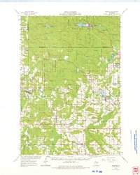
 1955 Green Bay1968 Print · USGSCentral and Eastern Wisconsin are captured here in the mid-fifties, showing the industrial growth of the Fox Valley and Wisconsin River corridors. Genealogists and historians can trace rail lines like the Green Bay and Western through settlements like Weyauwega, Clintonville, and Pulaski.2 unique versions available
 - 1964 Map of Gresham, 1975 Print
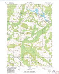
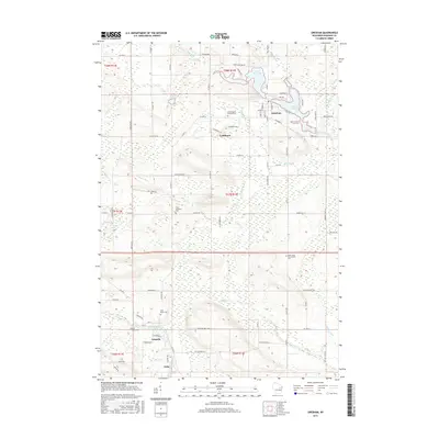
 1964 Gresham1975 Print · USGSMid-century Shawano County is mapped here during a period of transition for its northern timberlands and southern farms. Genealogists and researchers can trace family names through rural landmarks like Hermanfort Sch, St Marys Cem, and Tilleda.
 - 1982 Map of Gresham
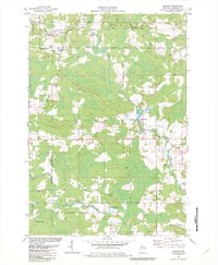
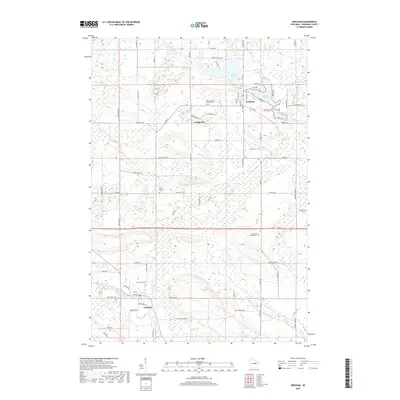
 1982 Gresham1982 Print · USGSIn the early eighties, this Shawano County landscape shows the cultural intersection of the Stockbridge-Munsee Indian Reservation Boundary and rural Wisconsin life. Genealogists can trace family names at St Marys Cem and Riverview Cem or locate the old Chicago and North Western rail corridor.
 - 1982 Map of Bowler
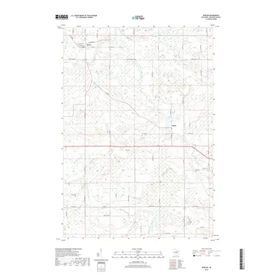
 1982 Bowler1982 Print · USGSShawano County is shown in the early 1980s as a landscape of river branches and rural settlements. Genealogists and local historians can trace family-named routes like Logemann Lane and locate community anchors such as Peace Cem and Bethany Ch.
 - 1984 Map of Shawano, 1985 Print
 1984 Shawano1985 Print · USGSNortheast Wisconsin in the mid-1980s was a landscape defined by its indigenous heritage and the bustling trade centers of the Fox and Wolf River valleys. Genealogists and historians can trace rail corridors like the Chicago and North Western or locate family sites near Keshena, Cecil, and the Fort Howard Cem.2 unique versions available
 - 2010 Map of Gresham, 2010 Print
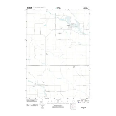 2010 Gresham2010 Print · USGSCovers Seneca, including Pella, Gresham, and other nearby areas
 - 2010 Map of Bowler, 2010 Print
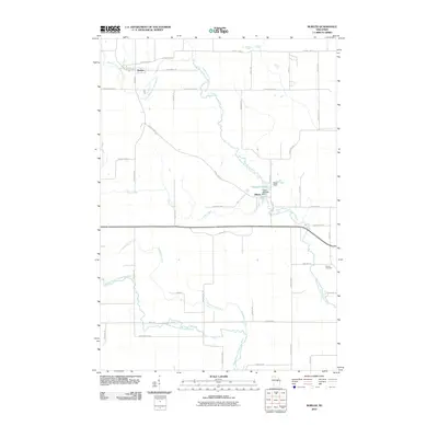 2010 Bowler2010 Print · USGSCovers Seneca, including Almon, Bowler, and other nearby areas
 - 2013 Map of Gresham, 2013 Print
 2013 Gresham2013 Print · USGSCovers Seneca, including Pella, Gresham, and other nearby areas
 - 2013 Map of Bowler, 2013 Print
 2013 Bowler2013 Print · USGSCovers Seneca, including Almon, Bowler, and other nearby areas
 - 2016 Map of Bowler, 2016 Print
 2016 Bowler2016 Print · USGSCovers Seneca, including Almon, Bowler, and other nearby areas
 - 2016 Map of Gresham, 2016 Print
 2016 Gresham2016 Print · USGSCovers Seneca, including Pella, Gresham, and other nearby areas
 - 2018 Map of Gresham, 2018 Print
 2018 Gresham2018 Print · USGSCovers Seneca, including Pella, Gresham, and other nearby areas
 - 2018 Map of Bowler, 2018 Print
 2018 Bowler2018 Print · USGSCovers Seneca, including Almon, Bowler, and other nearby areas
 - 2022 Map of Gresham, 2022 Print
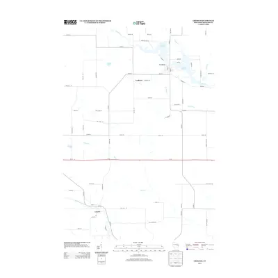
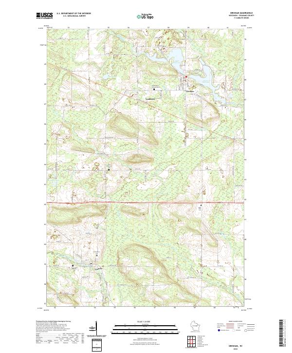 2022 Gresham2022 Print · USGSGresham and the rural surrounds of Shawano County are captured here in the early twenty-first century as the landscape remains tied to its rivers and small settlements. Genealogists can locate family burial sites like Elias Lutheran Cem and trace the paths through Lyndhurst and Leopolis.
 - 2022 Map of Bowler, 2022 Print
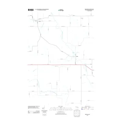
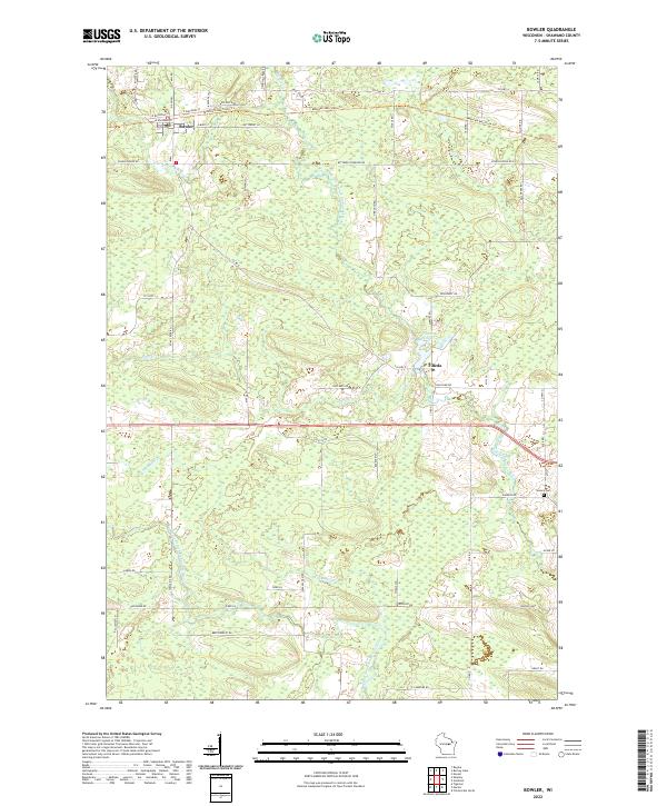 2022 Bowler2022 Print · USGSThe villages of Bowler and Tilleda are mapped here in the early 2020s, showcasing the persistent rural landscape of Shawano County. Researchers can trace the path of the Mountain-Bay State Trl and locate the Seneca Cem or the waters of Tilleda Pond.
End of results
Showing maps 1-16 of 16
Top cities near Seneca
- Clintonville historical maps
- Belle Plaine historical maps
- Marion historical maps
- Wittenberg historical maps
- Wittenberg historical maps
- Pella historical maps
See more
Top neighborhoods of Seneca
Frequently asked questions
- What are the different types of historical maps available for Seneca?
- What is the oldest map of Seneca?
- Where can I purchase historical maps of Seneca for my home or office?
- Where can I download high-res historical maps of Seneca?
- Are there historical topographic maps available for Seneca?
- Is there historical aerial imagery available for Seneca?
- Where are historical maps of Seneca sourced from?