2000s (21st Century) Maps of Trempealeau, Wisconsin
Explore 20 historic maps of Trempealeau from the 2000s (21st Century). These maps offer a rare glimpse into what life looked like during the 2000s — showing old roads, neighborhoods, homes, and landmarks that have changed or disappeared over time.
Whether you're researching your family's past, planning a metal detecting trip, or studying how Trempealeau's landscape evolved across the 2000s, these high-resolution maps are a powerful tool for exploring the history of this region.
- Focus on a specific era: All maps on this page are from the 2000s, giving you a focused view of this time period.
- See what’s changed: Compare century-old streets, trails, and buildings to today's modern landscape using overlays and satellite layers.
- Research with precision: Use these maps for genealogy, historical research, land use analysis, or educational projects.
- View, download, or print: Maps are fully viewable online in high resolution, and can be downloaded or printed for your own records.
Start exploring Trempealeau's history through authentic maps from the 2000s. This is your window into the past.
Trempealeau, WI maps
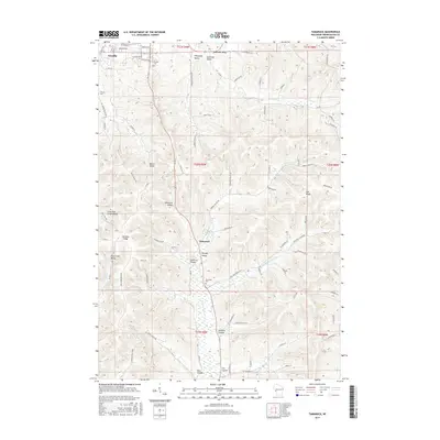
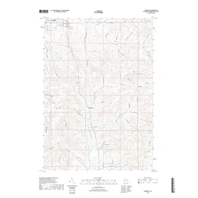
(20)- 2010 Map of Tamarack, 2010 Print
 2010 Tamarack2010 Print · USGSCovers Trempealeau, including Arcadia, Dodge, and other nearby areas
 - 2010 Map of Pickwick, 2010 Print
 2010 Pickwick2010 Print · USGSCovers Trempealeau, including New Hartford, Holland, and other nearby areas
 - 2011 Map of Winona East, 2011 Print
 2011 Winona East2011 Print · USGSCovers Trempealeau, including Winona, Homer, and other nearby areas
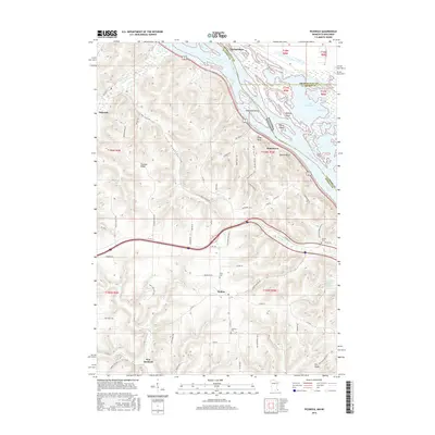
 - 2011 Map of Trempealeau, 2011 Print
 2011 Trempealeau2011 Print · USGSCovers Trempealeau, including Galesville, Dodge, and other nearby areas
 - 2013 Map of Trempealeau, 2013 Print
 2013 Trempealeau2013 Print · USGSCovers Trempealeau, including Galesville, Dodge, and other nearby areas
 - 2013 Map of Tamarack, 2013 Print
 2013 Tamarack2013 Print · USGSCovers Trempealeau, including Arcadia, Dodge, and other nearby areas
 - 2013 Map of Winona East, 2013 Print
 2013 Winona East2013 Print · USGSCovers Trempealeau, including Winona, Homer, and other nearby areas
 - 2013 Map of Pickwick, 2013 Print
 2013 Pickwick2013 Print · USGSCovers Trempealeau, including New Hartford, Holland, and other nearby areas
 - 2015 Map of Trempealeau, 2015 Print
 2015 Trempealeau2015 Print · USGSCovers Trempealeau, including Galesville, Dodge, and other nearby areas
 - 2015 Map of Tamarack, 2015 Print
 2015 Tamarack2015 Print · USGSCovers Trempealeau, including Arcadia, Dodge, and other nearby areas
 - 2016 Map of Winona East, 2016 Print
 2016 Winona East2016 Print · USGSCovers Trempealeau, including Winona, Homer, and other nearby areas
 - 2016 Map of Pickwick, 2016 Print
 2016 Pickwick2016 Print · USGSCovers Trempealeau, including New Hartford, Holland, and other nearby areas
 - 2018 Map of Tamarack, 2018 Print
 2018 Tamarack2018 Print · USGSCovers Trempealeau, including Arcadia, Dodge, and other nearby areas
 - 2018 Map of Trempealeau, 2018 Print
 2018 Trempealeau2018 Print · USGSCovers Trempealeau, including Galesville, Dodge, and other nearby areas
 - 2019 Map of Pickwick, 2019 Print
 2019 Pickwick2019 Print · USGSCovers Trempealeau, including New Hartford, Holland, and other nearby areas
 - 2019 Map of Winona East, 2019 Print
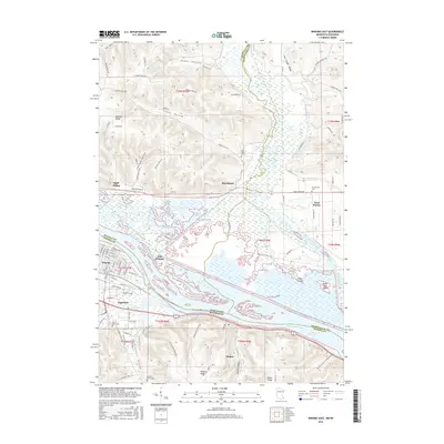
 2019 Winona East2019 Print · USGSCovers Trempealeau, including Winona, Homer, and other nearby areas
 - 2022 Map of Pickwick, 2022 Print
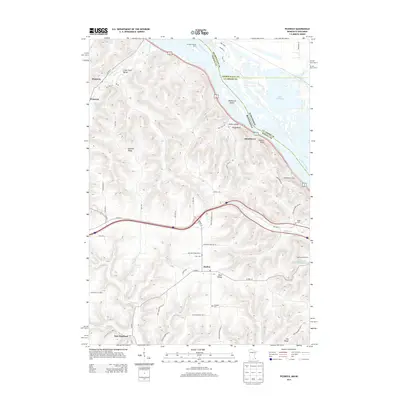
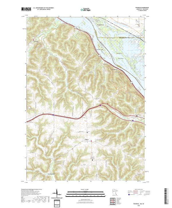 2022 Pickwick2022 Print · USGSThe Mississippi River bluffs in Winona County were well-established by the early twenty-first century, balancing river industry with quiet ridge-top farming. Researchers can find generational landmarks like the Saint John's Evangelical Lutheran Cem and trace the paths of Big Trout Cr through the valley at Pickwick.
 - 2022 Map of Winona East, 2022 Print
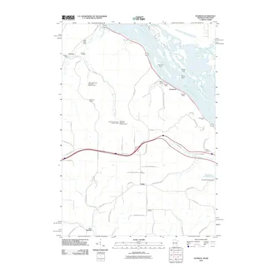
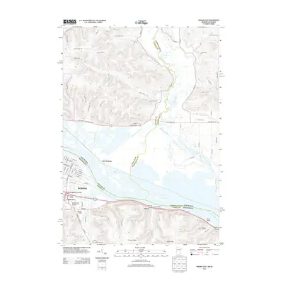
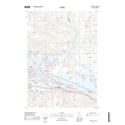
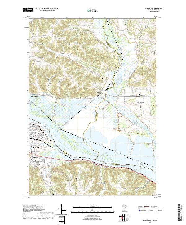 2022 Winona East2022 Print · USGSWinona and the Mississippi River valley are documented in this contemporary survey of the Minnesota-Wisconsin border. Researchers can locate family landmarks such as Saint Mary's Cem of Winona and Piper Valley Cem alongside modern features like Sugarloaf.
 - 2022 Map of Tamarack, 2022 Print
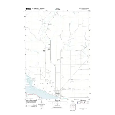
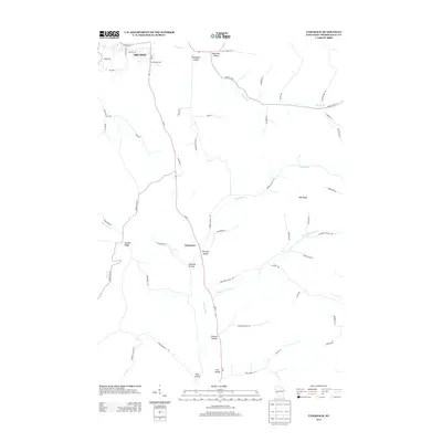
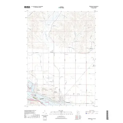
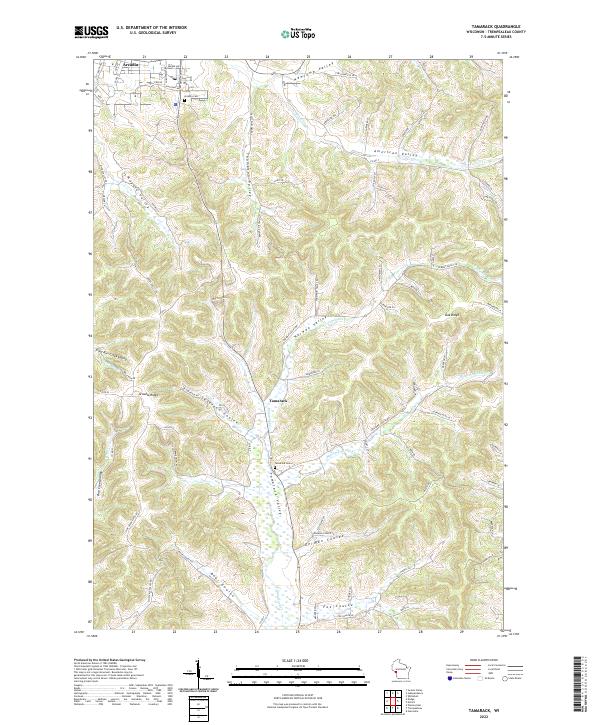 2022 Tamarack2022 Print · USGSThe rolling coulees of Trempealeau County are shown here in recent years, centered on the communities of Arcadia and Tamarack. Local researchers can trace family landmarks and rural homesteads through Bear Coulee, Norway Valley, and the Arcadia Cem.
 - 2022 Map of Trempealeau, 2022 Print
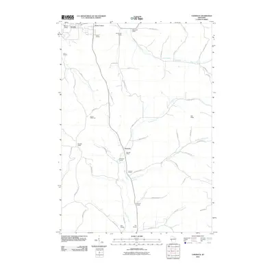
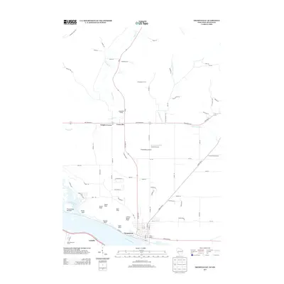
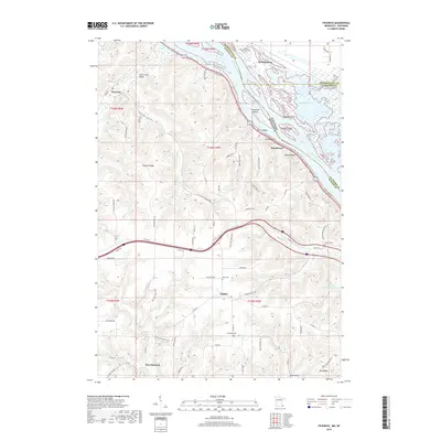
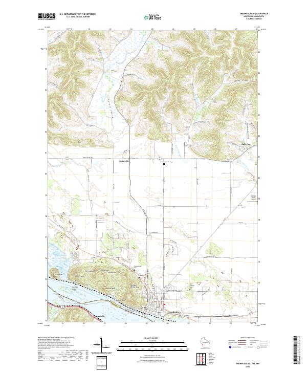 2022 Trempealeau2022 Print · USGSThe Wisconsin-Minnesota borderlands come to life in the 2020s, showing the riverfront village of Trempealeau beneath its famous bluffs. Genealogists can trace family footprints at Old Catholic Cem and Evergreen Cem or locate the Carhart Farms Airport.
End of results
Showing maps 1-20 of 20
Top cities near Trempealeau
- La Crosse historical maps
- Winona historical maps
- Holmen historical maps
- La Crescent historical maps
- Arcadia historical maps
- Goodview historical maps
See more
Top neighborhoods of Trempealeau
Frequently asked questions
- What are the different types of historical maps available for Trempealeau?
- What is the oldest map of Trempealeau?
- Where can I purchase historical maps of Trempealeau for my home or office?
- Where can I download high-res historical maps of Trempealeau?
- Are there historical topographic maps available for Trempealeau?
- Is there historical aerial imagery available for Trempealeau?
- Where are historical maps of Trempealeau sourced from?