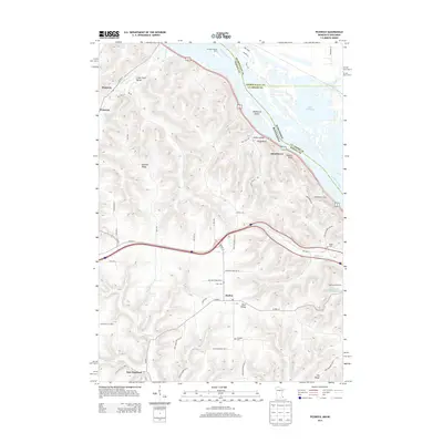
2013 Map of Pickwick
USGS Topo · Published 2013About this map
Pickwick and Nodine anchor this 2013 topographically detailed study along the Mississippi River bluffs, where the state lines of Minnesota and Wisconsin meet. The landscape is defined by deep coulees and ridges, such as Husman Ridge and Pea Ridge, which separate the river valley from the upland farming communities. To the north, the river broadens into Lake Onalaska, while Richmond Island sits near the crossing of Us-14.
Find a feature on this map
59 named features on this map. Tap any name to fly to it.
Don’t see what you’re looking for? This feature index may not catch every label — zoom into the map to look around manually.
Map Details
Editions of this 2013 Pickwick Map
This is the sole edition of this map. No revisions or reprints were ever made.
Other maps of this area

1929 · Fountain City
USGS Topo · 1:62,500

1929 · Galesville
USGS Topo · 1:62,500

1930 · La Crescent
USGS Topo · 1:62,500

1934 · Winona
USGS Topo · 1:62,500

1937 · Winona
USGS Topo · 1:62,500

1953 · Eau Claire
USGS Topo · 1:250,000

1956 · La Crescent
USGS Topo · 1:62,500

1958 · Eau Claire
USGS Topo · 1:250,000

1958 · Houston
USGS Topo · 1:62,500

1958 · La Crosse
USGS Topo · 1:250,000