2020s Maps of Walworth, Wisconsin
Explore 6 historic maps of Walworth from the 2020s. These maps offer a rare glimpse into what life looked like during the 2020s — showing old roads, neighborhoods, homes, and landmarks that have changed or disappeared over time.
Whether you're researching your family's past, planning a metal detecting trip, or studying how Walworth's landscape evolved across the 2020s, these high-resolution maps are a powerful tool for exploring the history of this region.
- Focus on a specific era: All maps on this page are from the 2020s, giving you a focused view of this time period.
- See what’s changed: Compare century-old streets, trails, and buildings to today's modern landscape using overlays and satellite layers.
- Research with precision: Use these maps for genealogy, historical research, land use analysis, or educational projects.
- View, download, or print: Maps are fully viewable online in high resolution, and can be downloaded or printed for your own records.
Start exploring Walworth's history through authentic maps from the 2020s. This is your window into the past.
Walworth, WI maps
(6)- 2021 Map of Harvard, 2021 Print
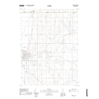 2021 Harvard2021 Print · USGSCovers Walworth, including Harvard, Alden, and other nearby areas
 - 2021 Map of Capron, 2021 Print
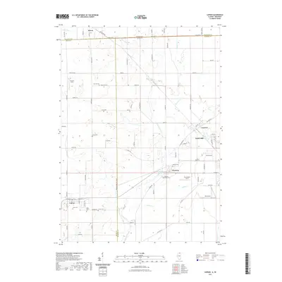 2021 Capron2021 Print · USGSCovers Walworth, including Harvard, Sharon, and other nearby areas
 - 2022 Map of Walworth, 2022 Print
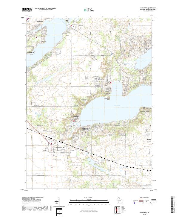 2022 Walworth2022 Print · USGSThe western reaches of Walworth County come to life in this recent survey of the region's prominent lakes and settlements. Researchers can trace family history at Walworth Center Cem or explore the dense residential development around Williams Bay and Fontana.
 - 2022 Map of Sharon, 2022 Print
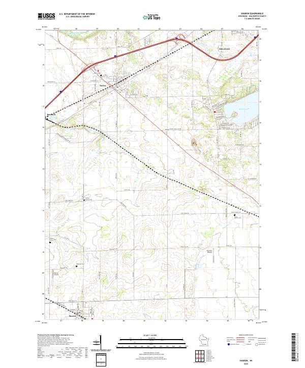 2022 Sharon2022 Print · USGSWalworth County agricultural lands and small-town centers are captured here in the early 2020s. Genealogists and local historians can trace burial sites like Brick Church Cem and Darien Cem, or locate landmarks such as Big Foot Airfield and the shoreline of Delavan Lake.
 - 2024 Map of Capron, 2024 Print
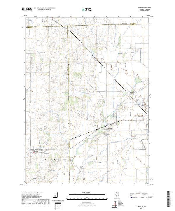 2024 Capron2024 Print · USGSThe Illinois-Wisconsin borderlands come alive in this survey of Boone and McHenry counties during the twenty-first century. Researchers can trace rural lineages through numerous local sites like Capron Cem, Dullam Cem, and the small community of Chemung.
 - 2024 Map of Harvard, 2024 Print
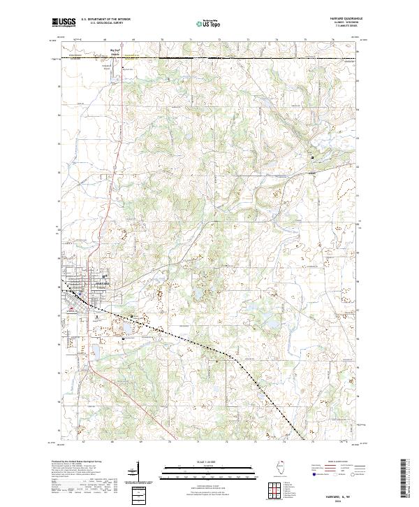 2024 Harvard2024 Print · USGSUpper McHenry County and the Wisconsin border come into focus in the 2020s, showing a landscape defined by prairie agriculture and rural crossroads. Genealogists can trace family sites at Big Foot Cem and Alden Cem, or explore the city streets of Harvard.
End of results
Showing maps 1-6 of 6
Top cities near Walworth
- Woodstock historical maps
- Harvard historical maps
- Elkhorn historical maps
- Delavan historical maps
- Lake Geneva historical maps
- East Troy historical maps
See more
Top neighborhoods of Walworth
Frequently asked questions
- What are the different types of historical maps available for Walworth?
- What is the oldest map of Walworth?
- Where can I purchase historical maps of Walworth for my home or office?
- Where can I download high-res historical maps of Walworth?
- Are there historical topographic maps available for Walworth?
- Is there historical aerial imagery available for Walworth?
- Where are historical maps of Walworth sourced from?