Old Maps of Walworth, Wisconsin for Genealogy
Trace your family roots with 34 historic maps of Walworth. These high-res maps reveal old neighborhoods, homesites, landmarks, and streets — helping you uncover where your ancestors lived and how the area evolved over time.
- Explore historic neighborhoods: Identify where your relatives may have lived in the 1800s or 1900s.
- Compare maps over time: Trace the changes in streets, buildings, and landmarks for multi-generational research.
- Perfect for genealogy & ancestry research: Used by family historians and researchers to map out lineage and migration.
These maps are an incredible resource for exploring your personal connection to Walworth's past.
Walworth, WI maps
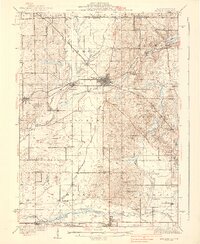
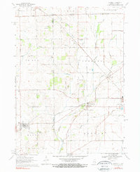
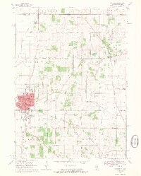
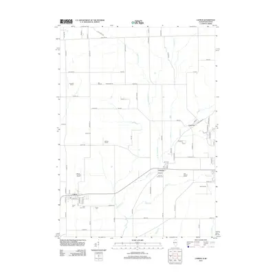
(34)- 1893 Map of Delavan
 1893 Delavan1893 Print · USGSWalworth County at the close of the nineteenth century reveals a landscape of growing lakefront communities and vital rail junctions. Genealogists and historians can trace the early footprints of Delavan, Elkhorn, and Sharon, alongside lakeside landmarks like Williams Bay and Fontana.6 unique versions available
 - 1932 Map of Harvard
 1932 Harvard1932 Print · USGSNorthern Illinois and the Wisconsin borderlands are captured here in the early 1930s, centered on the rail hub of Harvard. Genealogists can locate dozens of named rural schools like Hoppen School and Shields School, or trace the path of the Chicago and Northwestern Electric (Abandoned) line.3 unique versions available
 - 1937 Map of Harvard
 1937 Harvard1937 Print · USGSUpper Illinois and the Wisconsin borderlands are shown here in the mid-1930s, centered on the bustling rail junction at Harvard. Genealogists can trace family footprints across dozens of country schoolhouse sites like White Oak Sch and the rural cemeteries of Dunham township.2 unique versions available
 - 1954 Map of Rockford
 1954 Rockford1954 Print · USGSThe Rock River valley and the Illinois-Wisconsin borderlands are captured here in the mid-1950s during a period of robust industrial and agricultural activity. Genealogists and historians can trace rail-era corridors like the Illinois Central RR and locate landmarks from Big Foot Prairie to Lake Geneva.
 - 1955 Map of Rockford
 1955 Rockford1955 Print · USGSThe Rock River valley and southern Wisconsin dairy country are shown here in the mid-fifties as the region's manufacturing centers grew. Genealogists and historians can trace the paths of the Chicago and North Western RR and Illinois Central RR through hubs like Rockford and Beloit.
 - 1958 Map of Rockford, 1974 Print
 1958 Rockford1974 Print · USGSNorthern Illinois and southern Wisconsin are shown here in the mid-twentieth century as rail-dependent industrial towns began to interface with growing lakefront communities. Genealogists can trace family roots through settlements like Saylesville and Tess Corners or locate historical landmarks like the Rockford Ordnance Depot.4 unique versions available
 - 1960 Map of Delavan, 1962 Print
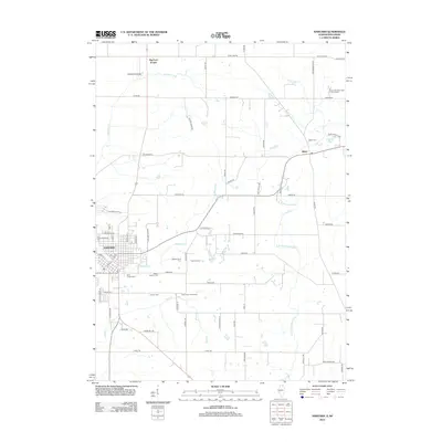
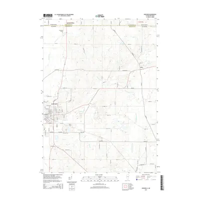
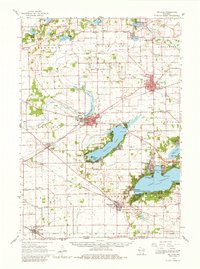 1960 Delavan1962 Print · USGSWalworth County’s lake country is captured here in the early sixties, showing a landscape of summer resorts and established prairie towns. Researchers can locate family landmarks like Hollister Cem or trace the grounds of the Yerkes Observatory and County Fairground.2 unique versions available
 - 1960 Map of Walworth, 1964 Print
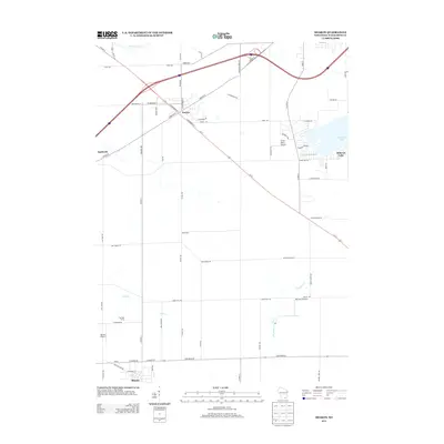
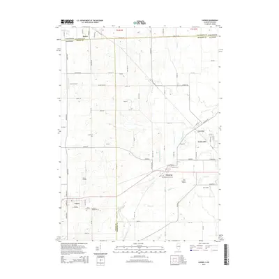
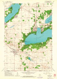 1960 Walworth1964 Print · USGSLake Geneva and Delavan Lake were established summer retreats by the early sixties, surrounded by prestigious academies and observatories. Genealogists and local historians can locate rural landmarks like Cobblestone Cem, Big Foot High Sch, and the Yerkes Observatory.3 unique versions available
 - 1960 Map of Sharon, 1964 Print
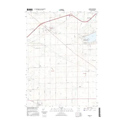
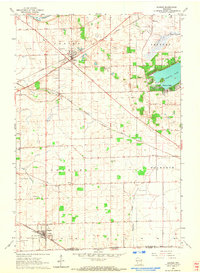 1960 Sharon1964 Print · USGSSouthern Wisconsin farm country and rail hubs are captured here at the start of the 1960s. Genealogists can trace family footprints across North Sharon Cem, South Grove Cem, and rural schoolhouses like Salt Box Sch or Red Sch.3 unique versions available
 - 1963 Map of Rockford
 1963 Rockford1963 Print · USGSThe mid-century industrial corridor along the Rock River is shown here during a period of rapid post-war growth. Researchers can trace the extensive rail lines of the Chicago and North Western or locate local landmarks like the Rockford Ordnance Depot and Holy Hill.
 - 1970 Map of Capron, 1972 Print
 1970 Capron1972 Print · USGSThe Illinois-Wisconsin borderlands are captured here in the early seventies, showing a landscape of established farmsteads and rail-linked villages. Genealogists can locate family sites at Burr Oak Cem, Chester Cem, or the rural community of Lawrence.3 unique versions available
 - 1970 Map of Harvard, 1972 Print
 1970 Harvard1972 Print · USGSThe Illinois-Wisconsin state line meets the industrial rail hub of Harvard during the early 1970s. Trace the Chicago and North Western rail corridor and find local landmarks like Mt Auburn Cemetery and the rural community of Alden.2 unique versions available
 - 1980 Map of Lake Geneva, 1981 Print
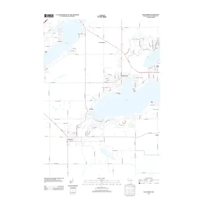
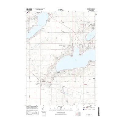
 1980 Lake Geneva1981 Print · USGSSoutheastern Wisconsin at the start of the eighties reveals a landscape of glacial moraines and established lakefront resorts. Researchers can trace historic rail lines like the Chicago and North Western RR or locate landmarks such as Yerkes Observatory and East Lawn Cem.
 - 1981 Map of Elgin
 1981 Elgin1981 Print · USGSNorthern Illinois and southern Wisconsin are shown in the early eighties as suburban growth meets glacial terrain. Trace the paths of the Milwaukee Road through Harvard or explore the wetlands of Volo Bog State Natural Area.
 - 2010 Map of Sharon, 2010 Print
 2010 Sharon2010 Print · USGSCovers Walworth, including Delavan, Darien, and other nearby areas
 - 2010 Map of Walworth, 2010 Print
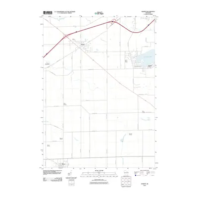
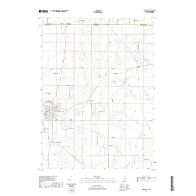
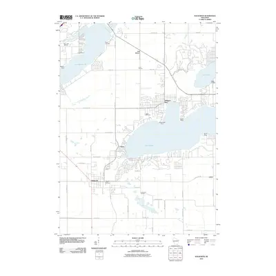 2010 Walworth2010 Print · USGSCovers Walworth, including Delavan, Williams Bay, and other nearby areas
 - 2012 Map of Capron, 2012 Print
 2012 Capron2012 Print · USGSCovers Walworth, including Harvard, Sharon, and other nearby areas
 - 2012 Map of Harvard, 2012 Print
 2012 Harvard2012 Print · USGSCovers Walworth, including Harvard, Alden, and other nearby areas
 - 2013 Map of Sharon, 2013 Print
 2013 Sharon2013 Print · USGSCovers Walworth, including Delavan, Darien, and other nearby areas
 - 2013 Map of Walworth, 2013 Print
 2013 Walworth2013 Print · USGSCovers Walworth, including Delavan, Williams Bay, and other nearby areas
 - 2015 Map of Capron, 2015 Print
 2015 Capron2015 Print · USGSCovers Walworth, including Harvard, Sharon, and other nearby areas
 - 2015 Map of Harvard, 2015 Print
 2015 Harvard2015 Print · USGSCovers Walworth, including Harvard, Alden, and other nearby areas
 - 2016 Map of Sharon, 2016 Print
 2016 Sharon2016 Print · USGSCovers Walworth, including Delavan, Darien, and other nearby areas
 - 2016 Map of Walworth, 2016 Print
 2016 Walworth2016 Print · USGSCovers Walworth, including Delavan, Williams Bay, and other nearby areas
 - 2018 Map of Harvard, 2018 Print
 2018 Harvard2018 Print · USGSCovers Walworth, including Harvard, Alden, and other nearby areas
Showing maps 1-25 of 34
Top cities near Walworth
- Woodstock historical maps
- Harvard historical maps
- Elkhorn historical maps
- Delavan historical maps
- Lake Geneva historical maps
- East Troy historical maps
See more
Top neighborhoods of Walworth
Frequently asked questions
- What are the different types of historical maps available for Walworth?
- What is the oldest map of Walworth?
- Where can I purchase historical maps of Walworth for my home or office?
- Where can I download high-res historical maps of Walworth?
- Are there historical topographic maps available for Walworth?
- Is there historical aerial imagery available for Walworth?
- Where are historical maps of Walworth sourced from?