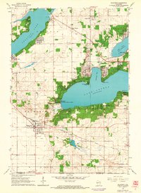
1960 Map of Walworth
USGS Topo · Published 1964About this map
Lake Geneva and Lake Delavan anchor this mid-century portrait of southern Wisconsin lake country. The map showcases the sophisticated recreational and institutional landscape of the early 1960s, notably the sprawling grounds of the Northwestern Military & Naval Academy and the world-renowned Yerkes Observatory overlooking Williams Bay. The era’s transportation network is clearly defined, with the Chicago and North Western and the Chicago Milwaukee St Paul and Pacific railroads serving the lakeside communities.
Find a feature on this map
39 named features on this map. Tap any name to fly to it.
Don’t see what you’re looking for? This feature index may not catch every label — zoom into the map to look around manually.
Map Details
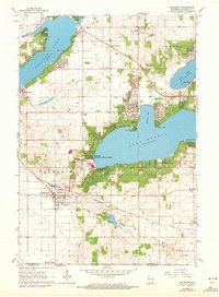
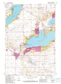
Editions of this 1960 Walworth Map
3 editions found
Other maps of this area

1893 · Delavan
USGS Topo · 1:62,500

1893 · Geneva
USGS Topo · 1:62,500

1904 · Lake Geneva
USGS Topo · 1:62,500

1906 · Lake Geneva
USGS Topo · 1:62,500

1926 · Mc Henry
USGS Topo · 1:62,500

1932 · Harvard
USGS Topo · 1:48,000

1937 · Harvard
USGS Topo · 1:62,500

1944 · McHenry
USGS Topo · 1:62,500

1954 · Rockford
USGS Topo · 1:250,000

1955 · Rockford
USGS Topo · 1:250,000