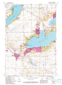
1960 Map of Walworth
USGS Topo · Published 1994About this map
Lake Geneva and Delavan Lake dominate this mid-century portrait of Walworth County, Wisconsin. The landscape is defined by its recreation and education heritage, featuring the prominent Yerkes Observatory overlooking the water and the Northwestern Military & Naval Academy on the southern shore of the lake. The established resort character of the area is evident in the numerous Golf Course locations and the clustering of settlements like Fontana and Williams Bay.
Find a feature on this map
41 named features on this map. Tap any name to fly to it.
Don’t see what you’re looking for? This feature index may not catch every label — zoom into the map to look around manually.
Map Details
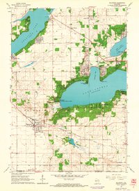
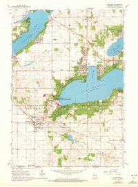
Editions of this 1960 Walworth Map
3 editions found
Other maps of this area

1893 · Delavan
USGS Topo · 1:62,500

1893 · Geneva
USGS Topo · 1:62,500

1904 · Lake Geneva
USGS Topo · 1:62,500

1906 · Lake Geneva
USGS Topo · 1:62,500

1926 · Mc Henry
USGS Topo · 1:62,500

1932 · Harvard
USGS Topo · 1:48,000

1937 · Harvard
USGS Topo · 1:62,500

1944 · McHenry
USGS Topo · 1:62,500

1954 · Rockford
USGS Topo · 1:250,000

1955 · Rockford
USGS Topo · 1:250,000