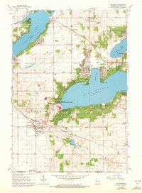
1960 Map of Walworth
USGS Topo · Published 1972About this map
Yerkes Observatory stands as a prominent landmark on the northern shores of Lake Geneva, anchoring a landscape defined by its deep glacial lakes and late 20th-century development. The map reveals the specialized institutional character of the region, from the Northwestern Military & Naval Academy near Black Point to the State Reservation in the northeast. Transportation and utility networks are clearly defined, showing the Chicago Milwaukee St Paul and Pacific railroad line passing through Walworth and a major north-south pipeline cutting across the southern prairie. Local genealogy is well-supported by the presence of numerous rural schools like Reek Sch and Mickle Sch, alongside well-established burial grounds such as Union Cem and Cobblestone Cem. This survey also documents the leisure-oriented growth around Fontana and Williams Bay, including several golf courses and a drive-in theater.
Find a feature on this map
43 named features on this map. Tap any name to fly to it.
Don’t see what you’re looking for? This feature index may not catch every label — zoom into the map to look around manually.
Map Details
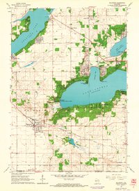
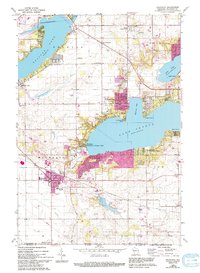
Editions of this 1960 Walworth Map
3 editions found
Other maps of this area

1893 · Delavan
USGS Topo · 1:62,500

1893 · Geneva
USGS Topo · 1:62,500

1904 · Lake Geneva
USGS Topo · 1:62,500

1906 · Lake Geneva
USGS Topo · 1:62,500

1926 · Mc Henry
USGS Topo · 1:62,500

1932 · Harvard
USGS Topo · 1:48,000

1937 · Harvard
USGS Topo · 1:62,500

1944 · McHenry
USGS Topo · 1:62,500

1954 · Rockford
USGS Topo · 1:250,000

1955 · Rockford
USGS Topo · 1:250,000