Old Maps of Muskego, Wisconsin for Academic Research
Study the evolution of Muskego with 32 high-resolution historic maps. Whether you're teaching, researching, or modeling changes in land use, these maps provide essential visual documentation of urban, environmental, and geographic change.
- Analyze long-term change: Track patterns in development, transportation, and natural features.
- Ideal for environmental or urban studies: Support academic projects with primary historical map data.
- Use in the classroom or lab: Educators and researchers rely on these maps to bring historical context to life.
These maps are a powerful tool for teaching, research, and visualizing how Muskego has changed over the decades.
Muskego, WI maps
(32)- 1891 Map of Muskego, 1896 Print
 1891 Muskego1896 Print · USGSSoutheast Wisconsin in the early 1890s was a landscape of expansive lake systems and rural townships connected by early rail and river routes. Genealogists can trace family holdings and vanished crossroads like Big Bend, Prospect Hill, and Denoon.
 - 1901 Map of Muskego
 1901 Muskego1901 Print · USGSSoutheastern Wisconsin at the close of the nineteenth century was a landscape of budding dairy hubs and interconnected glacial lakes. Researchers can trace early rural life across these townships, finding legacy sites like Union Church, the path of the Wisconsin Central Railroad, and original footprints for Tess Corners and Big Bend.4 unique versions available
 - 1954 Map of Rockford
 1954 Rockford1954 Print · USGSThe Rock River valley and the Illinois-Wisconsin borderlands are captured here in the mid-1950s during a period of robust industrial and agricultural activity. Genealogists and historians can trace rail-era corridors like the Illinois Central RR and locate landmarks from Big Foot Prairie to Lake Geneva.
 - 1955 Map of Rockford
 1955 Rockford1955 Print · USGSThe Rock River valley and southern Wisconsin dairy country are shown here in the mid-fifties as the region's manufacturing centers grew. Genealogists and historians can trace the paths of the Chicago and North Western RR and Illinois Central RR through hubs like Rockford and Beloit.
 - 1958 Map of Rockford, 1974 Print
 1958 Rockford1974 Print · USGSNorthern Illinois and southern Wisconsin are shown here in the mid-twentieth century as rail-dependent industrial towns began to interface with growing lakefront communities. Genealogists can trace family roots through settlements like Saylesville and Tess Corners or locate historical landmarks like the Rockford Ordnance Depot.4 unique versions available
 - 1959 Map of North Cape, 1960 Print
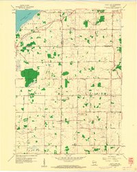 1959 North Cape1960 Print · USGSSoutheast Wisconsin farming townships at the end of the fifties show a landscape of small rural crossroads and family homesteads. Genealogists can locate legacy sites like Union Church, Oak Grove Cem, and several local schools from Apple Sch to Garfield Sch.3 unique versions available
 - 1959 Map of Hales Corners, 1960 Print
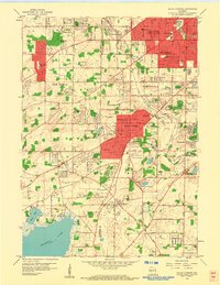 1959 Hales Corners1960 Print · USGSThe suburban and rural landscape southwest of Milwaukee is frozen in time during the late fifties, as traditional farms meet post-war growth. Researchers can trace the legacy of local institutions and small hubs like St Martins, Tess Corners, and the Sacred Heart Monastery.4 unique versions available
 - 1959 Map of Muskego, 1960 Print
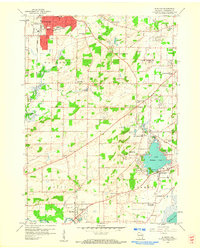 1959 Muskego1960 Print · USGSWaukesha County at the end of the fifties shows a landscape of developing towns and rural school districts before heavy suburbanization. Genealogists can locate family sites near Prairie Home Cemetery, Prospect Hill Sch, and the old Vernon Ch.4 unique versions available
 - 1959 Map of Waterford, 1960 Print
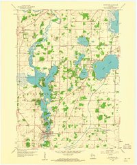 1959 Waterford1960 Print · USGSWaterford and the surrounding Fox River valley are captured in the late fifties as lakeside communities and rural drainage networks reshaped the terrain. Genealogists and local historians can trace family ties at Rural Home Cem, visit the site of the Colonel Heg Sch, or explore the mid-century streets of Tichigan.4 unique versions available
 - 1959 Map of Hales Corners, 1980 Print
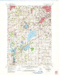 1959 Hales Corners1980 Print · USGSSoutheast Wisconsin in the late fifties is captured here during its transition from rural lake country to suburban centers. Researchers can trace family sites at Durham Cem, locate early airfields like Rainbow Airport, or study the grounds of Heg Memorial Park.
 - 1963 Map of Rockford
 1963 Rockford1963 Print · USGSThe mid-century industrial corridor along the Rock River is shown here during a period of rapid post-war growth. Researchers can trace the extensive rail lines of the Chicago and North Western or locate local landmarks like the Rockford Ordnance Depot and Holy Hill.
 - 1980 Map of Lake Geneva, 1981 Print
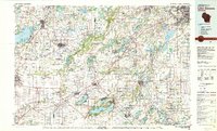 1980 Lake Geneva1981 Print · USGSSoutheastern Wisconsin at the start of the eighties reveals a landscape of glacial moraines and established lakefront resorts. Researchers can trace historic rail lines like the Chicago and North Western RR or locate landmarks such as Yerkes Observatory and East Lawn Cem.
 - 2010 Map of Hales Corners, 2010 Print
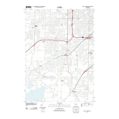 2010 Hales Corners2010 Print · USGSHales Corners and the surrounding Milwaukee suburbs are shown here in the early twenty-first century, balancing residential growth with large parklands. Genealogists and local historians can locate Holy Apostles Cemetery, the Hales Corners Speedway, and the settlement at Saint Martins.
 - 2010 Map of North Cape, 2010 Print
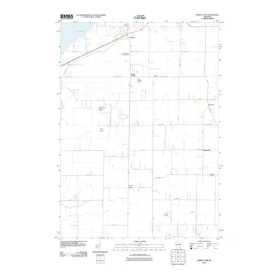 2010 North Cape2010 Print · USGSSoutheastern Wisconsin's farming heartland and private aviation hubs are captured here in the early twenty-first century. Family history researchers can locate several rural burial grounds like Luther Parker Cemetery and Salem Cemetery or trace the early crossroad settlements of North Cape and Durham.
 - 2010 Map of Waterford, 2010 Print
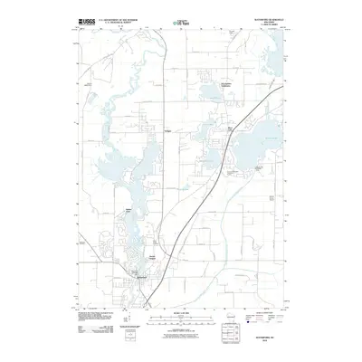 2010 Waterford2010 Print · USGSWisconsin's lake-rich corridor between the Fox River and Wind Lake is documented here in the early twenty-first century. Genealogists and local historians can trace burial sites at Saint Peters Cemetery or explore the residential growth of Tichigan and Harbor Heights.
 - 2010 Map of Muskego, 2010 Print
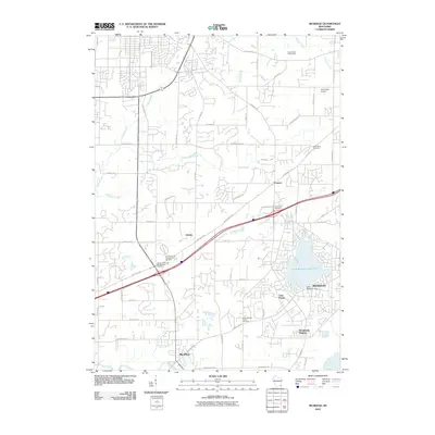 2010 Muskego2010 Print · USGSMuskego and its neighboring townships are captured here during a period of suburban expansion into the Wisconsin countryside. Genealogists can trace family histories through numerous sites like Sunnyside Cemetery, Big Bend, and the Little Muskego Dam.
 - 2013 Map of Muskego, 2013 Print
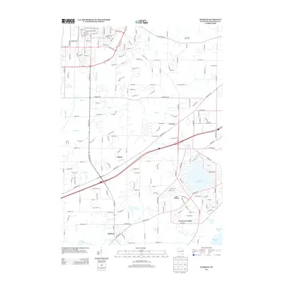 2013 Muskego2013 Print · USGSMuskego and the surrounding Waukesha County lake country are captured here in the early twenty-first century as suburban growth integrates with the area's natural hydrology. Researchers can trace local landmarks like Faken Airport, the community of Prospect, and the residential layouts of Woodcrest Heights and Lake Forest.
 - 2013 Map of Waterford, 2013 Print
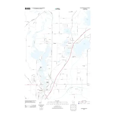 2013 Waterford2013 Print · USGSSoutheast Wisconsin's lake country is captured here during a period of significant residential and water-management development. Local historians can trace the intricate shorelines of Tichigan and Wind Lake, or locate neighborhood landmarks in Buena Park and Harbor Heights.
 - 2013 Map of North Cape, 2013 Print
 2013 North Cape2013 Print · USGSSoutheast Wisconsin’s rural landscape is captured here in the early 2000s, showing the intersection of farmland and suburban expansion. Researchers can trace the layout of small settlements like Union Church and North Cape or locate local airfields like Valhalla Airport.
 - 2013 Map of Hales Corners, 2013 Print
 2013 Hales Corners2013 Print · USGSCovers Muskego, including Milwaukee, West Allis, and other nearby areas
 - 2016 Map of North Cape, 2016 Print
 2016 North Cape2016 Print · USGSThe borderlands of Racine and Milwaukee counties come into focus in the mid-2010s, showing a landscape of old settlements and small airfields. Genealogists can trace family roots at Luther Parker Cem or McPherson Cem near North Cape.
 - 2016 Map of Waterford, 2016 Print
 2016 Waterford2016 Print · USGSThe Fox River corridor south of Big Bend is captured here in the mid-2010s, showcasing a landscape of glacial lakes and riverfront settlements. Researchers can trace local lineage at Saint Peters Cem and explore the historic layout of Waterford and Rochester.
 - 2016 Map of Hales Corners, 2016 Print
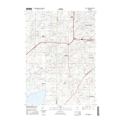 2016 Hales Corners2016 Print · USGSGreater Milwaukee’s southwestern suburbs show a blend of modern residential expansion and traditional community hubs in this mid-2010s survey. Genealogists and local historians can trace legacy sites like Tess Corners, Saint Martins, and the Holy Apostles Cemetery.
 - 2016 Map of Muskego, 2016 Print
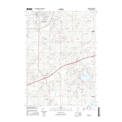 2016 Muskego2016 Print · USGSSoutheast Waukesha County is documented here during a period of transition between its rural roots and growing residential centers. Researchers can locate family sites near the Vernon United Presbyterian Cemetery or trace the early paths of Guthrie and Big Bend along the Fox River.
 - 2018 Map of Hales Corners, 2018 Print
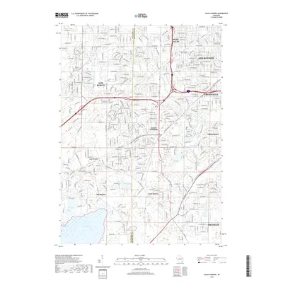 2018 Hales Corners2018 Print · USGSThe southwestern Milwaukee suburbs meet the Waukesha County line in this recent survey of a rapidly developing lake-and-river landscape. Local historians can trace the foundations of Tess Corners and Saint Martins alongside landmarks like Saint-Pauls Lutheran Cem.
Showing maps 1-25 of 32
Top cities near Muskego
- Milwaukee historical maps
- Waukesha historical maps
- West Allis historical maps
- Wauwatosa historical maps
- Brookfield historical maps
- New Berlin historical maps
See more
Top neighborhoods of Muskego
- Tess Corners historical maps
- Durhamswood historical maps
- Glen Oaks Estates historical maps
- Lake Forest historical maps
- McLaughlins Subdivision historical maps
- Woodcrest Heights historical maps
See more
Frequently asked questions
- What are the different types of historical maps available for Muskego?
- What is the oldest map of Muskego?
- Where can I purchase historical maps of Muskego for my home or office?
- Where can I download high-res historical maps of Muskego?
- Are there historical topographic maps available for Muskego?
- Is there historical aerial imagery available for Muskego?
- Where are historical maps of Muskego sourced from?