2010s Maps of Oconomowoc, Wisconsin
Explore 16 historic maps of Oconomowoc from the 2010s. These maps offer a rare glimpse into what life looked like during the 2010s — showing old roads, neighborhoods, homes, and landmarks that have changed or disappeared over time.
Whether you're researching your family's past, planning a metal detecting trip, or studying how Oconomowoc's landscape evolved across the 2010s, these high-resolution maps are a powerful tool for exploring the history of this region.
- Focus on a specific era: All maps on this page are from the 2010s, giving you a focused view of this time period.
- See what’s changed: Compare century-old streets, trails, and buildings to today's modern landscape using overlays and satellite layers.
- Research with precision: Use these maps for genealogy, historical research, land use analysis, or educational projects.
- View, download, or print: Maps are fully viewable online in high resolution, and can be downloaded or printed for your own records.
Start exploring Oconomowoc's history through authentic maps from the 2010s. This is your window into the past.
Oconomowoc, WI maps
(16)- 2010 Map of Ixonia, 2010 Print
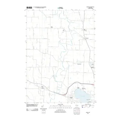 2010 Ixonia2010 Print · USGSThe Rock River valley in the early 2000s reveals a patchwork of established dairy-country settlements and historic burial grounds. Researchers can trace family sites at Old Ashippun, Monterey, and the Monterey Methodist Episcopal Cemetery.
 - 2010 Map of Oconomowoc West, 2010 Print
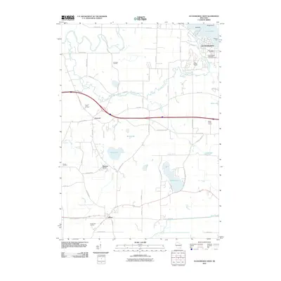 2010 Oconomowoc West2010 Print · USGSWaukesha County at the start of the 2010s reveals a mosaic of historic settlements and glacial lakes shaped by the Oconomowoc River. Researchers can trace local heritage through landmarks like the Pioneer Cemetery, the Oconomowoc Post Office, and rural airfields such as McDermott Air Park.
 - 2010 Map of Oconomowoc East, 2010 Print
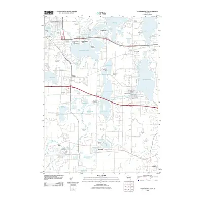 2010 Oconomowoc East2010 Print · USGSWaukesha County’s lake country is captured in the early twenty-first century, showing the dense network of settlements and glacial waters. Genealogists and local historians can trace burial sites like La Belle Cemetery or explore landmarks such as the Bark River Airport and University Lake School.
 - 2010 Map of Stonebank, 2010 Print
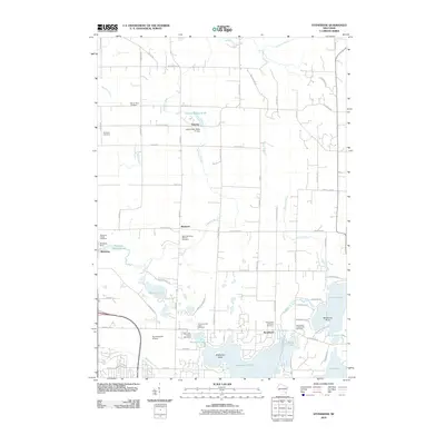 2010 Stonebank2010 Print · USGSThe lake country of Waukesha County is captured here in the early twenty-first century, showing the enduring rural character of Stonebank and Mapleton. Researchers can locate numerous local burial sites like Mount Hope Cemetery and trace the history of water power at the Monterey Dam.
 - 2013 Map of Oconomowoc West, 2013 Print
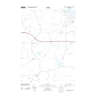 2013 Oconomowoc West2013 Print · USGSSoutheast Wisconsin's lake country is captured here in the early twenty-first century, showing the established communities and interconnected waterways of Waukesha County. Researchers can locate small airfields like McDermott Air Park and lakeside settlements from Islandale to Sullivan.
 - 2013 Map of Oconomowoc East, 2013 Print
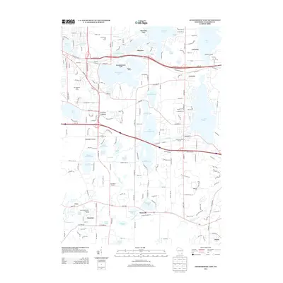 2013 Oconomowoc East2013 Print · USGSWaukesha County's lake country is captured here in the early twenty-first century, showcasing a landscape defined by glacial hydrology and residential growth. Researchers can trace the path of the Ice Age Natl Scenic Trl near Lapham Hill or locate old community centers like Waterville and Summit Corners.
 - 2013 Map of Ixonia, 2013 Print
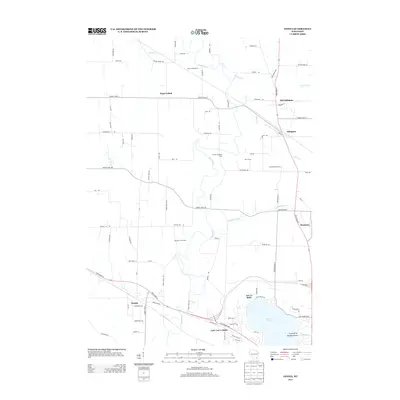 2013 Ixonia2013 Print · USGSIxonia and the surrounding dairy lands of Jefferson County are captured here in the early 2010s. Genealogists and local historians can trace family-named operations like Bara Farms and Crescentmead Farm alongside the waters of the Rock River and Ashippun River.
 - 2013 Map of Stonebank, 2013 Print
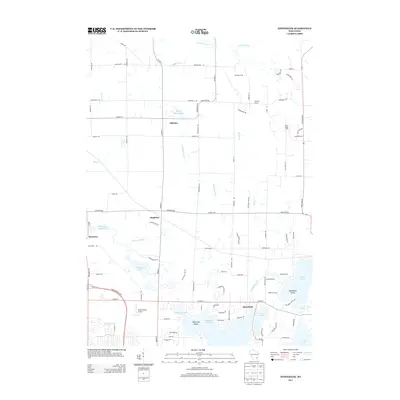 2013 Stonebank2013 Print · USGSWaukesha County's lake country is detailed here at a time of suburban growth among historic mill sites. Researchers can trace the water-powered roots of Monterey Millpond or locate local landmarks like Oconomowoc Airport and Twilight Farms.
 - 2015 Map of Oconomowoc West, 2015 Print
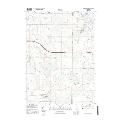 2015 Oconomowoc West2015 Print · USGSWaukesha and Jefferson counties come alive in the mid-2010s, showing the western growth of Oconomowoc alongside rural crossroads. Genealogists and historians can locate family burial sites at Norwegian Cem and trace the paths of the Bark River and Rock River.
 - 2015 Map of Stonebank, 2015 Print
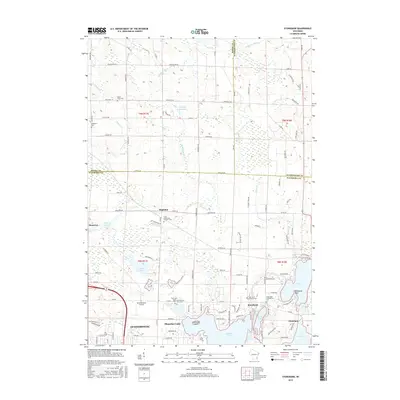 2015 Stonebank2015 Print · USGSWaukesha County's lake district is shown here in the mid-2010s, where rural township roads meet expanding shoreline communities. Researchers can locate numerous family and parish sites, from the Saint Johns Lutheran Cem to the Alderley Millpond.
 - 2015 Map of Oconomowoc East, 2015 Print
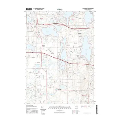 2015 Oconomowoc East2015 Print · USGSWaukesha County's lake country is captured here in detail, showing a landscape defined by glacial waters and early Wisconsin transit routes. Researchers can trace historic cemeteries and local landmarks like Applebecker Millpond, Summit Cem, and the Bark River Airport.
 - 2015 Map of Ixonia, 2015 Print
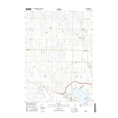 2015 Ixonia2015 Print · USGSSouthern Wisconsin's river valleys and county borders are captured here in the mid-2010s as traditional farming towns meet growing lakeside communities. Genealogists can locate family names at Glenview Memorial Gardens or trace the older roots of Old Ashippun and Monterey.
 - 2018 Map of Ixonia, 2018 Print
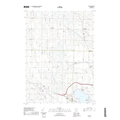 2018 Ixonia2018 Print · USGSSoutheast Wisconsin's wetland-laced interior is captured here in the late 2010s, showing the rural character between the Rock River and Lac La Belle. Researchers can locate several historic burial sites like Cross Lutheran Cem and trace the original footprints of Old Ashippun and Monterey.
 - 2018 Map of Stonebank, 2018 Print
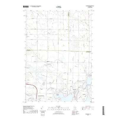 2018 Stonebank2018 Print · USGSOconomowoc and the surrounding lake country of Waukesha County are shown in the late 2010s as a landscape defined by its glacial waters and historic hamlets. Researchers can trace family roots through several local burial grounds like Mount Hope Cem and Saint Johns Lutheran Cem.
 - 2018 Map of Oconomowoc East, 2018 Print
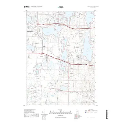 2018 Oconomowoc East2018 Print · USGSWaukesha County's lake country is mapped in detail during the late twenty-teens, showing the established waterfront communities and glacial terrain. Researchers can locate Saint John Chrysostom Episcopalian Cem and follow the Ice Age National Scenic Trail through Delafield.
 - 2018 Map of Oconomowoc West, 2018 Print
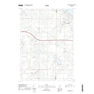 2018 Oconomowoc West2018 Print · USGSWaukesha and Jefferson counties are shown here in the late 2010s, where rural farmland meets growing lakeside communities. Researchers can trace family history at the Norwegian Cemetery, locate the McDermott Air Park, or follow the Bark River near Sullivan.
End of results
Showing maps 1-16 of 16
Top cities near Oconomowoc
- Waukesha historical maps
- Watertown historical maps
- Hartford historical maps
- Oconomowoc historical maps
- City of Pewaukee historical maps
- Richfield historical maps
See more
Top neighborhoods of Oconomowoc
- Mapleton historical maps
- Monterey historical maps
- Okauchee Lake historical maps
- Okauchee historical maps
Frequently asked questions
- What are the different types of historical maps available for Oconomowoc?
- What is the oldest map of Oconomowoc?
- Where can I purchase historical maps of Oconomowoc for my home or office?
- Where can I download high-res historical maps of Oconomowoc?
- Are there historical topographic maps available for Oconomowoc?
- Is there historical aerial imagery available for Oconomowoc?
- Where are historical maps of Oconomowoc sourced from?