2000s (21st Century) Maps of Dakota, Wisconsin
Explore 20 historic maps of Dakota from the 2000s (21st Century). These maps offer a rare glimpse into what life looked like during the 2000s — showing old roads, neighborhoods, homes, and landmarks that have changed or disappeared over time.
Whether you're researching your family's past, planning a metal detecting trip, or studying how Dakota's landscape evolved across the 2000s, these high-resolution maps are a powerful tool for exploring the history of this region.
- Focus on a specific era: All maps on this page are from the 2000s, giving you a focused view of this time period.
- See what’s changed: Compare century-old streets, trails, and buildings to today's modern landscape using overlays and satellite layers.
- Research with precision: Use these maps for genealogy, historical research, land use analysis, or educational projects.
- View, download, or print: Maps are fully viewable online in high resolution, and can be downloaded or printed for your own records.
Start exploring Dakota's history through authentic maps from the 2000s. This is your window into the past.
Dakota, WI maps
(20)- 2010 Map of Neshkoro, 2010 Print
 2010 Neshkoro2010 Print · USGSCovers Dakota, including Neshkoro, Seneca, and other nearby areas
 - 2010 Map of Spring Lake, 2010 Print
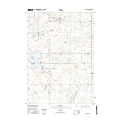
 2010 Spring Lake2010 Print · USGSCovers Dakota, including Lohrville, Silver Lake, and other nearby areas
 - 2010 Map of Wautoma, 2010 Print
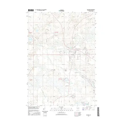
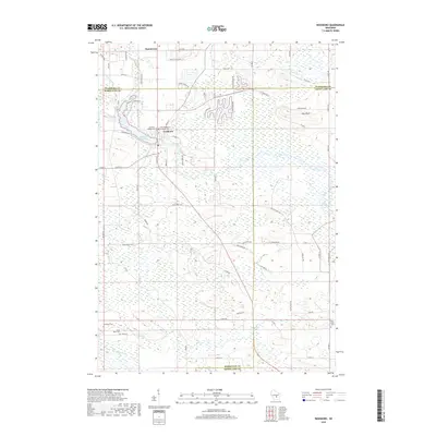
 2010 Wautoma2010 Print · USGSCovers Dakota, including Wautoma, Richford, and other nearby areas
 - 2011 Map of Germania, 2011 Print
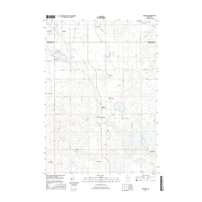
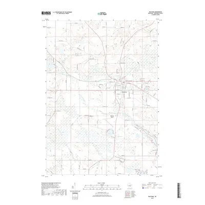
 2011 Germania2011 Print · USGSCovers Dakota, including Germania, Newton, and other nearby areas
 - 2013 Map of Germania, 2013 Print
 2013 Germania2013 Print · USGSCovers Dakota, including Germania, Newton, and other nearby areas
 - 2013 Map of Neshkoro, 2013 Print
 2013 Neshkoro2013 Print · USGSCovers Dakota, including Neshkoro, Seneca, and other nearby areas
 - 2013 Map of Wautoma, 2013 Print
 2013 Wautoma2013 Print · USGSCovers Dakota, including Wautoma, Richford, and other nearby areas
 - 2013 Map of Spring Lake, 2013 Print
 2013 Spring Lake2013 Print · USGSCovers Dakota, including Lohrville, Silver Lake, and other nearby areas
 - 2015 Map of Spring Lake, 2015 Print
 2015 Spring Lake2015 Print · USGSCovers Dakota, including Lohrville, Silver Lake, and other nearby areas
 - 2015 Map of Wautoma, 2015 Print
 2015 Wautoma2015 Print · USGSCovers Dakota, including Wautoma, Richford, and other nearby areas
 - 2016 Map of Germania, 2016 Print
 2016 Germania2016 Print · USGSCovers Dakota, including Germania, Newton, and other nearby areas
 - 2016 Map of Neshkoro, 2016 Print
 2016 Neshkoro2016 Print · USGSCovers Dakota, including Neshkoro, Seneca, and other nearby areas
 - 2018 Map of Neshkoro, 2018 Print
 2018 Neshkoro2018 Print · USGSCovers Dakota, including Neshkoro, Seneca, and other nearby areas
 - 2018 Map of Wautoma, 2018 Print
 2018 Wautoma2018 Print · USGSCovers Dakota, including Wautoma, Richford, and other nearby areas
 - 2018 Map of Spring Lake, 2018 Print
 2018 Spring Lake2018 Print · USGSCovers Dakota, including Lohrville, Silver Lake, and other nearby areas
 - 2018 Map of Germania, 2018 Print
 2018 Germania2018 Print · USGSCovers Dakota, including Germania, Newton, and other nearby areas
 - 2022 Map of Neshkoro, 2022 Print
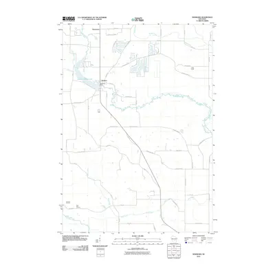
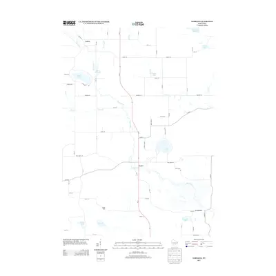
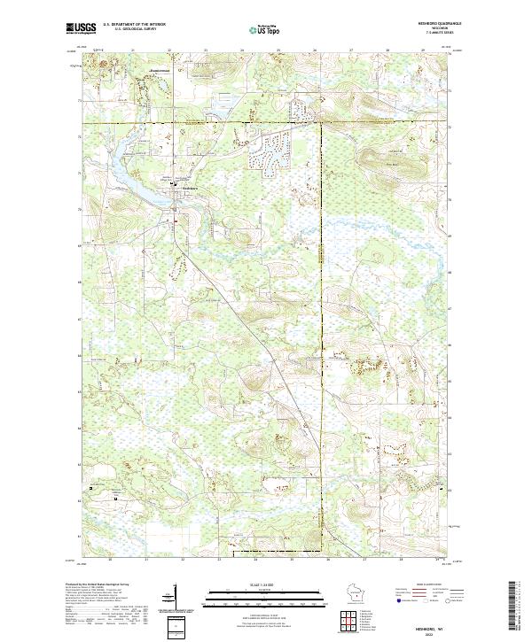 2022 Neshkoro2022 Print · USGSMarquette and Waushara counties meet in this 2022 survey of central Wisconsin's river country. Local historians can trace family burial sites at Germania Cem and Black Creek Cem or locate old property lines near Neshkoro Mill Pond.
 - 2022 Map of Germania, 2022 Print
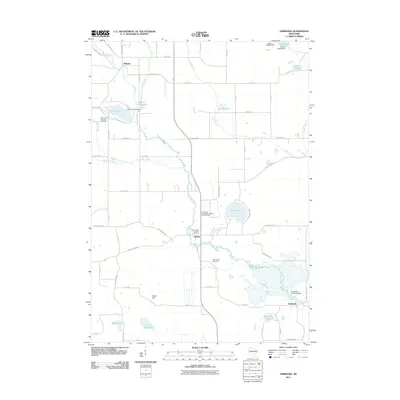
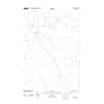
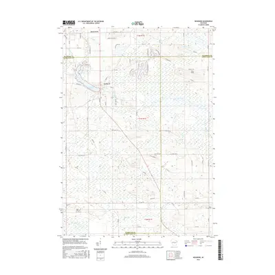
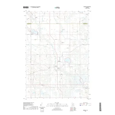
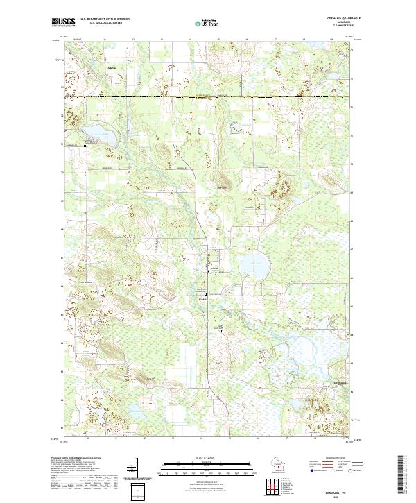 2022 Germania2022 Print · USGSMarquette and Waushara Counties are depicted here in recent years, showing a landscape defined by the Mecan River and quiet lakeside settlements. Genealogists can trace family names and local history at Tagatz Cem, Saint Johns Lutheran Cem, and the village of Budsin.
 - 2022 Map of Wautoma, 2022 Print
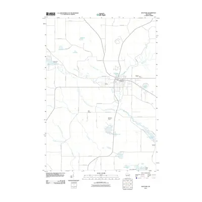
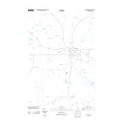
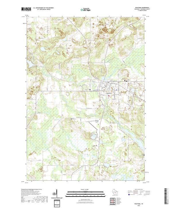 2022 Wautoma2022 Print · USGSThe city of Wautoma and the surrounding lake country are shown here in the early twenty-first century as a well-developed regional hub. Genealogists can trace family names through local burial grounds like Wautoma Union Cem and Maple Grove Cem.
 - 2022 Map of Spring Lake, 2022 Print
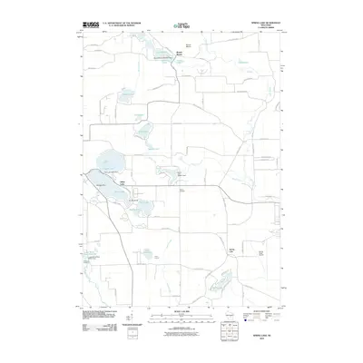
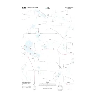
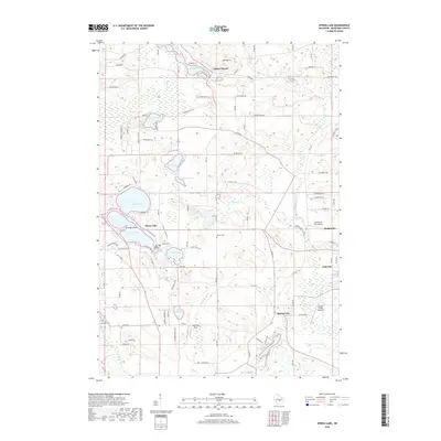
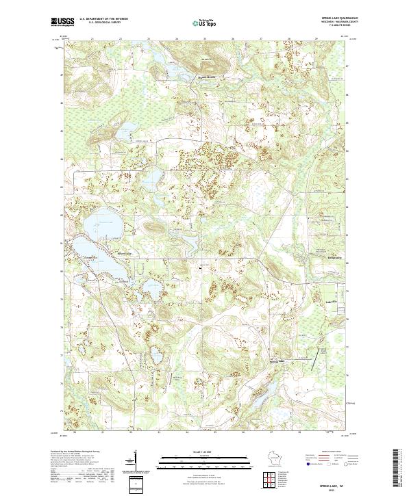 2022 Spring Lake2022 Print · USGSWaushara County’s lake-dotted landscape is captured here in the early twenty-first century, showing the balance between seasonal lakeside life and rural agriculture. Researchers can trace land ownership and property boundaries near Mount Morris, Redgranite, and the historic Marion Cem.
End of results
Showing maps 1-20 of 20
Top cities near Dakota
- Wautoma historical maps
- Redgranite historical maps
- Montello historical maps
- Princeton historical maps
- Packwaukee historical maps
- Wild Rose historical maps
See more
Frequently asked questions
- What are the different types of historical maps available for Dakota?
- What is the oldest map of Dakota?
- Where can I purchase historical maps of Dakota for my home or office?
- Where can I download high-res historical maps of Dakota?
- Are there historical topographic maps available for Dakota?
- Is there historical aerial imagery available for Dakota?
- Where are historical maps of Dakota sourced from?