Old Maps of Wautoma, Wisconsin for Hiking & Exploration
Hike through history with 28 historic maps of Wautoma. Explore old trails, ghost towns, and forgotten backroads — perfect for outdoor adventurers and local explorers.
- Rediscover forgotten places: Map out old mining camps, roads, and footpaths that no longer exist on modern maps.
- Layer with modern tools: Combine with LiDAR or satellite views to plan hikes through historical terrain.
- Made for exploration: Popular among hikers, overlanders, and local history lovers.
Use these maps to find adventure and explore the hidden past of Wautoma.
Wautoma, WI maps
(28)- 1955 Map of Green Bay, 1968 Print
 1955 Green Bay1968 Print · USGSCentral and Eastern Wisconsin are captured here in the mid-fifties, showing the industrial growth of the Fox Valley and Wisconsin River corridors. Genealogists and historians can trace rail lines like the Green Bay and Western through settlements like Weyauwega, Clintonville, and Pulaski.2 unique versions available
 - 1959 Map of Wautoma, 1961 Print
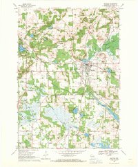
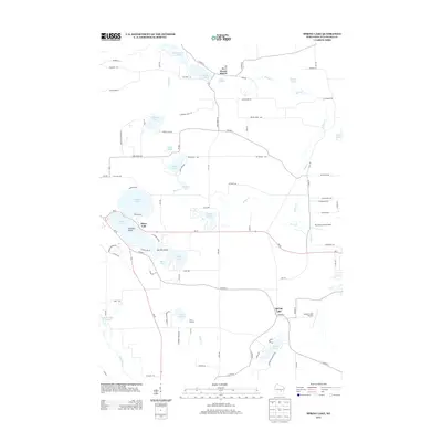
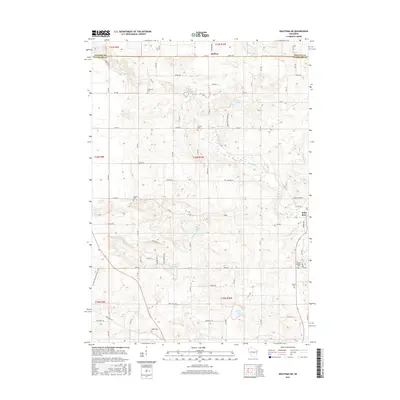
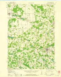 1959 Wautoma1961 Print · USGSWaushara County in the late fifties shows a rural landscape defined by glacial lakes and a developing transportation network. Genealogists can trace family names through numerous sites like Richford Cem, West Holden Ch, and St Pauls Cem.
 - 1961 Map of Redgranite, 1963 Print
 1961 Redgranite1963 Print · USGSWaushara County’s kettle lake country is captured here in the early sixties, showing a landscape shaped by stone quarries and summer camps. Researchers can trace the Chicago and North Western rail line and find local landmarks like St Marks Cem and the Wild Rose State Fish Hatchery.2 unique versions available
 - 1961 Map of Wild Rose, 1966 Print
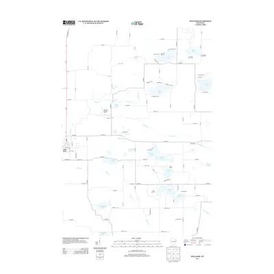
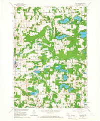 1961 Wild Rose1966 Print · USGSThe village of Wild Rose and its lake-strewn surroundings are captured here in the early sixties before modern development reshaped the landscape. Researchers can locate family landmarks such as Springwater Cem, the Wild Rose State Fish Hatchery, and numerous summer camps like Camp Windego.2 unique versions available
 - 1961 Map of Spring Lake, 1966 Print
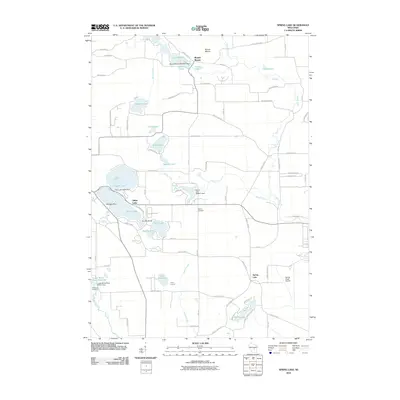
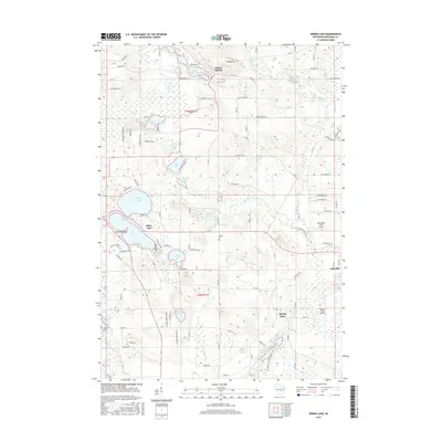
 1961 Spring Lake1966 Print · USGSWaushara County in the early sixties was a landscape of scattered rural hamlets and numerous glacial lakes. Genealogists and historians can locate the Mountain View Sch, Raymond Cem, and the Chicago and North Western rail line.2 unique versions available
 - 1968 Map of Wautoma, 1971 Print
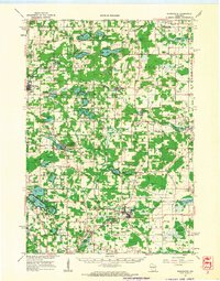
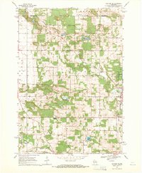
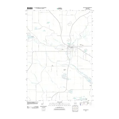
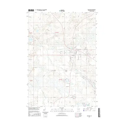
 1968 Wautoma1971 Print · USGSWautoma and its surrounding glacial lakes are seen here in the late sixties, as the local economy balanced rail transport with emerging recreation. Local researchers can locate several rural burial grounds like North Dakota Cemetery and trace the old Chicago and North Western line.
 - 1968 Map of Wautoma NE, 1971 Print
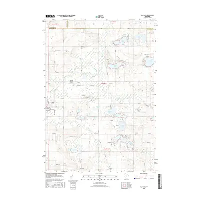
 1968 Wautoma NE1971 Print · USGSWaushara County during the late sixties shows a landscape of small farms and lakeside recreation centered around the Wild Rose village. Genealogists and local historians can trace rural family roots through sites like Bohemian Cem, West Holden Ch, and Union Cem.2 unique versions available
 - 1985 Map of Wisconsin Rapids
 1985 Wisconsin Rapids1985 Print · USGSCentral Wisconsin in the mid-eighties shows a landscape of engineered waterways and active rail corridors between Wisconsin Rapids and Waupaca. Genealogists and researchers can trace local landmarks like Roche A Cri State Park, the SOO LINE, and small settlements like Coddington or Rudolph.2 unique versions available
 - 2010 Map of Wild Rose, 2010 Print
 2010 Wild Rose2010 Print · USGSCovers Wautoma, including Wild Rose, Saxeville, and other nearby areas
 - 2010 Map of Wautoma NE, 2010 Print
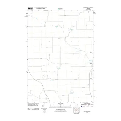 2010 Wautoma NE2010 Print · USGSCovers Wautoma, including Wild Rose, Heffron, and other nearby areas
 - 2010 Map of Spring Lake, 2010 Print
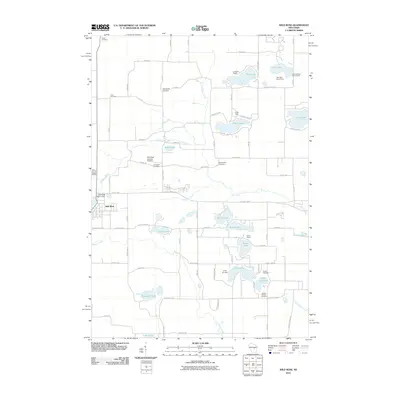
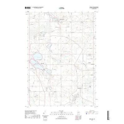
 2010 Spring Lake2010 Print · USGSCovers Wautoma, including Lohrville, Silver Lake, and other nearby areas
 - 2010 Map of Wautoma, 2010 Print
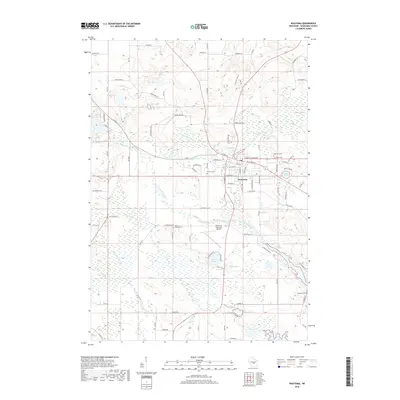
 2010 Wautoma2010 Print · USGSCovers Wautoma, including Richford, Dakota, and other nearby areas
 - 2013 Map of Wautoma NE, 2013 Print
 2013 Wautoma NE2013 Print · USGSCovers Wautoma, including Wild Rose, Heffron, and other nearby areas
 - 2013 Map of Wautoma, 2013 Print
 2013 Wautoma2013 Print · USGSCovers Wautoma, including Richford, Dakota, and other nearby areas
 - 2013 Map of Spring Lake, 2013 Print
 2013 Spring Lake2013 Print · USGSCovers Wautoma, including Lohrville, Silver Lake, and other nearby areas
 - 2013 Map of Wild Rose, 2013 Print
 2013 Wild Rose2013 Print · USGSCovers Wautoma, including Wild Rose, Saxeville, and other nearby areas
 - 2015 Map of Spring Lake, 2015 Print
 2015 Spring Lake2015 Print · USGSCovers Wautoma, including Lohrville, Silver Lake, and other nearby areas
 - 2015 Map of Wild Rose, 2015 Print
 2015 Wild Rose2015 Print · USGSCovers Wautoma, including Wild Rose, Saxeville, and other nearby areas
 - 2015 Map of Wautoma NE, 2015 Print
 2015 Wautoma NE2015 Print · USGSCovers Wautoma, including Wild Rose, Heffron, and other nearby areas
 - 2015 Map of Wautoma, 2015 Print
 2015 Wautoma2015 Print · USGSCovers Wautoma, including Richford, Dakota, and other nearby areas
 - 2018 Map of Wild Rose, 2018 Print
 2018 Wild Rose2018 Print · USGSCovers Wautoma, including Wild Rose, Saxeville, and other nearby areas
 - 2018 Map of Wautoma NE, 2018 Print
 2018 Wautoma NE2018 Print · USGSCovers Wautoma, including Wild Rose, Heffron, and other nearby areas
 - 2018 Map of Wautoma, 2018 Print
 2018 Wautoma2018 Print · USGSCovers Wautoma, including Richford, Dakota, and other nearby areas
 - 2018 Map of Spring Lake, 2018 Print
 2018 Spring Lake2018 Print · USGSCovers Wautoma, including Lohrville, Silver Lake, and other nearby areas
 - 2022 Map of Wild Rose, 2022 Print
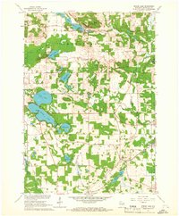
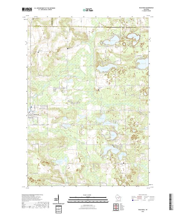 2022 Wild Rose2022 Print · USGSThe lakeside communities of Waushara County are captured here during a period of steady growth and recreational importance. Researchers can trace family sites near Wild Rose, locate the Caersalem Cem, or explore the shores of Gilbert Lake and Silver Lake.
Showing maps 1-25 of 28
Top cities near Wautoma
- Waupaca historical maps
- Wautoma historical maps
- Redgranite historical maps
- Wild Rose historical maps
- Bancroft historical maps
- Plainfield historical maps
See more
Frequently asked questions
- What are the different types of historical maps available for Wautoma?
- What is the oldest map of Wautoma?
- Where can I purchase historical maps of Wautoma for my home or office?
- Where can I download high-res historical maps of Wautoma?
- Are there historical topographic maps available for Wautoma?
- Is there historical aerial imagery available for Wautoma?
- Where are historical maps of Wautoma sourced from?