Old Maps of Algoma, Wisconsin for Hiking & Exploration
Hike through history with 33 historic maps of Algoma. Explore old trails, ghost towns, and forgotten backroads — perfect for outdoor adventurers and local explorers.
- Rediscover forgotten places: Map out old mining camps, roads, and footpaths that no longer exist on modern maps.
- Layer with modern tools: Combine with LiDAR or satellite views to plan hikes through historical terrain.
- Made for exploration: Popular among hikers, overlanders, and local history lovers.
Use these maps to find adventure and explore the hidden past of Algoma.
Algoma, WI maps
(33)- 1955 Map of Green Bay, 1968 Print
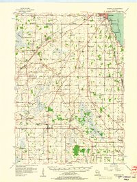
 1955 Green Bay1968 Print · USGSCentral and Eastern Wisconsin are captured here in the mid-fifties, showing the industrial growth of the Fox Valley and Wisconsin River corridors. Genealogists and historians can trace rail lines like the Green Bay and Western through settlements like Weyauwega, Clintonville, and Pulaski.2 unique versions available
 - 1956 Map of Rosendale, 1957 Print
 1956 Rosendale1957 Print · USGSWisconsin's farm country meets the shores of Lake Winnebago in the mid-fifties, just as the rural schoolhouse era was fading. Researchers can trace dozens of local landmarks like Paukotuk, Woodhull (Station), and several abandoned sites like Knott Sch.2 unique versions available
 - 1957 Map of Madison, 1967 Print
 1957 Madison1967 Print · USGSSouth-central Wisconsin in the mid-fifties reveals a landscape of industrial hubs and glacial lakes linked by a dense rail and highway network. Genealogists and historians can trace the development of lakeside communities and find notable sites like Badger Ordnance Works and the Horicon National Wildlife Refuge.3 unique versions available
 - 1960 Map of Madison
 1960 Madison1960 Print · USGSCentral and Southern Wisconsin are captured in the late fifties, showing the region as its rail-and-river network matured. Trace the paths of the Soo Line RR or locate family roots near Lake Mendota and Horicon National Wildlife Refuge.2 unique versions available
 - 1961 Map of Oshkosh, 1962 Print
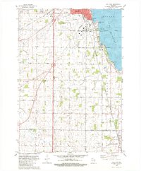
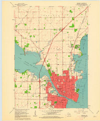 1961 Oshkosh1962 Print · USGSOshkosh and the Fox River waterfront are captured in detail during the early sixties, showing the city's transition from a rail-heavy industrial hub to a regional educational center. Genealogists can locate family sites near Riverside Cemetery, Wisconsin State College, or the Sunny View Sanatorium.2 unique versions available
 - 1961 Map of Oshkosh, 1963 Print
 1961 Oshkosh1963 Print · USGSThe Fox River Valley in the early sixties showcases the expansion of Oshkosh and its lakefront settlements. Genealogists and historians can trace family roots through local sites like Calvary Cem, St Peters Cem, and the Winnebago State Hospital grounds.2 unique versions available
 - 1961 Map of Omro, 1966 Print
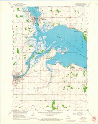 1961 Omro1966 Print · USGSThe confluence of the Wolf and Fox Rivers defines this corner of Wisconsin in the early sixties. Genealogists and historians can trace lakeside settlements like Rivermoor or find rural landmarks such as Pingry Sch and the Omro Union Cem.2 unique versions available
 - 1980 Map of Fond Du Lac
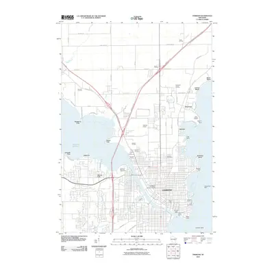
 1980 Fond Du Lac1980 Print · USGSThe Fox River Valley and Horicon Marsh meet here during the late twentieth century, showing a transition from lakeside industry to glacial conservation. Genealogists can locate family sites at Estabrook Cem or trace the rail lines through Ripon and Waupun.
 - 1980 Map of Pickett, 1981 Print
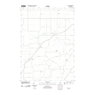
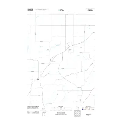
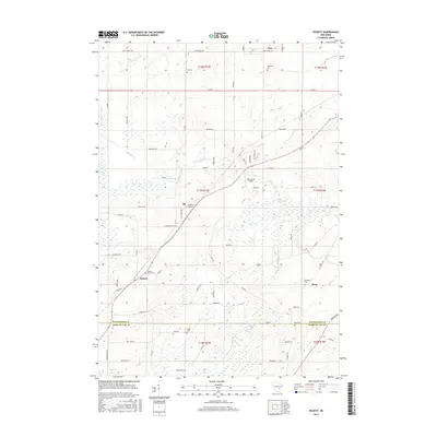
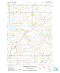 1980 Pickett1981 Print · USGSCrossing Winnebago and Fond du Lac counties in the late seventies, this survey shows a thriving rural landscape linked by rail and private airstrips. Local historians can trace family roots at Liberty Prairie Cem, visit Zoar Ch, or locate old schools like Utica Center Sch.
 - 1980 Map of Van Dyne, 1981 Print
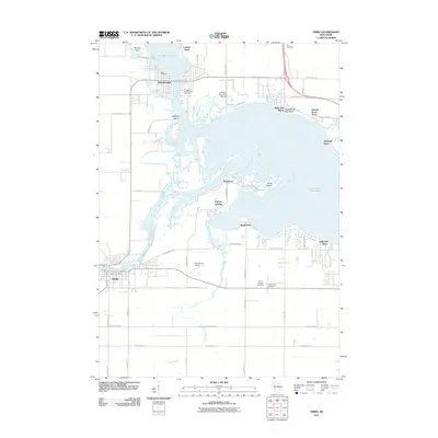
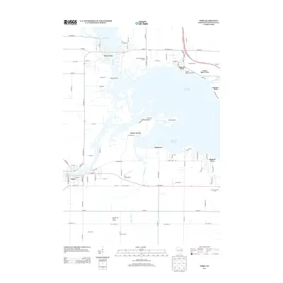
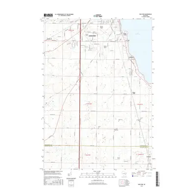
 1980 Van Dyne1981 Print · USGSWinnebago and Fond du Lac counties meet along the shores of Lake Winnebago in the early eighties. Local historians can trace established lakefront settlements like Paukotuk and rural landmarks such as Lakeside Sch and St Johns Cem.
 - 1984 Map of Appleton, 1985 Print
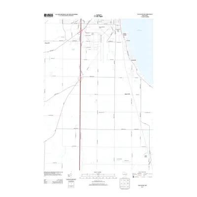
 1984 Appleton1985 Print · USGSThe Fox River Valley in the mid-eighties shows a bustling corridor of industry and nature, from the shores of Lake Winnebago to the Oneida Indian Reservation. Trace local heritage through landmarks like Riverside Cem or explore the wetlands of Poygan Marsh State Wildlife Area.2 unique versions available
 - 1992 Map of Van Dyne, 1996 Print
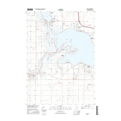
 1992 Van Dyne1996 Print · USGSThe western shores of Lake Winnebago appear in the early nineties as the communities of Oshkosh and Van Dyne were steadily growing. Genealogists can trace family roots at numerous rural burial sites like Salem Cem, Schellers Cem, and New Elm Cem.
 - 1992 Map of Oshkosh, 1996 Print
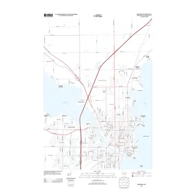
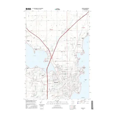
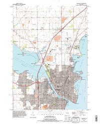 1992 Oshkosh1996 Print · USGSThe Fox River waterfront and the urban core of Oshkosh are shown here in the 1990s. Researchers can trace the grounds of the Winnebago State Hospital, the University of Wisconsin Oshkosh, and the Soo Line rail corridor.
 - 2010 Map of Van Dyne, 2010 Print
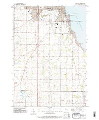
 2010 Van Dyne2010 Print · USGSCovers Algoma, including Oshkosh, Black Wolf, and other nearby areas
 - 2010 Map of Pickett, 2010 Print
 2010 Pickett2010 Print · USGSCovers Algoma, including Nekimi, Zion, and other nearby areas
 - 2010 Map of Oshkosh, 2010 Print
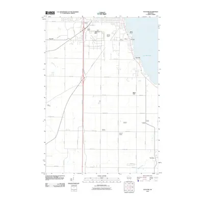
 2010 Oshkosh2010 Print · USGSCovers Algoma, including Oshkosh, Leonards Point, and other nearby areas
 - 2011 Map of Omro, 2011 Print
 2011 Omro2011 Print · USGSCovers Algoma, including Omro, Winneconne, and other nearby areas
 - 2013 Map of Van Dyne, 2013 Print
 2013 Van Dyne2013 Print · USGSCovers Algoma, including Oshkosh, Black Wolf, and other nearby areas
 - 2013 Map of Pickett, 2013 Print
 2013 Pickett2013 Print · USGSCovers Algoma, including Nekimi, Zion, and other nearby areas
 - 2013 Map of Oshkosh, 2013 Print
 2013 Oshkosh2013 Print · USGSCovers Algoma, including Oshkosh, Leonards Point, and other nearby areas
 - 2013 Map of Omro, 2013 Print
 2013 Omro2013 Print · USGSCovers Algoma, including Omro, Winneconne, and other nearby areas
 - 2015 Map of Pickett, 2015 Print
 2015 Pickett2015 Print · USGSCovers Algoma, including Nekimi, Zion, and other nearby areas
 - 2015 Map of Van Dyne, 2015 Print
 2015 Van Dyne2015 Print · USGSCovers Algoma, including Oshkosh, Black Wolf, and other nearby areas
 - 2016 Map of Omro, 2016 Print
 2016 Omro2016 Print · USGSCovers Algoma, including Omro, Winneconne, and other nearby areas
 - 2016 Map of Oshkosh, 2016 Print
 2016 Oshkosh2016 Print · USGSCovers Algoma, including Oshkosh, Leonards Point, and other nearby areas
Showing maps 1-25 of 33
Top cities near Algoma
- Appleton historical maps
- Oshkosh historical maps
- Fond du Lac historical maps
- Neenah historical maps
- Grand Chute historical maps
- Fox Crossing historical maps
See more
Top neighborhoods of Algoma
- Fitzgerald historical maps
- Highland Shore historical maps
- Leonards Point historical maps
- Melrose Park historical maps
- Oakwood historical maps
Frequently asked questions
- What are the different types of historical maps available for Algoma?
- What is the oldest map of Algoma?
- Where can I purchase historical maps of Algoma for my home or office?
- Where can I download high-res historical maps of Algoma?
- Are there historical topographic maps available for Algoma?
- Is there historical aerial imagery available for Algoma?
- Where are historical maps of Algoma sourced from?