2020s Maps of Hiles, Wisconsin
Explore 4 historic maps of Hiles from the 2020s. These maps offer a rare glimpse into what life looked like during the 2020s — showing old roads, neighborhoods, homes, and landmarks that have changed or disappeared over time.
Whether you're researching your family's past, planning a metal detecting trip, or studying how Hiles's landscape evolved across the 2020s, these high-resolution maps are a powerful tool for exploring the history of this region.
- Focus on a specific era: All maps on this page are from the 2020s, giving you a focused view of this time period.
- See what’s changed: Compare century-old streets, trails, and buildings to today's modern landscape using overlays and satellite layers.
- Research with precision: Use these maps for genealogy, historical research, land use analysis, or educational projects.
- View, download, or print: Maps are fully viewable online in high resolution, and can be downloaded or printed for your own records.
Start exploring Hiles's history through authentic maps from the 2020s. This is your window into the past.
Hiles, WI maps
(4)- 2022 Map of Quail Point Flowage, 2022 Print
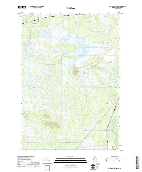 2022 Quail Point Flowage2022 Print · USGSWood County's intricate water systems are charted here in the 2020s, showing the vast flowages and marshlands of central Wisconsin. Trace family-named landmarks and landscape features like North Bluff, Quail Point Flowage, and the winding Little Yellow River.
 - 2022 Map of City Point NE, 2022 Print
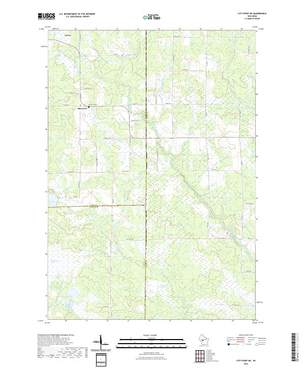 2022 City Point NE2022 Print · USGSWisconsin's marshlands at the junction of Wood, Clark, and Jackson counties are captured in this modern survey. Genealogists and local historians can trace family locations near the Sherwood Cem and the small settlements of Sherwood and Nevins.
 - 2022 Map of City Point, 2022 Print
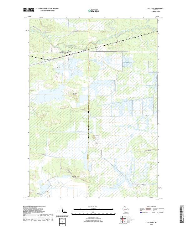 2022 City Point2022 Print · USGSThe marshlands of central Wisconsin are shown here in modern detail where the East Fork Black River flows past City Point. Researchers can trace old family burial sites at City Point Cemetery or locate distinctive landforms like Birch Bluff and Van Tassle Island.
 - 2022 Map of Pittsville, 2022 Print
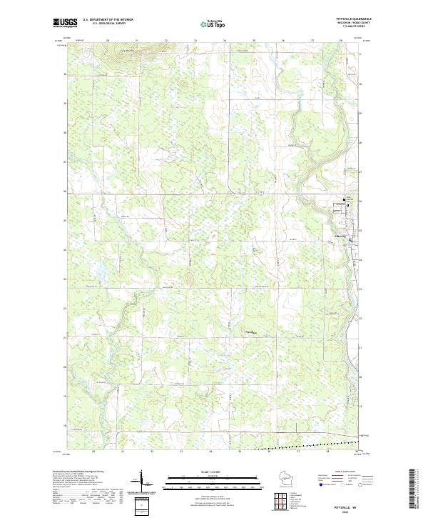 2022 Pittsville2022 Print · USGSWood County settlements and the winding Yellow River define this central Wisconsin landscape in the early twenty-first century. Genealogists can locate Saint Joachims Cem and Mound Cem, or trace the rural character of Veedum and the environs of Cary Mound.
End of results
Showing maps 1-4 of 4
Top cities near Hiles
- Pittsville historical maps
- Lynn historical maps
- Granton historical maps
- Arpin historical maps
- Sherwood historical maps
- City Point historical maps
See more
Frequently asked questions
- What are the different types of historical maps available for Hiles?
- What is the oldest map of Hiles?
- Where can I purchase historical maps of Hiles for my home or office?
- Where can I download high-res historical maps of Hiles?
- Are there historical topographic maps available for Hiles?
- Is there historical aerial imagery available for Hiles?
- Where are historical maps of Hiles sourced from?