Old Maps of Marshfield, Wisconsin for Academic Research
Study the evolution of Marshfield with 29 high-resolution historic maps. Whether you're teaching, researching, or modeling changes in land use, these maps provide essential visual documentation of urban, environmental, and geographic change.
- Analyze long-term change: Track patterns in development, transportation, and natural features.
- Ideal for environmental or urban studies: Support academic projects with primary historical map data.
- Use in the classroom or lab: Educators and researchers rely on these maps to bring historical context to life.
These maps are a powerful tool for teaching, research, and visualizing how Marshfield has changed over the decades.
Marshfield, WI maps
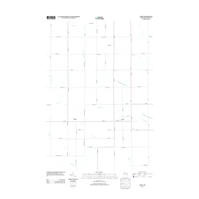
(29)- 1953 Map of Eau Claire, 1965 Print
 1953 Eau Claire1965 Print · USGSWest-central Wisconsin in the mid-fifties shows a landscape of river-valley industry and vast wildlife refuges during the transition from rails to modern highways. Genealogists and historians can trace the rail corridors of the Chicago and North Western or locate family-named landmarks like Decorah Mound and Chippewa Island.4 unique versions available
 - 1954 Map of Marshfield, 1956 Print
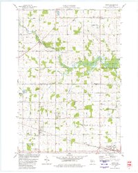
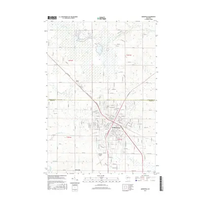
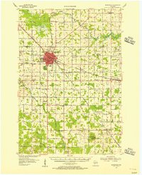 1954 Marshfield1956 Print · USGSMarshfield and the surrounding Wood County dairy lands are captured here in the mid-fifties as the city evolved into a major regional medical and rail hub. Genealogists can locate family landmarks like St Peters Ch, Trinity Cem, and dozens of rural schoolhouses including Golden Glow Sch.2 unique versions available
 - 1958 Map of Eau Claire
 1958 Eau Claire1958 Print · USGSWestern Wisconsin in the late fifties shows a landscape of growing regional hubs and massive wildlife refuges. Trace the rail lines of the Chicago and North Western between Eau Claire and Marshfield, or explore the terrain around Iron Mound and Lake Wissota.
 - 1964 Map of Eau Claire
 1964 Eau Claire1964 Print · USGSWest-central Wisconsin in the mid-1960s was a hub of river-driven industry and expanding rail networks. Researchers can trace historic homesteads near Menomonie, follow the Soo Line RR through Marshfield, or explore the grounds of the Camp McCoy Military Reservation.
 - 1979 Map of Marshfield, 1980 Print
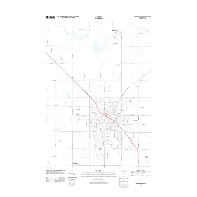
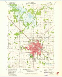 1979 Marshfield1980 Print · USGSMarshfield thrived as a central Wisconsin rail and education hub during the late seventies. Researchers can trace the path of the Soo Line and Chicago and North Western railroads, or locate family sites near Hillside Cem and St Peters Ch.
 - 1979 Map of Arpin, 1980 Print
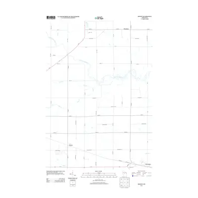
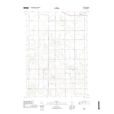
 1979 Arpin1980 Print · USGSWood County dairy and quarrying country comes into focus in the late seventies, showing the rural landscapes around Arpin and Bethel. Genealogists and historians can locate numerous burial sites including Indian Bill Cem and Slidre Cem or trace the paths of the SOO LINE and CHICAGO AND NORTH WESTERN railroads.
 - 1979 Map of Lake Manakiki, 1980 Print
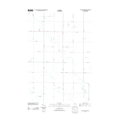
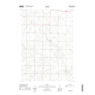
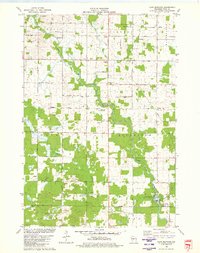 1979 Lake Manakiki1980 Print · USGSWood County’s rural townships and river bends are captured here in the late seventies. Genealogists and local historians can trace family-named roads like Thompson Road and locate burial sites at Trinity Cem or Richfield Cem.
 - 1979 Map of Hewitt, 1980 Print
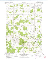
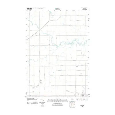
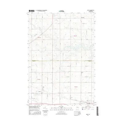
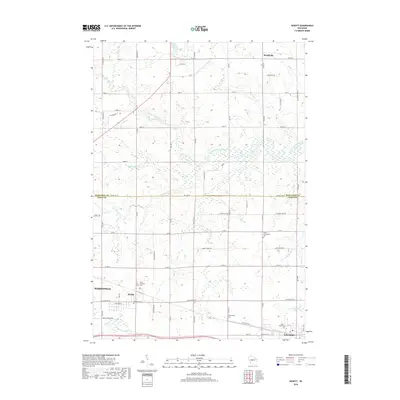
 1979 Hewitt1980 Print · USGSThe Wood and Marathon County border country is captured here in the late seventies, showing the traditional rail-and-road layout of central Wisconsin. Family historians can locate numerous rural burial grounds like St Michaels Cem and Auburndale Cem, or trace the winding Little Eau Pleine River.
 - 1984 Map of Marshfield, 1985 Print
 1984 Marshfield1985 Print · USGSCentral Wisconsin's dairy heartland comes into focus during the mid-eighties as a busy network of rail and farm towns. Researchers can trace the path of the Soo Line, identify the grounds of McMillan State Wildlife Area, and locate smaller settlements like Spokeville and Tioga.2 unique versions available
 - 2010 Map of Arpin, 2010 Print
 2010 Arpin2010 Print · USGSCovers Marshfield, including Arpin, Wood, and other nearby areas
 - 2010 Map of Marshfield, 2010 Print
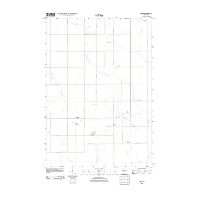
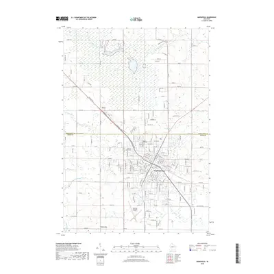
 2010 Marshfield2010 Print · USGSCovers Marshfield, including McMillan, Bakerville, and other nearby areas
 - 2010 Map of Lake Manakiki, 2010 Print
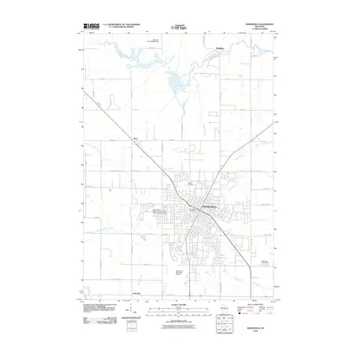
 2010 Lake Manakiki2010 Print · USGSCovers Marshfield, including Wood, Richfield, and other nearby areas
 - 2010 Map of Hewitt, 2010 Print
 2010 Hewitt2010 Print · USGSCovers Marshfield, including McMillan, Auburndale, and other nearby areas
 - 2013 Map of Lake Manakiki, 2013 Print
 2013 Lake Manakiki2013 Print · USGSCovers Marshfield, including Wood, Richfield, and other nearby areas
 - 2013 Map of Marshfield, 2013 Print
 2013 Marshfield2013 Print · USGSCovers Marshfield, including McMillan, Bakerville, and other nearby areas
 - 2013 Map of Hewitt, 2013 Print
 2013 Hewitt2013 Print · USGSCovers Marshfield, including McMillan, Auburndale, and other nearby areas
 - 2013 Map of Arpin, 2013 Print
 2013 Arpin2013 Print · USGSCovers Marshfield, including Arpin, Wood, and other nearby areas
 - 2015 Map of Marshfield, 2015 Print
 2015 Marshfield2015 Print · USGSCovers Marshfield, including McMillan, Bakerville, and other nearby areas
 - 2015 Map of Lake Manakiki, 2015 Print
 2015 Lake Manakiki2015 Print · USGSCovers Marshfield, including Wood, Richfield, and other nearby areas
 - 2015 Map of Arpin, 2015 Print
 2015 Arpin2015 Print · USGSCovers Marshfield, including Arpin, Wood, and other nearby areas
 - 2015 Map of Hewitt, 2015 Print
 2015 Hewitt2015 Print · USGSCovers Marshfield, including McMillan, Auburndale, and other nearby areas
 - 2018 Map of Arpin, 2018 Print
 2018 Arpin2018 Print · USGSCovers Marshfield, including Arpin, Wood, and other nearby areas
 - 2018 Map of Hewitt, 2018 Print
 2018 Hewitt2018 Print · USGSCovers Marshfield, including McMillan, Auburndale, and other nearby areas
 - 2018 Map of Lake Manakiki, 2018 Print
 2018 Lake Manakiki2018 Print · USGSCovers Marshfield, including Wood, Richfield, and other nearby areas
 - 2018 Map of Marshfield, 2018 Print
 2018 Marshfield2018 Print · USGSCovers Marshfield, including McMillan, Bakerville, and other nearby areas
Showing maps 1-25 of 29
Top cities near Marshfield
- Marshfield historical maps
- McMillan historical maps
- Spencer historical maps
- Stratford historical maps
- Pittsville historical maps
- Lynn historical maps
See more
Frequently asked questions
- What are the different types of historical maps available for Marshfield?
- What is the oldest map of Marshfield?
- Where can I purchase historical maps of Marshfield for my home or office?
- Where can I download high-res historical maps of Marshfield?
- Are there historical topographic maps available for Marshfield?
- Is there historical aerial imagery available for Marshfield?
- Where are historical maps of Marshfield sourced from?